Nassau, New Providence, The Bahamas — Caribbean Region (Atlantic Ocean)
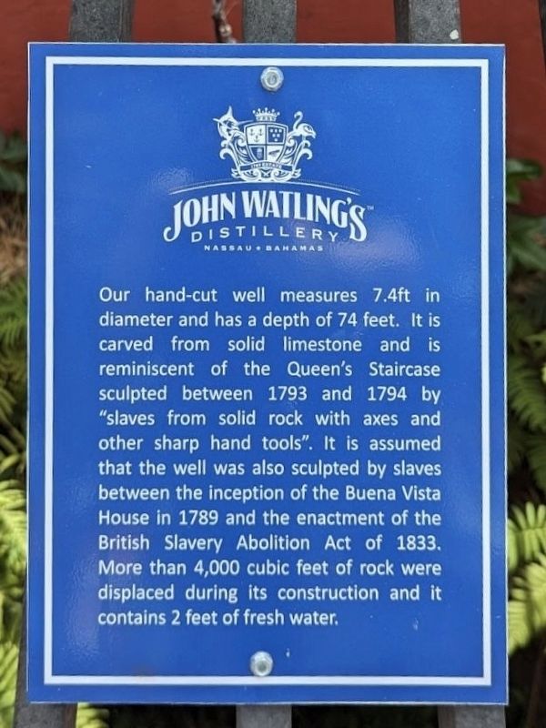
John Watling's Distillery
Nassau • Bahamas
Photographed by Diane Murphy, April 2024
1. Hand-Cut Well Marker
Topics. This historical marker is listed in these topic lists: Colonial Era • Industry & Commerce. A significant historical year for this entry is 1793.
Location. 25° 4.479′ N, 77° 20.946′ W. Marker is in Nassau, New Providence. It can be reached from the intersection of Delancy Street and Augusta Street, on the right when traveling east. Touch for map. Marker is at or near this postal address: 17 Meeting St, Nassau, New Providence, The Bahamas. Touch for directions.

Regionally, it is on the Atlantic Ocean, in North America, in the Western Hemisphere, and in the Anglosphere. Historically,
this page online
Other nearby markers. At least 6 other markers are within 11 kilometers of this marker, measured as the crow flies: The Bahamas Memorial Cenotaph (approx. 0.9 kilometers away); Sir George Gamblin Memorial (approx. 0.9 kilometers away); The Bahamas Grant (approx. 0.9 kilometers away); Fort Fincastle (approx. 1.1 kilometers away); The Queen’s Staircase (approx. 1.2 kilometers away); The Caves (approx. 10.2 kilometers away).
Another marker is no longer nearby. Hand-Cut Well (was here, next to this marker but has been replaced with another marker now near it).
Related marker. Click here for another marker that is related to this marker. This marker has replaced the linked marker.
Photographed by Diane Murphy, April 2024
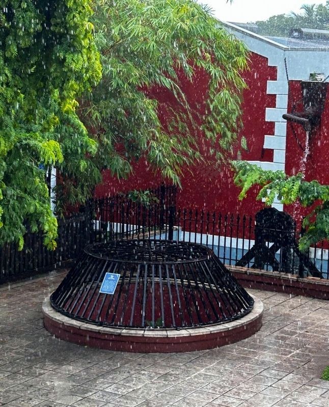
2. Hand-Cut Well and Marker
April 1, 2023
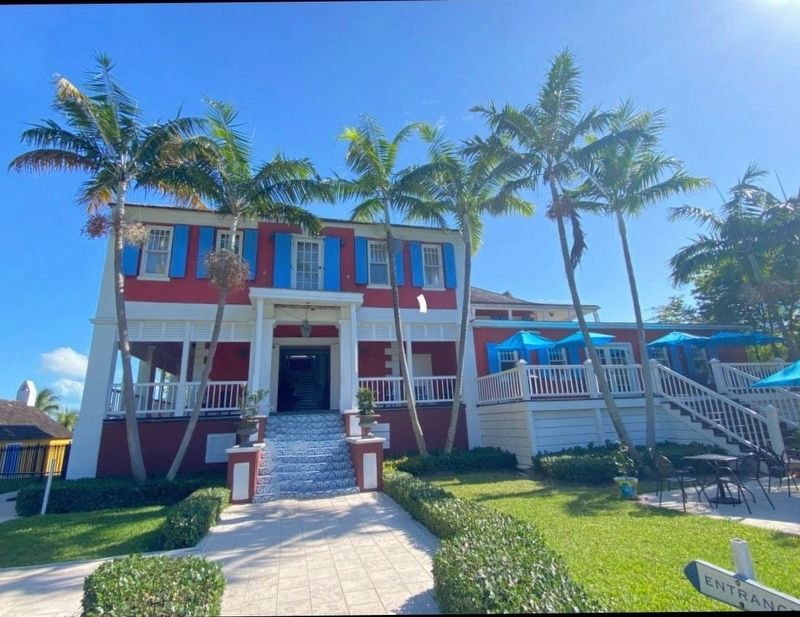
3. Buena Vista House, site of the Hand-Cut Well and Marker
Credits. This page was last revised on December 20, 2025. It was originally submitted on November 25, 2024, by Diane Murphy of Saint Cloud, Florida. This page has been viewed 207 times since then and 30 times this year. Photos: 1, 2. submitted on November 18, 2024, by Diane Murphy of Saint Cloud, Florida. 3. submitted on May 26, 2023, by Diane Murphy of Saint Cloud, Florida. • Devry Becker Jones was the editor who published this page.
