Near Fallon in Churchill County, Nevada — The American Mountains (Southwest)
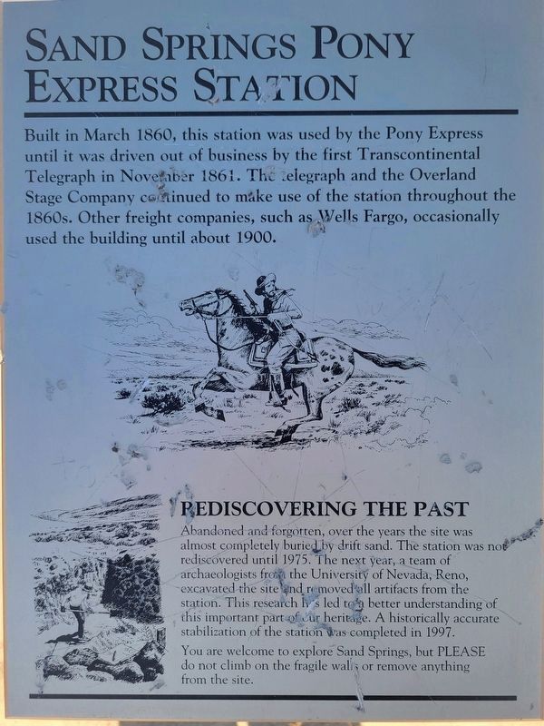
Sand Springs Pony Express Station
Photographed by Jeremy Snow, November 21, 2024
1. Sand Springs Pony Express Station Marker
Built in March 1860, this station was used by the Pony Express until it was driven out of business by the first Transcontinental Telegraph in November 1861. The telegraph and the Overland Stage Company continued to make use of the station throughout the 1860s. Other freight companies, such as Wells Fargo, occasionally used the building until about 1900.
Rediscovering the Past
Abandoned and forgotten, over the years the site was almost completely buried by drift sand. The station was not rediscovered until 1975. The next year, a team of archaeologists from the University of Nevada, Reno, excavated the site and removed all artifacts from the station. This research has led to a better understanding of this important part of our heritage. A historically accurate stabilization of the station was completed in 1997.
You are welcome to explore Sand Springs, but PLEASE do not climb on the fragile walls or remove anything from the site.
Topics and series. This historical marker is listed in these topic lists: Industry & Commerce • Roads & Vehicles. In addition, it is included in the Pony Express National Historic Trail
this page online
Location. 39° 17.465′ N, 118° 25.085′ W. Marker is near Fallon, Nevada, in Churchill County. It can be reached from Austin Highway (U.S. 50). Marker can be reached from US Highway 50 (U.S. 50). Sand Mountain is about 20-25 miles east of Fallon, NV off of Highway 50. Take the road (north) that leads toward Sand Mountain Recreation Area, follow the signs to the Pony Express Station parking area, then walk. Touch for map. Touch for directions.

Regionally, this marker is in Northern Nevada. It is also in the American Mountain West. Globally, it is in North America, the Western Hemisphere, the Western World, and the Anglosphere. Historically, it finds itself in what was once New Spain and also Mexico’s Alta California.
Other nearby markers. At least 8 other markers are within 9 miles of this marker, measured as the crow flies: Sand Mountain Pony Express Station (here, next to this marker); Taking Refuge (a few steps from this marker); Swift Steeds Tie East to West (about 700 feet away, measured in a direct line); What Are Those Rocks Out There? (about 700 feet away); Central Overland Trail - Sand Springs Station

Photographed by Jeremy Snow, November 21, 2024
2. Sand Springs Pony Express Station and Marker
Credits. This page was last revised on January 5, 2025. It was originally submitted on November 28, 2024, by Jeremy Snow of Cedar City, Utah. This page has been viewed 405 times since then and 63 times this year. Photos: 1, 2. submitted on November 28, 2024, by Jeremy Snow of Cedar City, Utah. • Andrew Ruppenstein was the editor who published this page.
