Near Fallon in Churchill County, Nevada — The American Mountains (Southwest)
Taking Refuge
Photographed by Jeremy Snow, November 21, 2024
1. Taking Refuge Marker
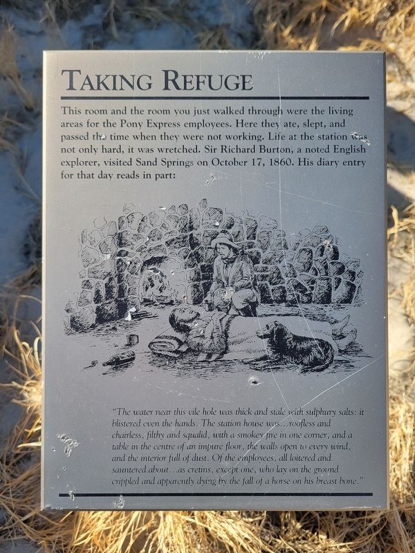
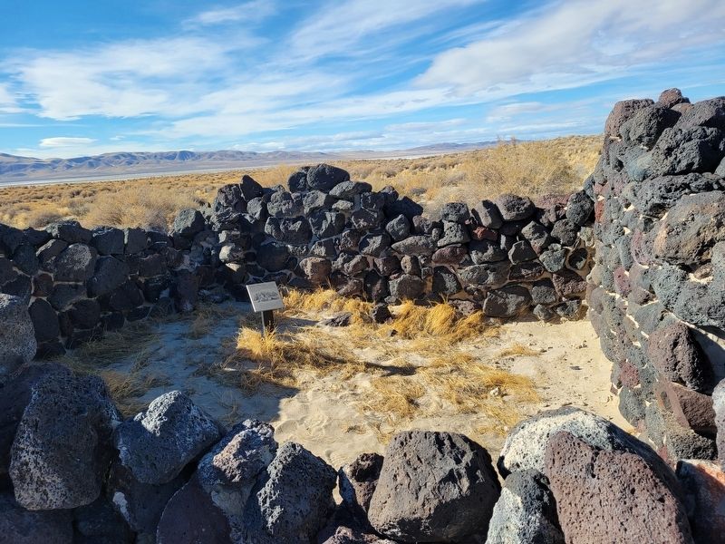
This room and the room you just walked through were the living areas for the Pony Express employees. Here they ate, slept, and passed the time when they were not working. Life at the station was not only hard, it was wretched. Sir Richard Burton, a noted English explorer, visited Sand Springs on October 17, 1860. His diary entry for that day reads in part:
"The water near this vile hole was thick and stale with sulphury salts: it blistered even the hands. The station house was… roofless and chairless, filthy and squalid, with a smokey fire in one corner, and a table in the centre of an impure floor, the walls open to every wind, and the interior full of dust. Of the employees, all loitered and sauntered about… as cretins, except one, who lay on the ground crippled and apparently dying by the fall of a horse on his breast bone."
Topics and series. This historical marker is listed in these topic lists: Communications • Exploration • Roads & Vehicles. In addition, it is included in the Pony Express National Historic Trail series list. A significant historical date for this entry is October 17, 1860.
Location. 39° 17.462′ N, 118° 25.091′ W.
this page online

Regionally, this marker is in Northern Nevada. It is also in the American Mountain West. Globally, it is in North America, the Western Hemisphere, the Western World, and the Anglosphere. Historically, it finds itself in what was once New Spain and also Mexico’s Alta California.
Other nearby markers. At least 8 other markers are within 9 miles of this marker, measured as the crow flies: Sand Mountain Pony Express Station (here, next to this marker); Sand Springs Pony Express Station (a few steps from this marker); Swift Steeds Tie East to West (about 800 feet away, measured in a direct line); What Are Those Rocks Out There? (about 800 feet away); Central Overland Trail - Sand Springs Station (approx. 0.2 miles away); Sand Mountain
Photographed by Jeremy Snow, November 21, 2024
2. Taking Refuge Marker
Credits. This page was last revised on March 9, 2026. It was originally submitted on November 28, 2024, by Jeremy Snow of Cedar City, Utah. This page has been viewed 245 times since then and 23 times this year. Photos: 1, 2. submitted on November 28, 2024, by Jeremy Snow of Cedar City, Utah. • Andrew Ruppenstein was the editor who published this page.
