Mystic in Groton in Southeastern Region, Connecticut — The American Northeast (New England)
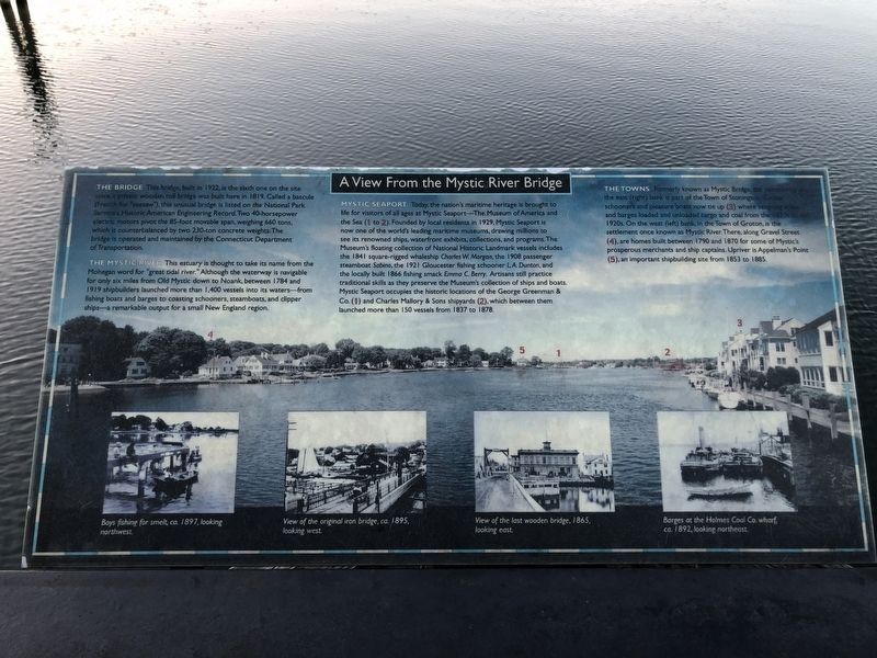
A View From the Mystic River Bridge
Photographed by Barry Swackhamer, May 26, 2022
1. A View From the Mystic River Bridge Marker
The Mystic River This estuary is thought to take its name from the Mohegan word for "great tidal river." Although the waterway is navigable for only six miles form Old Mystic down the Noank, between 1784 and 1919 shipbuilders launched more than 1,400 vessels into its waters --from fishing boats, and barges to coasting schooners, steamboats, and clipper ships -- a remarkable output for a small New England region.
Mystic Seaport Today, the nation's maritime heritage is brought to life for visitors of all ages at Mystic Seaport -- The Museum of America and the Sea (1 to 2). Founded by local residents in 1929, Mystic Seaport is now
this page online
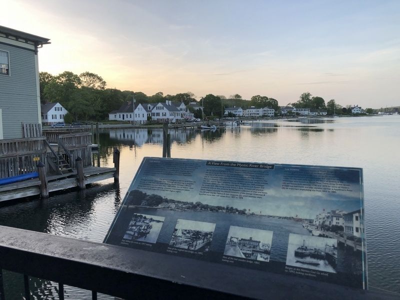
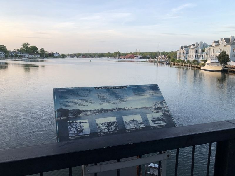
The Towns Formerly known as Mystic Bridge the coming from the the east (right) bank is part of the Town of Stonington (?) schooners and pleasure boats now tie up (3) where seagoing ships and barges loaded and unloaded cargo and coal from the 1870s to the 1920s. On the west (left) bank, in the town of Groton, is the settlement once known as Mystic River. There, along Gravel Street (4), are homes built between 1790 and 1890 for some of Mystic's prosperous
Photographed by Barry Swackhamer, May 26, 2022
2. A View From the Mystic River Bridge Marker on the left
Topics. This historical marker is listed in these topic lists: Landmarks • Settlements & Settlers • Waterways & Vessels.
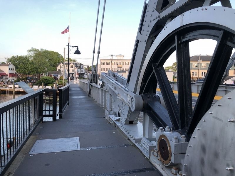
Location. 41° 21.282′ N, 71° 58.131′ W. Marker is in Groton in Southeastern Region, Connecticut. It is in Mystic. It is on Main Street (U.S. 1) near Gravel Street, on the right when traveling west. The marker is on the bridge that passes over the Mystic River. Touch for map. Marker is in this post office area: Mystic CT 06355, United States of America. Touch for directions.

Regionally, this marker is on the Connecticut Shoreline, in Greater New London, in Mystic and the Eastern Shore, and in the Thames River Valley. It is also in the American Northeast, in New England, and on the Eastern Seaboard. Globally, it is in the North Atlantic Region, North America, the Western Hemisphere, the Western World, and the Anglosphere. Historically, it finds itself in what was once New London County and also one of the original Thirteen Colonies.
Photographed by Barry Swackhamer, May 26, 2022
3. A View From the Mystic River Bridge Marker and the west bank of the Mystic River.
Other nearby markers. At least 8 other markers are within walking distance of this marker: Mystic River Bascule Bridge (here, next to this marker); At This Crossing (a few steps from this marker); Mystic Civil War Memorial (approx. ¼ mile away); Hays & Ros Clark Shiplift (approx. 0.3 miles away); Eastern-rig dragger Roann (approx. 0.3 miles away); The Hays and Ros Clark Shiplift (approx. 0.3 miles away); Sandbagger Annie (approx. 0.4 miles away); Susan Constant (approx. 0.4 miles away). Touch for a list and map of all markers in Groton.
Another marker is no longer nearby. Whaleship Charles W. Morgan (was approx. 0.3 miles away but has been replaced with another marker now near it).
Also see . . . Mystic River -- Wikipedia. "In 1844, Medford abolitionist and writer Lydia Maria Child described her journey across the Mystic to her grandfather's house in the poem "Over the River and Through the Wood." (Grandfather's House, restored by Tufts University in 1976, still stands near the river on South Street in Medford.)" (Submitted on December 4, 2024, by Barry Swackhamer of Brentwood, California.)
Photographed by Barry Swackhamer, May 26, 2022
4. A View From the Mystic River Bridge Marker and the west (Stonington) bank of the Mystic River.
Photographed by Barry Swackhamer, May 26, 2022
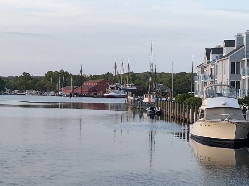
5. Looking north towards Mystic Seaport Museum.
Credits. This page was last revised on May 19, 2026. It was originally submitted on December 4, 2024, by Barry Swackhamer of Brentwood, California. This page has been viewed 140 times since then and 10 times this year. Photos: 1, 2, 3, 4, 5. submitted on December 4, 2024, by Barry Swackhamer of Brentwood, California.
