Centre in Cherokee County, Alabama — The American South (East South Central)
Turkey Town Council Site
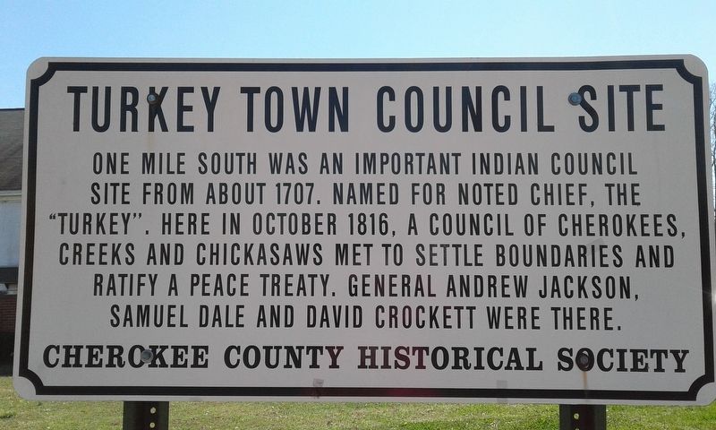
Photographed by Angela Nichols, March 14, 2018
1. Turkey Town Council Site Marker
Erected by Cherokee County Historical Society.
Topics and series. This historical marker is listed in these topic lists: Indigenous Peoples and Communities • Peace. In addition, it is included in the Former U.S. Presidents: #07 Andrew Jackson series list. A significant historical month for this entry is October 1816.
Location. Marker has been reported missing. It was located near 34° 9.078′ N, 85° 40.625′ W. Marker was in Centre, Alabama, in Cherokee County. It was at the intersection of West Main Street (Business U.S. 411) and College Street, on the left when traveling west on West Main Street. Touch for map. Marker was in this post office area: Centre AL 35960, United States of America. Touch for directions.

Regionally, this marker was in East Alabama and specifically in North Alabama. It was also in the American South, specifically
this page online
Other nearby markers. At least 8 other markers are within walking distance of this location: Orville Estes Field (within shouting distance of this marker); Cherokee County Veterans War Memorial (about 300 feet away, measured in a direct line); Cherokee County Historical Museum (about 500 feet away); Jordan Big Store (about 600 feet away); Cherokee County (about 600 feet away); Cherokee County Courthouse (about 700 feet away); Cherokee County's Beginnings (about 700 feet away); J.D. Jordan Jr. House (approx. 0.2 miles away). Touch for a list and map of all markers in Centre.
More about this marker. This marker has been temporarily removed due to construction of the new Centre City Hall.
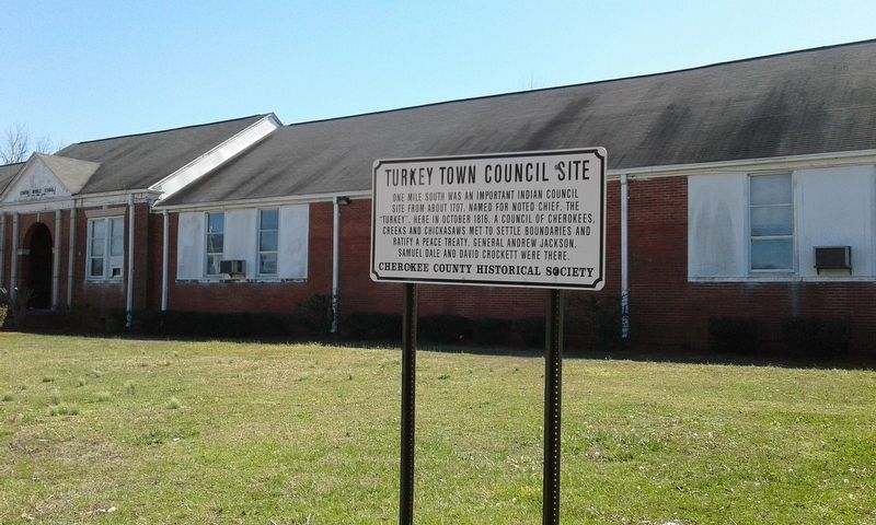
Photographed by Angela Nichols, March 14, 2018
2. Turkey Town Council Site Marker
Credits. This page was last revised on December 10, 2024. It was originally submitted on March 14, 2018, by Angela Nichols of Centre, Alabama. This page has been viewed 1,159 times since then and 74 times this year. Last updated on December 6, 2024, by Angela Nichols of Centre, Alabama. Photos: 1, 2. submitted on March 14, 2018, by Angela Nichols of Centre, Alabama. • James Hulse was the editor who published this page.
