Marmora in Hastings County, Ontario — Central Canada (North America)
In Honour of Harold Colman Rickaby
1890-1975
Photographed by Cosmos Mariner, May 31, 2024
1. In Honour of Harold Colman Rickaby Marker
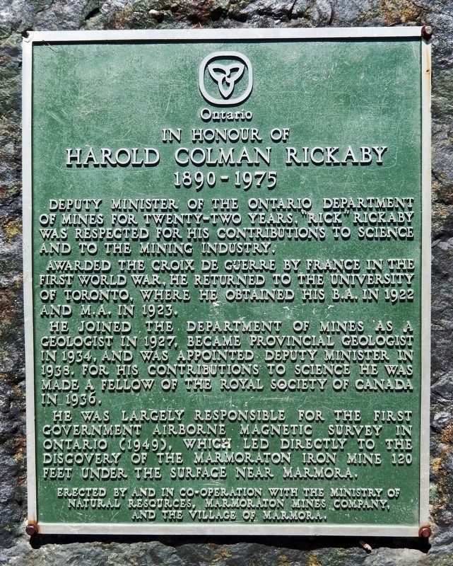
Deputy Minister of the Ontario Department of Mines for twenty-two years, “Rick” Rickaby was respected for his contributions to science and to the mining industry.
Awarded the Croix de Guerre by France in the First World War, he returned to the University of Toronto, where he obtained his B.A. in 1922 and M.A. in 1923.
He joined the department of mines as a geologist in 1927, became Provincial Geologist in 1934, and was appointed Deputy Minister in 1938. For his contributions to science he was made a fellow of the Royal Society of Canada in 1936.
He was largely responsible for the first government airborne magnetic survey in Ontario (1949), which led directly to the discovery of the Marmoraton Iron Mine 120 feet under the surface near Marmora.
Erected by Ministry of Natural Resources, Marmoraton Mines Company and The Village of Marmora.
Topics. This historical marker is listed in these topic lists: Industry & Commerce • Patriots & Patriotism • Science & Medicine • War, World I. A significant historical year for this entry is 1936.
Location. 44° 28.971′ N, 77° 41.071′ W. Marker is in Marmora, Ontario, in
this page online

Regionally, this marker is in Eastern Ontario and specifically in Southeastern Ontario. It is also in Central Canada. Globally, it is in North America, on the Great Lakes, in the Western Hemisphere, in the Western World, and in the Anglosphere. Historically, it finds itself in what was once a British colony, the Viceroyalty of New France, the Haudenosaunee (Iroquois) Confederacy, and Rupert’s Land.
Other nearby markers. At least 8 other markers are within 23 kilometers of this marker, measured as the crow flies: Railway to Cordova (here, next to this marker); Grist & Feed Mill (within shouting distance of this marker); The Pearce Company (within shouting distance of this marker); Pioneer Irontown 1821-1875 (within shouting distance
Photographed by Cosmos Mariner, May 31, 2024
2. In Honour of Harold Colman Rickaby Marker
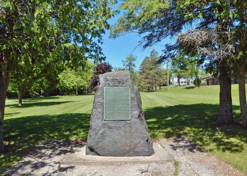
Looking north through Marmora Memorial Park.
Also see . . .
1. Road Trips in Hastings County: Marmoraton Iron Mine (YouTube).
Marmora is Upper Canada's first pioneer irontown, established in 1821. There you will find a plaque about Harold Colman Rickaby (1890-1975) who was Deputy Minister of the Ontario Department of Mines for twenty-two years.(Submitted on December 7, 2024, by Cosmos Mariner of Cape Canaveral, Florida.)
2. Harold Colman Rickaby (Find A Grave).
St Jude's Cemetery, Oakville, Halton Regional Municipality, Ontario, Canada(Submitted on December 7, 2024, by Cosmos Mariner of Cape Canaveral, Florida.)
3. The Marmoraton Mine Fast Facts.
Excerpt:
• The magnetite ore body was discovered in 1948 by a government aeromagnetic survey, and the stripping of 130 feet of limestone overburden started in 1953.(Submitted on December 7, 2024, by Cosmos Mariner of Cape Canaveral, Florida.)
• The first shipment of iron ore pellets commenced in 1955, and eventually the mine employed 300 workers and support staff.
• It was owned by Bethlehem Steel Mills of Pennsylvania and exported iron ore pellets.
• Size of the pit: 2800 feet long, 1500 feet wide covering 75 acres with a depth of 700 feet. The average grade of the circular haulage road was 10%.
• Annual production: 3.1 million tons of rock to produce 520,000 tons of pellets.
• There has been a total of 70 million tons of waste rock removed from the pit.
• A daily ore train of 30 to 35 cars took pellets south to Picton port for loading into the 25,000 ton ore boats.
• Plant closed in 1978 as the price of iron dropped, and the bed or ore was heading deeper.
Credits. This page was last revised on December 7, 2024. It was originally submitted on December 7, 2024, by Cosmos Mariner of Cape Canaveral, Florida. This page has been viewed 328 times since then and 105 times this year. Photos: 1, 2. submitted on December 7, 2024, by Cosmos Mariner of Cape Canaveral, Florida.
