Columbia in Maury County, Tennessee — The American South (East South Central)
McCain's Academy, Church and Cemetery
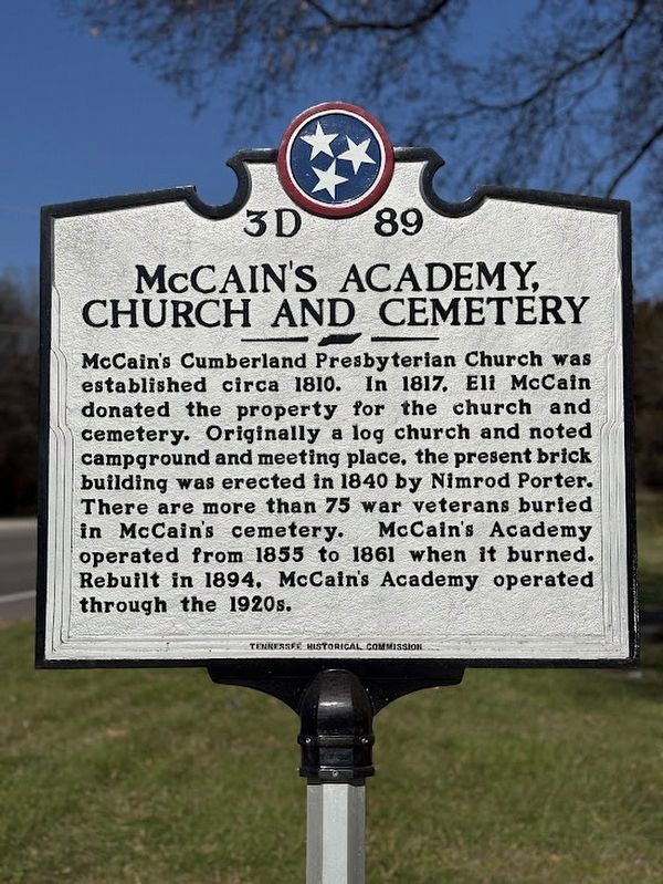
Photographed by Darren Jefferson Clay, December 7, 2024
1. McCain's Academy, Church and Cemetery marker
Erected 2024 by Tennessee Historical Commission. (Marker Number 3D 89.)
Topics. This historical marker is listed in these topic lists: Cemeteries & Burial Sites • Education • Religion & Religious Structures.
Location. 35° 31.147′ N, 87° 3.302′ W. Marker is in Columbia, Tennessee, in Maury County. It is at the intersection of Pulaski Highway and McCains Lane, on the left when traveling south on Pulaski Highway. Touch for map. Marker is at or near this postal address: 3552 Pulaski Hwy, Columbia TN 38401, United States of America. Touch for directions.

Regionally, this marker is in Middle Tennessee and in Greater
this page online
Other nearby markers. At least 8 other markers are within 5 miles of this marker, measured as the crow flies: A different marker also named McCain's Academy (about 700 feet away, measured in a direct line); McCain's Store (about 700 feet away); Ministers (about 700 feet away); War History (approx. 0.2 miles away); Advance and Retreat (approx. 3½ miles away); Joseph Brown (approx. 3.7 miles away); First County Seat Location (approx. 4.3 miles away); Culleoka Cantaloupes (approx. 4½ miles away). Touch for a list and map of all markers in Columbia.
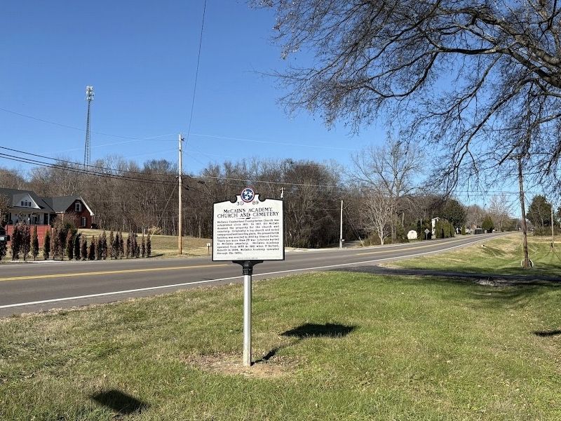
Photographed by Darren Jefferson Clay, December 7, 2024
2. McCain's Academy, Church and Cemetery marker
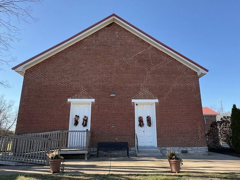
Photographed by Darren Jefferson Clay, December 7, 2024
3. The front of McCains Cumberland Presbyterian Church
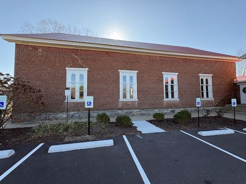
Photographed by Darren Jefferson Clay, December 7, 2024
4. The north side of Mcains Cumberland Presbyterian Church
Credits. This page was last revised on December 10, 2024. It was originally submitted on December 8, 2024, by Darren Jefferson Clay of Duluth, Georgia. This page has been viewed 227 times since then and 39 times this year. Photos: 1, 2, 3, 4. submitted on December 8, 2024, by Darren Jefferson Clay of Duluth, Georgia. • James Hulse was the editor who published this page.
