Brighton in Northumberland County, Ontario — Central Canada (North America)
Memorial Park
Photographed by William Fischer, Jr., December 5, 2024
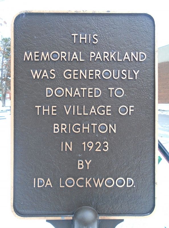
1. Memorial Park Marker
Memorial Parkland
was generously donated
to the Village of Brighton
in 1923 by
Ida Lockwood.
Erected by the Municipality of Brighton.
Topics. This historical marker is listed in these topic lists: Charity & Public Work • Parks & Recreational Areas. A significant historical year for this entry is 1923.
Location. 44° 2.518′ N, 77° 44.334′ W. Marker is in Brighton, Ontario, in Northumberland County. It is at the intersection of Main Street (Provincial Highway 2) and Veterans Way, on the right when traveling west on Main Street. Marker is in Memorial Park. Touch for map. Marker is at or near this postal address: 67 Main Street, Brighton ON K0K 1H0, Canada. Touch for directions.

Regionally, this marker is in the Kawarthas Northumberland Area and in Eastern Ontario. It is also in Central Canada. Globally, it is in North America, on the Great Lakes, in the Western Hemisphere, in the Western World, and in the Anglosphere. Historically, it finds itself in what was once a British colony, the Viceroyalty of New France, the Haudenosaunee (Iroquois) Confederacy, and Rupert’s Land.
Other nearby markers. At
this page online
Photographed by William Fischer, Jr., December 5, 2024
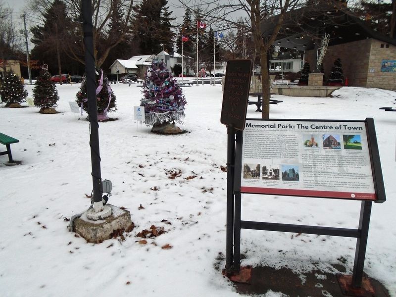
2. Memorial Park and Marker
Credits. This page was last revised on December 9, 2024. It was originally submitted on December 9, 2024, by William Fischer, Jr. of Reynoldsburg, Ohio. This page has been viewed 112 times since then and 16 times this year. Photos: 1, 2. submitted on December 9, 2024, by William Fischer, Jr. of Reynoldsburg, Ohio.
