Red Rock in Thunder Bay District, Ontario — Central Canada (North America)
Fish and Game Club
Photographed by Cosmos Mariner, June 14, 2024
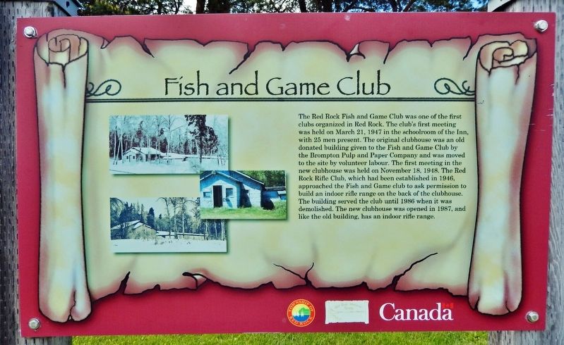
1. Fish and Game Club Marker
The Red Rock Fish and Game Club was one of the first clubs organized in Red Rock. The club's first meeting was held on March 21, 1947 in the schoolroom of the Inn, with 25 men present. The original clubhouse was an old donated building given to the Fish and Game Club by the Brompton Pulp and Paper Company and was moved to the site by volunteer labour. The first meeting in the new clubhouse was held on November 18, 1948. The Red Rock Rifle Club, which had been established in 1946, approached the Fish and Game club to ask permission to build an indoor rifle range on the back of the clubhouse. The building served the club until 1986 when it was demolished. The new clubhouse was opened in 1987, and like the old building, has an indoor rifle range.
Erected by Red Rock Historical Society.
Topics. This historical marker is listed in these topic lists: Charity & Public Work • Parks & Recreational Areas • Sports. A significant historical date for this entry is March 21, 1947.
Location. 48° 56.786′ N, 88° 15.549′ W. Marker is in Red Rock, Ontario, in Thunder Bay District. It is on Park Road just north of Provincial Highway 628,
this page online

Regionally, this marker is in Northern Ontario and specifically in Northwest Ontario. It is also in Central Canada. Globally, it is in North America, in the Great North Woods, on the Great Lakes, on Lake Superior’s North Shore, in the Western Hemisphere, in the Western World, and in the Anglosphere. Historically, it finds itself in what was once a British colony, the Viceroyalty of New France, the Haudenosaunee (Iroquois) Confederacy, and Rupert’s Land.
Other nearby markers. At least 8 other markers are within 8 kilometers of this marker, measured as the crow flies: Marina & Pul-A-Log Park (about 90 meters away, measured in a direct line); The World Famous Nipigon River (about 150 meters away); The Town of Red Rock (about 150 meters away); CNR Station (approx. 0.3 kilometers away); CPR Station (approx. 0.3 kilometers away); Clearwater Creek (approx. 6.9 kilometers away); Turbine Runner
Photographed by Cosmos Mariner, June 14, 2024
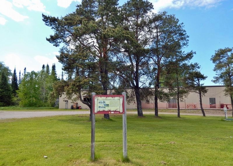
2. Fish and Game Club Marker
Looking northwest; the Fish and Game Club facility is in the background.
Credits. This page was last revised on December 10, 2024. It was originally submitted on December 10, 2024, by Cosmos Mariner of Cape Canaveral, Florida. This page has been viewed 81 times since then and 11 times this year. Photos: 1, 2. submitted on December 10, 2024, by Cosmos Mariner of Cape Canaveral, Florida.
