Oakville in Halton Region, Ontario — Central Canada (North America)
Town Drinking Fountain
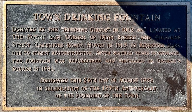
Photographed by Tim Boyd, December 11, 2024
1. Town Drinking Fountain Marker
Erected 1982.
Topics. This historical marker is listed in this topic list: Man-Made Features. A significant historical year for this entry is 1912.
Location. 43° 26.95′ N, 79° 40.155′ W. Marker is in Oakville, Ontario, in Halton Region. It is at the intersection of Trafalgar Road and Sumner Avenue, on the right when traveling north on Trafalgar Road. Touch for map. Marker is in this post office area: Oakville ON L6J 3E5, Canada. Touch for directions.

Regionally, this marker is in Greater Toronto, specifically on the Golden Horseshoe, in the Hamilton-Halton-Brant Area, and specifically in the Toronto Metropolitan Area. It is also in Central Canada. Globally, it is in North America, on the Great Lakes,
this page online
Other nearby markers. At least 8 other markers are within walking distance of this marker: An Isolated Township (here, next to this marker); Oakville and Trafalgar, 1806-1870 (here, next to this marker); The Prosperous Years (here, next to this marker); Churches Schools and Taverns (here, next to this marker); Heritage Homes of Trafalgar Road and George's Square (here, next to this marker); The Underground Railroad (here, next to this marker); Oakville Cenotaph (within shouting distance of this marker); The Lorne Scots (about 120 meters away, measured in a direct line). Touch for a list and map of all markers in Oakville.
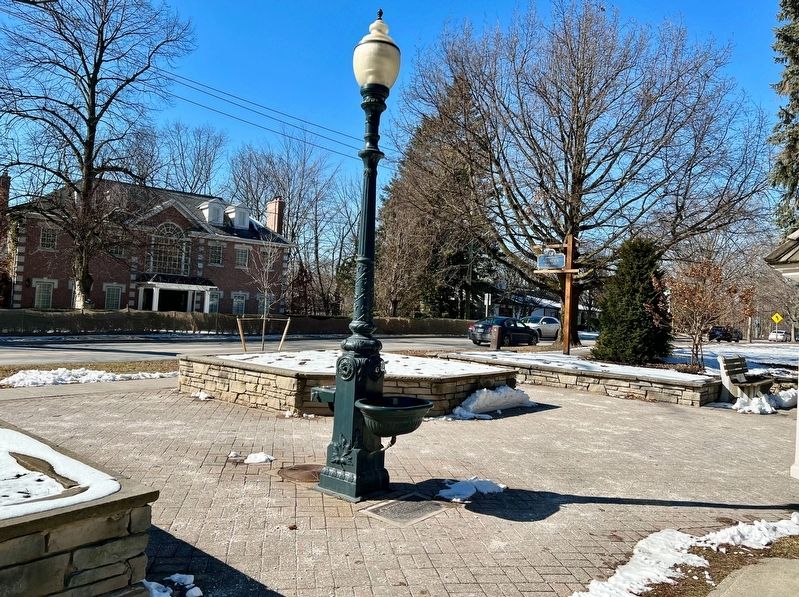
Photographed by Tim Boyd, February 20, 2024
2. Town Drinking Fountain Marker
Credits. This page was last revised on December 12, 2024. It was originally submitted on December 11, 2024, by Tim Boyd of Hamilton, Ontario. This page has been viewed 129 times since then and 21 times this year. Photos: 1, 2. submitted on December 11, 2024, by Tim Boyd of Hamilton, Ontario. • Andrew Ruppenstein was the editor who published this page.
