Malvern in Hot Spring County, Arkansas — The American South (West South Central)
Arkansas Sesquicentennial
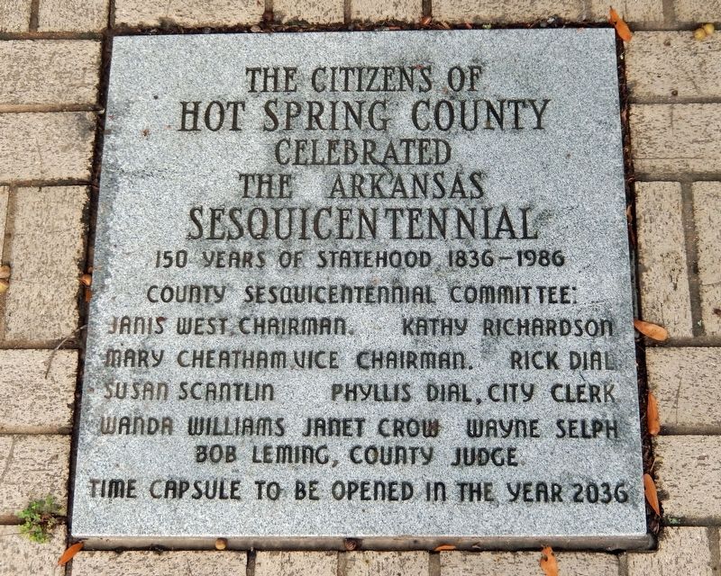
Photographed by Cosmos Mariner, September 16, 2024
1. Arkansas Sesquicentennial Marker
Hot Spring County
celebrated
the
Arkansas Sesquicentennial
150 years of statehood 1836-1986
County Sesquicentennial Committee:
Janis West, Chairman • Kathy Richardson • Mary Cheatham, Vice Chairman •
Rick Dial • Susan Scantlin • Phyllis Dial, City Clerk • Wanda Williams •
Janet Crow • Wayne Selph • Bob Leming, County Judge
Time capsule to be opened in the year 2036
Topics and series. This historical marker is listed in this topic list: Notable Events. In addition, it is included in the Time Capsules series list. A significant historical year for this entry is 1836.
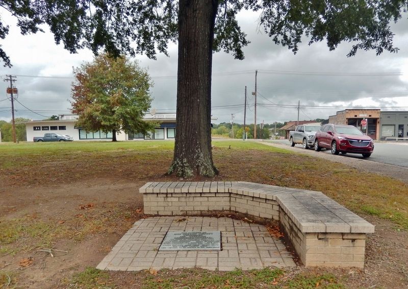
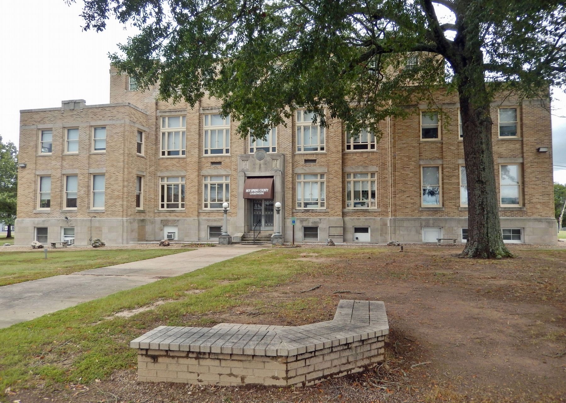
Location. 34° 21.778′ N, 92° 48.876′ W. Marker is in Malvern, Arkansas, in Hot Spring County. It is on Locust Street just south of West 2nd Street, on the right when traveling south. The marker is located near the sidewalk and front entrance walkway on the east side of the Hot Spring County Courthouse. Touch for map. Marker is at or near this postal address: 210 Locust Street, Malvern AR 72104, United States of America. Touch for directions.

Regionally, this marker is in Arkansas’ Ouachita Mountains. It is also in the American South and specifically
this page online
Other nearby markers. At least 5 other markers are within 12 miles of this marker, measured as the crow flies: War Memorial (a few steps from this marker); The Boyle House (approx. 0.2 miles away); Bridging the Ouachita River (approx. 1½ miles away); Rockport Cemetery (approx. 1½ miles away); Military Road / Settlement of Midway (approx. 11.2 miles away).
Also see . . . Sesquicentennial Celebration (Encyclopedia of Arkansas).
Excerpt: Arkansas was admitted to the Union as a state on June 15, 1836. In 1986, a series of statewide and local events were held to honor the anniversary. The Arkansas Sesquicentennial Celebration was remarkable for its long-term impact. The celebration spawned a movement to ensure that Arkansas history was included in the state educational curriculum and vastly increased the published(Submitted on December 16, 2024, by Cosmos Mariner of Cape Canaveral, Florida.)body of works on Arkansas.Photographed by Cosmos Mariner, September 16, 20242. Arkansas Sesquicentennial Marker & BenchLooking north; Locust Street is on the right. The marker and surrounding brick bench cover the Sesquicentennial Time Capsule.
Photographed by Cosmos Mariner, September 16, 2024
3. Arkansas Sesquicentennial Marker & Bench
Looking west from Locust Street; the Hot Spring County Courthouse is in the background.
Credits. This page was last revised on December 16, 2024. It was originally submitted on December 14, 2024, by Cosmos Mariner of Cape Canaveral, Florida. This page has been viewed 214 times since then and 34 times this year. Photos: 1, 2, 3. submitted on December 16, 2024, by Cosmos Mariner of Cape Canaveral, Florida.
