Southlake in Tarrant County, Texas — The American South (West South Central)
Hood Cemetery
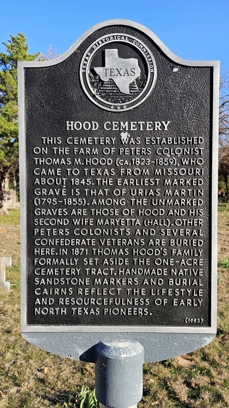
Photographed by Joe Lotz, December 14, 2024
1. Hood Cemetery Marker
Erected 1982 by Texas Historical Commission. (Marker Number 2551.)
Topics. This historical marker is listed in these topic lists: Cemeteries & Burial Sites • Settlements & Settlers.
Location. 32° 57.674′ N, 97° 9.985′ W. Marker is in Southlake, Texas, in Tarrant County. It is on North Peytonville Avenue, on the right when traveling west. Touch for map. Marker is at or near this postal address: 1711 N Peytonville Ave, Southlake TX 76092, United States of America. Touch for directions.

Regionally, this marker is in the Prairies & Lakes Region and in the Dallas-Fort Worth Metropolitan Area. It is also in the American South. Globally, it is in North America, a Gulf of Mexico state, the Western Hemisphere, the Western World, and the Anglosphere. Historically, it finds itself in what was once New Spain, the Republic of Texas, and one of the Confederate States of America.
Other nearby markers. At least 8 other markers are within 3 miles of this marker, measured as the crow flies: State Troopers H.D. Murphy and Edward Wheeler (approx. 0.9 miles away); Shockey-Huffman Homestead & Family Farm - Solana's Roots (approx. 1.3 miles away); White's Chapel Cemetery (approx. 1.7 miles away); Absalom H. Chivers Cemetery
this page online
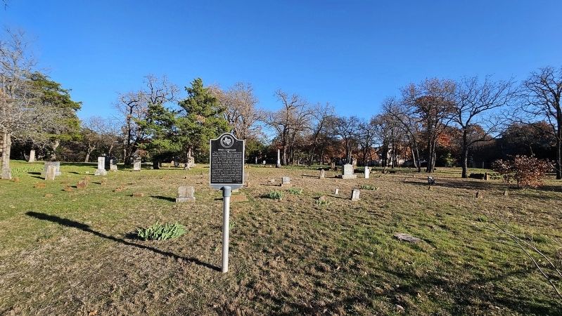
Photographed by Joe Lotz, December 14, 2024
2. Hood Cemetery
Credits. This page was last revised on December 15, 2024. It was originally submitted on December 14, 2024, by Joe Lotz of Flower Mound, Texas. This page has been viewed 225 times since then and 39 times this year. Photos: 1, 2. submitted on December 14, 2024, by Joe Lotz of Flower Mound, Texas. • James Hulse was the editor who published this page.
