
Burkeville in Nottoway County, Virginia — The American South (Mid-Atlantic)
Wilson-Kautz Raid
“Destroy both those roads”
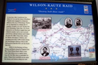
Photographed by Bernard Fisher, May 10, 2009
1. Wilson-Kautz Raid CWT Marker
Follow in the footsteps of Gens. Wilson and Kautz along the Virginia Civil War Trails Wilson-Kautz Raid, a tour route that allows you to explore more than 40 Civil War sites in southside Virginia. Please drive carefully as you enjoy the beauty and history along our trail.
Erected by Virginia Civil War Trails.
Topics and series. This historical marker is listed in this topic list: War, US Civil. In addition, it is included in the Former U.S. Presidents: #18 Ulysses S. Grant, and the Virginia Civil War Trails series lists. A significant historical month for this entry is June 1864.
Location. 37° 11.353′ N,
this page online

Regionally, this marker is in Virginia’s Piedmont, in Southside Virginia, and specifically in Central Virginia. It is also in the American South and specifically in the Upper South. Globally, it is in North America, the Western Hemisphere, the Western World, and the Anglosphere. Historically, it finds itself in what was once the territory of the Mississippian Culture, one of the original Thirteen Colonies, one of the Confederate States of America, and the Antebellum South.
Other nearby markers. At least 8 other markers are within 3 miles of this location, measured as the crow flies: Burkeville Junction (here, next to this marker); a different marker also named Burkeville Junction (here, next to this marker); Burkeville (within shouting
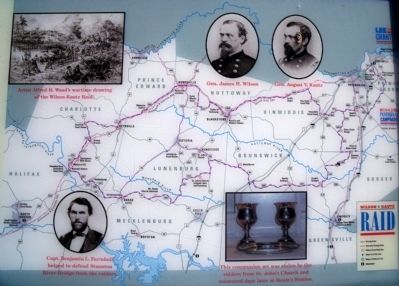
Photographed by Bernard Fisher, May 10, 2009
2. Wilson-Kautz Raid Map
Another marker is no longer nearby. Ingleside Training Institute (was approx. 0.7 miles away but has been replaced with another marker now near it).
More about this marker. On the right is a map of the Wilson-Kautz Raid route with several insets: "Artist Alfred R. Waud's wartime drawing of the Wilson-Kautz Raid."; photos of "Gen. James H. Wilson" and "Gen. August V. Kautz"; a photo with the caption, "Capt. Benjamin L. Farinholt helped to defend Staunton River Bridge from the raiders."; and a photo with the caption, "This communion set was stolen by the raiders from St. John's Church and recovered days later at Ream's Station."
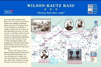
3. Wilson-Kautz Raid Marker PDF
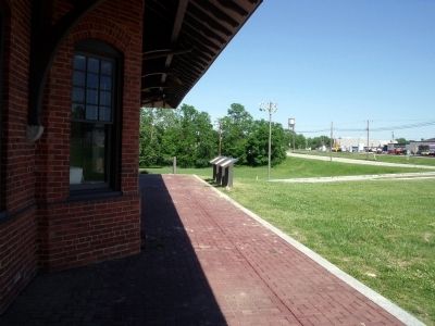
Photographed by Bernard Fisher, May 10, 2009
4. Burkeville CWT Markers
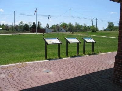
Photographed by Craig Swain, April 18, 2010
5. Markers at Burkeville Depot
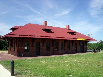
Photographed by Bernard Fisher, May 10, 2009
6. Burkeville Depot
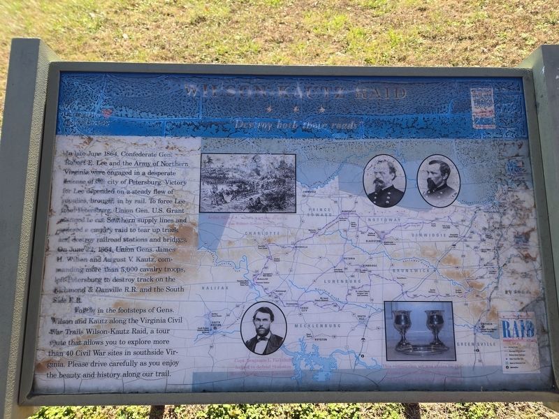
Photographed by Mark Parker, December 12, 2024
7. Wilson-Kautz Raid Marker. Damaged from exposure
Credits. This page was last revised on December 16, 2024. It was originally submitted on May 11, 2009, by Bernard Fisher of Richmond, Virginia. This page has been viewed 2,056 times since then and 86 times this year. Last updated on December 15, 2024, by Mark Parker of Hickory, North Carolina. Photos: 1, 2. submitted on May 11, 2009, by Bernard Fisher of Richmond, Virginia. 3. submitted on May 18, 2009, by Bernard Fisher of Richmond, Virginia. 4. submitted on May 11, 2009, by Bernard Fisher of Richmond, Virginia. 5. submitted on April 28, 2010, by Craig Swain of Leesburg, Virginia. 6. submitted on May 11, 2009, by Bernard Fisher of Richmond, Virginia. 7. submitted on December 15, 2024, by Mark Parker of Hickory, North Carolina.
