Danville, Virginia — The American South (Mid-Atlantic)
Neathery Lane
Photographed by C. Ryan Dodson, November 23, 2024
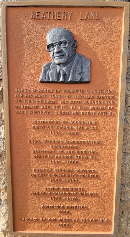
1. Neathery Lane Marker
Named in honor of Kenneth L. Neathery
for his many years of devoted service
to this College. His deep concern for
students and belief in the worth of
each individual guided his every action.
Instructor of Accounting
Danville Branch, VPI & SU
1954 - 1956
Head, Business Administration
Department
Assistant To The Director
Danville Branch, VPI & SU
1956 - 1968
Dean Of Student Services
Danville Community College
1968 - 1980
Acting President
Danville Community College
1977 - 1978
Professor Emeritus
1982
Erected By The Board Of The College
1984
Erected 1984 by Danville Community College Board of Trustees.
Topics. This historical marker is listed in these topic lists: Education • Roads & Vehicles • War, World II. A significant historical year for this entry is 1977.
Location. 36° 33.965′ N, 79° 24.398′ W. Marker is in Danville, Virginia. It is on Neathery Lane, on the right when traveling south. The Marker is located on the campus of Danville Community College along Neathery Lane between the Hill Building and the Carrington Child Development Center. Touch for map. Marker is at or near this postal address: 213 Kemper Road, Danville VA 24541, United States of America. Touch for directions.

Regionally, this marker is in Southside Virginia and specifically in Central Virginia. It is also in the American South and specifically in the Upper South. Globally, it is in North America, the Western Hemisphere, the Western World, and the Anglosphere. Historically, it finds itself in what was once the territory of the Mississippian Culture, one of the original Thirteen Colonies, one of the Confederate States of America, and the Antebellum South.
Other nearby markers. At least 8 other markers are within walking distance of this marker:
this page online
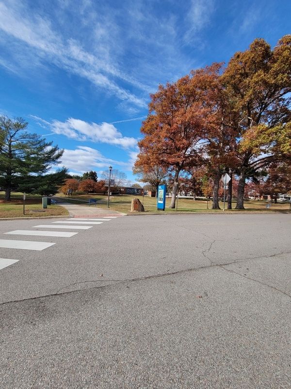
Regarding Neathery Lane. Neathery Lane is the sole road that crosses the Danville Community College campus, and divides the campus into two roughly equal halves.
Kenneth Neathery was wounded in action during World War II at the Battle of Anzio, taught clases at Averett University, and also served on the board of directors of the Virginia Museum of Fine Arts.
Kenneth L. Neathery remained a Professor emeritus here until his death on June 28, 1987, three years after the dedication of the Marker.
Photographed by C. Ryan Dodson, November 23, 2024
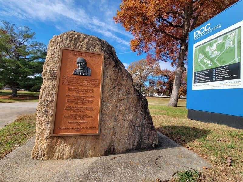
2. Neathery Lane Marker
Photographed by C. Ryan Dodson, November 23, 2024
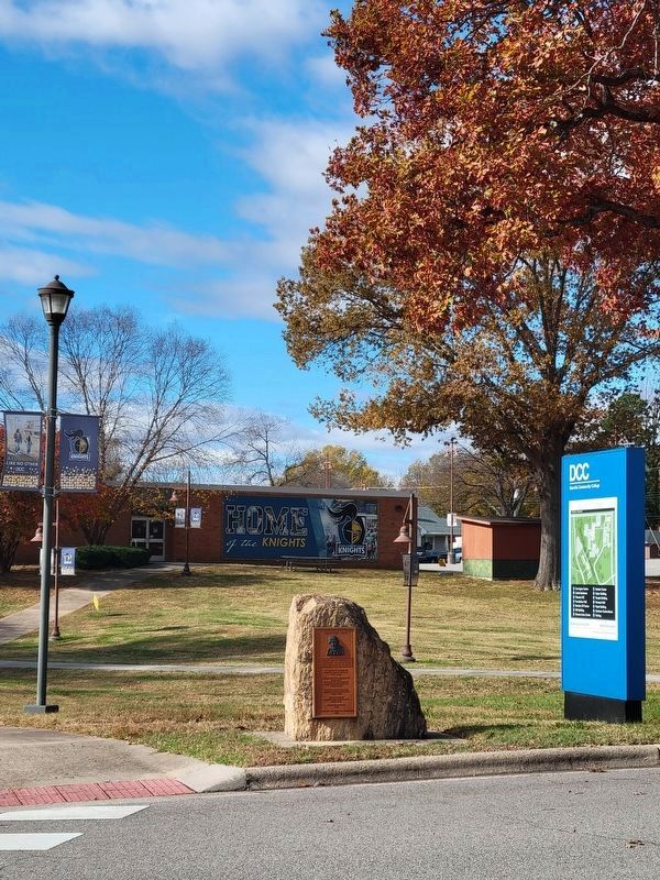
3. Neathery Lane Marker and the Hill Building
Photographed by C. Ryan Dodson, November 23, 2024
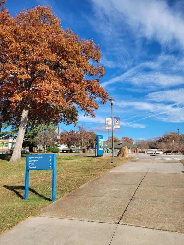
4. Neathery Lane Marker from behind
Photographed by C. Ryan Dodson, November 23, 2024
5. Neathery Lane
Neathery Lane runs diagonally across Danville Community College's roughly square-shaped campus, making it the main travel way for vehicle traffic.
Photographed by C. Ryan Dodson, November 23, 2024
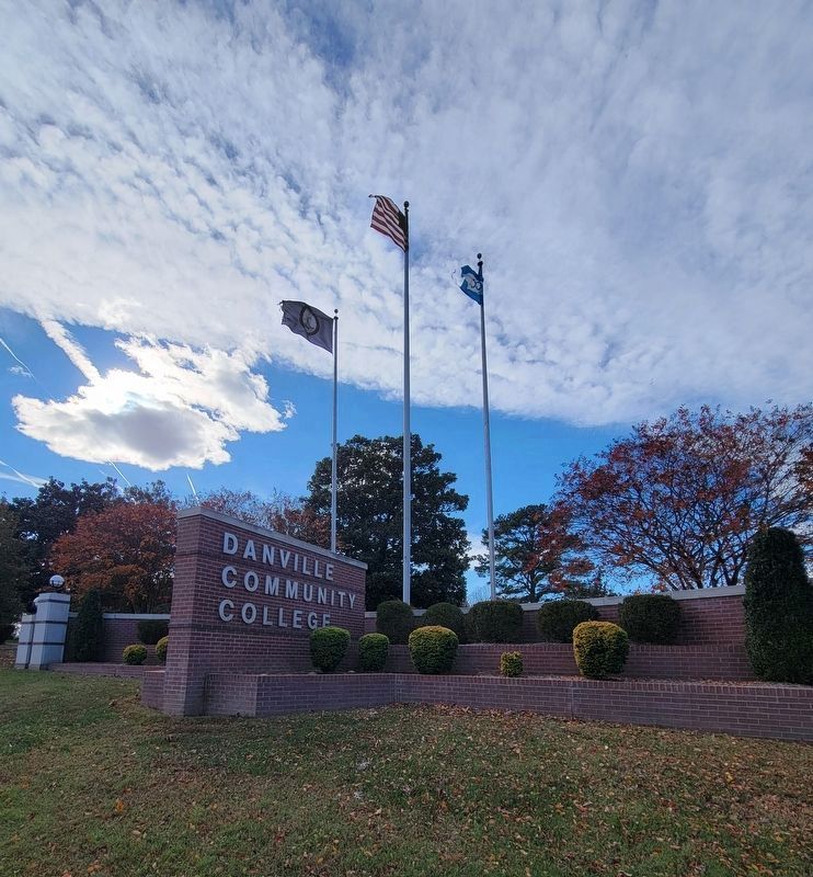
6. Danville Community College
Kenneth L. Neathery was an educator for 33 years at DCC and its predecessor, the Danville branch of Virginia Polytechnic Institute and State University (Virginia Tech). Before VPI & SU was located on the present DCC campus, the same site was originally the location of Danville Military Institute beginning in 1890.
Credits. This page was last revised on February 8, 2025. It was originally submitted on December 19, 2024, by C. Ryan Dodson of Danville, Virginia. This page has been viewed 137 times since then and 25 times this year. Photos: 1. submitted on December 19, 2024, by C. Ryan Dodson of Danville, Virginia. 2, 3, 4, 5, 6. submitted on December 20, 2024, by C. Ryan Dodson of Danville, Virginia. • J. J. Prats was the editor who published this page.
