Vught, North Brabant, Netherlands — Northwestern Europe
Waterput
⎯⎯⎯
Water Well
Photographed by Andrew Ruppenstein, July 12, 2024
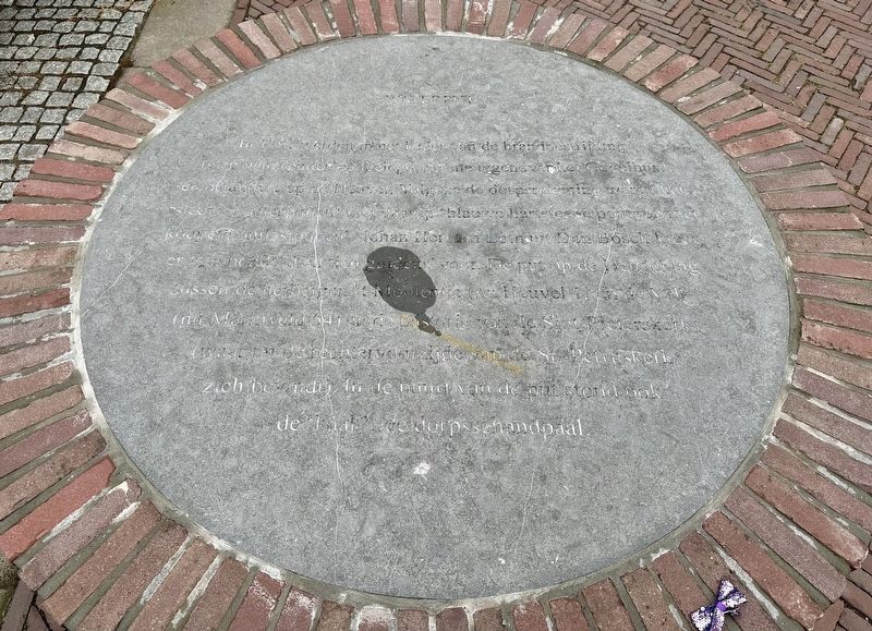
1. Waterput / Water Well Marker

In 1791, two wells were constructed for the purpose of fire fighting, one opposite the Gogel house and the other here on the Heuvel. According to the village accounts, they were 'stone wells' with 'blue stone pumps with copper relief pipes'. Johan Herman Loth from Den Bosch received 'six hundred and ten guilders' for them. The well on the Heuvel was located between the inns 't Moolentje (now Heuvel 1) and de Valk (now Marktveld 54) and the rectory of the St. Peter's parish
this page online
Topics. This historical marker is listed in this topic list: Man-Made Features. A significant historical year for this entry is 1791.
Location. 51° 39.504′ N, 5° 17.912′ E. Marker is in Vught, Noord-Brabant (North Brabant). It is at the intersection of Marktveld and Heuvel on Marktveld. Touch for map. Marker is at or near this postal address: Marktveld 54, Vught, Noord-Brabant 5261 EE, Netherlands. Touch for directions.

Regionally, it is in Europe, the European Union, Atlantic Europe, the Benelux Low Countries, the Schengen Area, Western Europe, and the Western World. Historically, it finds itself in what was once the Roman Empire and specifically also the Holy Roman Empire.
Other nearby markers. At least 4 other markers are within walking distance of this marker: De Petrus (within shouting distance of this marker); Vught Dutch East Indies Memorial (approx. 0.3 kilometers away); Vught Deported Political Prisoners Memorial (1943 - 1944) (approx. half a kilometer away); Vught Deported Jews Memorial
Photographed by Andrew Ruppenstein, October 31, 2024
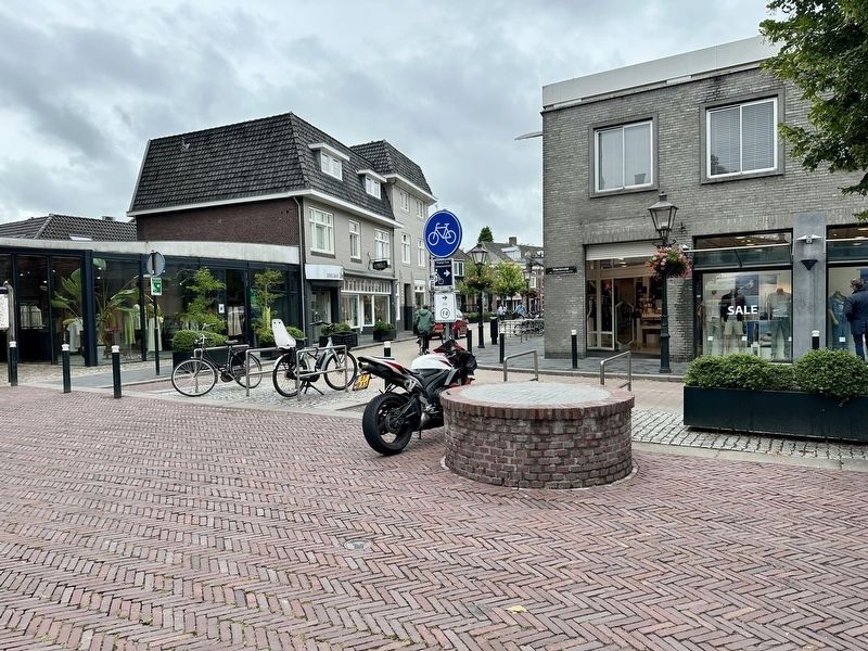
2. Waterput / Water Well Marker - wide view
Credits. This page was last revised on December 20, 2024. It was originally submitted on December 20, 2024, by Andrew Ruppenstein of Lamorinda, California. This page has been viewed 89 times since then and 7 times this year. Photos: 1, 2. submitted on December 20, 2024, by Andrew Ruppenstein of Lamorinda, California.
