Fayetteville in Lincoln County, Tennessee — The American South (East South Central)
Old Stone Bridge

Photographed by Darren Jefferson Clay, December 14, 2024
1. Old Stone Bridge marker
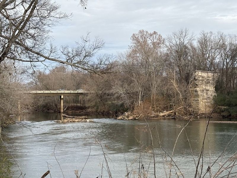
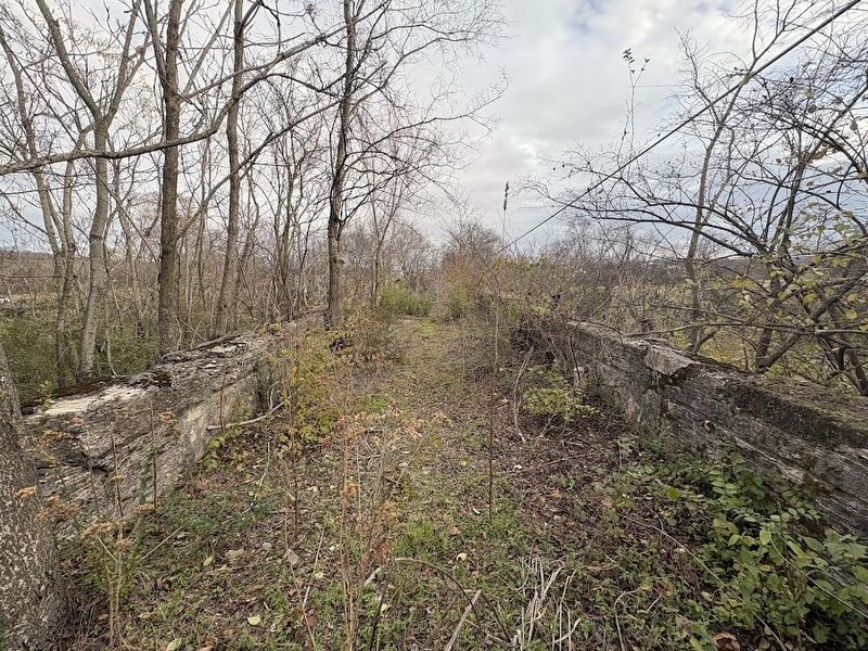
After crossing the bridge in the fall of 1863, General William T. Sherman ordered its destruction. Inspired by its beauty, Major Byrd disobeyed the order, telling Sherman the Old Stone Bridge was of no military advantage to the Confederates. On February 2, 1969, after several days of heavy rain, the 108-year-old bridge collapsed and fell into the river.
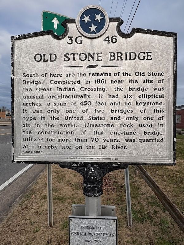
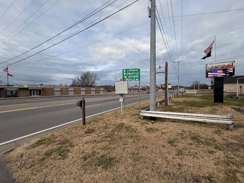
South of here are the remains of the Old Stone Bridge. Completed in 1861 near the site of the Great Indian Crossing, the bridge was unusual architecturally. It had six elliptical arches, a span of 450 feet and no keystone. It was only one of two bridges of this type in the United States and only one of six in the world. Limestone rock used in the construction of this one-lane bridge, utilized for more than 70 years, was quarried at a nearby site on the Elk River.
Erected by Tennessee Historical Commission. (Marker Number 3G 46.)
Topics. This historical marker is listed in these topic lists: Architecture • Bridges & Viaducts • War, US Civil.
Location. 35° 8.542′ N, 86° 34.252′ W. Marker is in Fayetteville,
this page online

Regionally, this marker is in Middle Tennessee and in the Highland Rim. It is also in the American South and specifically in the Upper South. Globally, it is in North America, the Western Hemisphere, the Western World, and the Anglosphere. Historically, it finds itself in what was once the territory of the Mississippian Culture, one of the Confederate States of America, and the Antebellum South.
Other nearby markers. At least 8 other markers are within walking distance of this marker: Stone Arch Bridge (about 400 feet away, measured in a direct line); Camp Blount (approx. 0.2 miles away); Trail of Tears Bell Removal Route (approx. 0.2 miles away); Fayetteville Calaboose Door (approx. 0.2 miles away); Fayetteville Stone Bridge (approx. 0.2 miles away); Fayetteville Stone Bridge (Scale Replica) (approx. 0.2 miles away); Cascade (approx. ¼ mile away);
Photographed by Darren Jefferson Clay, December 14, 2024
2. Old Stone Bridge marker
Photographed by Darren Jefferson Clay, December 14, 2024
3. Old Stone Bridge marker
Photographed by Darren Jefferson Clay, December 14, 2024
4. Old Stone Bridge remnants

Photographed by Darren Jefferson Clay, December 14, 2024
5. Old Stone Bridge remnant
Photographed by Darren Jefferson Clay, December 14, 2024
6. The view from the top of the Old Stone Bridge
Credits. This page was last revised on December 21, 2024. It was originally submitted on December 20, 2024, by Darren Jefferson Clay of Duluth, Georgia. This page has been viewed 832 times since then and 158 times this year. Photos: 1, 2, 3, 4, 5, 6. submitted on December 20, 2024, by Darren Jefferson Clay of Duluth, Georgia. • Bernard Fisher was the editor who published this page.
