Harrisonburg, Virginia — The American South (Mid-Atlantic)
End of the Shenandoah Valley Campaign
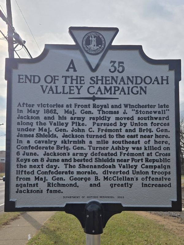
Photographed by Mark Parker, December 19, 2024
1. End of the Shenandoah Valley Campaign Marker
Erected 2023 by Department of Historic Resources. (Marker Number A-35.)
Topics. This historical marker is listed in this topic list: War, US Civil. A significant historical month for this entry is May 1862.
Location. 38° 25.754′ N, 78° 53.123′ W. Marker is in Harrisonburg, Virginia. It is on South Main Street (U.S. 11) 0.1 miles south of Miller Circle, on the right when traveling south. Touch for map. Marker is at or near this postal address: 1597
this page online

Regionally, this marker is in Virginia’s Shenandoah Valley. It is also in the American South and specifically in the Upper South. Globally, it is in North America, the Western Hemisphere, the Western World, and the Anglosphere. Historically, it finds itself in what was once the territory of the Mississippian Culture, one of the original Thirteen Colonies, one of the Confederate States of America, and the Antebellum South.
Other nearby markers. At least 8 other markers are within one mile of this marker, measured as the crow flies: Where Ashby Fell (approx. half a mile away); James Madison University (approx. half a mile away); General Turner Ashby of Fauquier (approx. half a mile away); The George Earman House (approx. 0.7 miles away); Beta Gamma Sigma (approx. 0.8 miles away); James Madison (approx. 0.8 miles away); a different marker also named James Madison University (approx. 0.9 miles away); The Cannon (approx. 1.1 miles away). Touch for a list and map of all markers in Harrisonburg.
Another marker is no longer nearby. End of the Campaign

Photographed by Mark Parker, December 19, 2024
2. End of the Shenandoah Valley Campaign Marker looking north along S. Main St.
Related marker. Click here for another marker that is related to this marker. Old Marker At This Location titled "End of the Campaign."
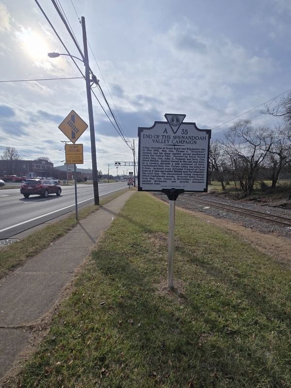
Photographed by Mark Parker, December 19, 2024
3. End of the Shenandoah Valley Campaign Marker looking south along S. Main St.
Credits. This page was last revised on December 26, 2024. It was originally submitted on December 24, 2024, by Mark Parker of Hickory, North Carolina. This page has been viewed 345 times since then and 45 times this year. Photos: 1, 2, 3. submitted on December 24, 2024, by Mark Parker of Hickory, North Carolina. • Bernard Fisher was the editor who published this page.
