Newtown Township in Bucks County, Pennsylvania — The American Northeast (Mid-Atlantic)
Twining Farm
| — | Newtown Heritage Walk | — |

Photographed by Pete Skillman, December 23, 2024
1. Twining Farm Marker
Between 1896 and 1702, Stephen Twining purchased 690 acres of land in the area including the entire original Rowland tract. Stephen Twining was a leader of the Friends community in Newtown. David Twining was another notable member of this family who also owned property in Newtown in the middle of the 18th century and was an important figure in Newtown history. He served two terms in the State Legislature, the Newtown Library Company was housed in his home, he was one of the largest land owners in the area and on his property he built an early tannery and one of the first grist mills. In addition, David and his wife raised the painter, Edward Hicks, after his mother died.
The original Twining homestead was probably built on the Stephen Twining
this page online
Site Sponsor: The Corners at Newtown Place - Managed by The Quaker Group
Design & layout donated by Mike DiFiori, www.BuzzGraphicDesign.com, Newtown, PA.
[Captions]:
The Residence of David Twining by Edward Hicks, 1845-1847, located off Barclay Street depicting David and Elizabeth Twining and a young Hicks (lower right) Courtesy, Abby Aldrich Rockefeller Folk Art Museum, Colonial Williamsburg Foundation.
View of the Lownes Farm circa 1950.
Erected 2007
Photographed by Pete Skillman, December 23, 2024
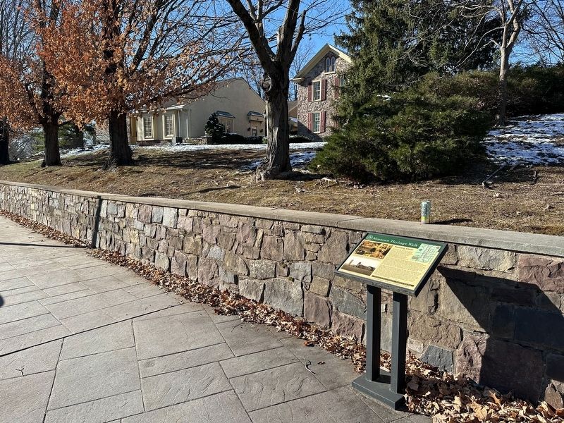
2. Twining Farm Marker - wide view with house
Topics and series. This historical marker is listed in these topic lists: Agriculture • Architecture • Industry & Commerce • Settlements & Settlers. In addition, it is included in the Pennsylvania, Newtown Heritage Walk series list. A significant historical year for this entry is 1695.
Location. 40° 13.629′ N, 74° 56.339′ W. Marker is in Newtown, Pennsylvania, in Bucks County. It is in Newtown Township. It is on South Sycamore Street south of Richboro Road, on the right when traveling south. Touch for map. Marker is at or near this postal address: 125 S Sycamore St, Newtown PA 18940, United States of America. Touch for directions.

Regionally, this marker is in Southeast Pennsylvania and in Greater Philadelphia. It is also in the American Northeast and in the Mid-Atlantic. Globally, it is in North America, the Western Hemisphere, the Western World, and the Anglosphere. Historically, it finds itself in what was once the Haudenosaunee (Iroquois) Confederacy, New Netherland, and one of the original Thirteen Colonies.
Other nearby markers. At least 8 other markers are within walking distance of this marker: McMasters House (about 300 feet away, measured in a direct line); Newtown Creek Bridge (about 400 feet away); The Life of Saint Andrew (about 600 feet away); Olde Church of Saint Andrew (about 600 feet away); White Hall (about 600 feet away); Bird in Hand (about 600 feet away); Loyalist Raid of 1778 (about 600 feet away); February 9, 1778 (about 600 feet away). Touch for a list and map of all markers in Newtown.
Credits. This page was last revised on July 19, 2025. It was originally submitted on December 24, 2024, by Pete Skillman of Wilmington, Delaware. This page has been viewed 607 times since then and 141 times this year. Photos: 1, 2. submitted on December 24, 2024, by Pete Skillman of Wilmington, Delaware.
