Newtown Township in Bucks County, Pennsylvania — The American Northeast (Mid-Atlantic)
Durham Road Toll House
| — | Newtown Heritage Walk | — |
Photographed by Pete Skillman, December 23, 2024
1. Durham Road Toll House Marker
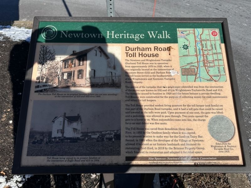
The section of the turnpike that this gatekeeper controlled was from the intersection of the routes now known as 532 and 413 to Wrightstown-Taylorsville Road and 413. The turnpike ceased to function in 1920 and the house became a private dwelling. Toll Houses were constructed for the purpose of collecting money for road maintenance and salary for toll keepers.
The Toll House provided modest living quarters for the toll keeper (and family) on this part of the Durham Road turnpike, and it had a toll gate that could be raised and lowered as the tolls were paid. Upon payment of one cent, the gate was lifted and a pedestrian was allowed to pass through. Two cents opened the gate to a horse or ox. When automobiles came into use, the charge for a car and driver was five cents.
The Toll House was saved from demolition three
this page online
Site Sponsor: Newtown Joint Historic Commission
[Captions]:
The Durham Toll House on its original location (where you are now standing) at the intersection of 413 and 532 circa 1900.
Toll House being moved to its present location at the intersection of Eagle Road and 413 in 1954.
Token from the Wrightstown & Newtown Turnpike Road Co., circa 1915.
Erected 2018 by Newtown Historic Association. (Marker Number 19b.)
Topics and series. This historical marker is listed in these topic lists: Industry & Commerce • Roads & Vehicles. In addition, it is included in the Pennsylvania, Newtown Heritage Walk series list. A significant historical year for this entry is 1870.
Location. 40° 14.165′ N, 74° 56.475′ W. Marker is in Newtown, Pennsylvania, in Bucks County.
Photographed by Pete Skillman, December 23, 2024
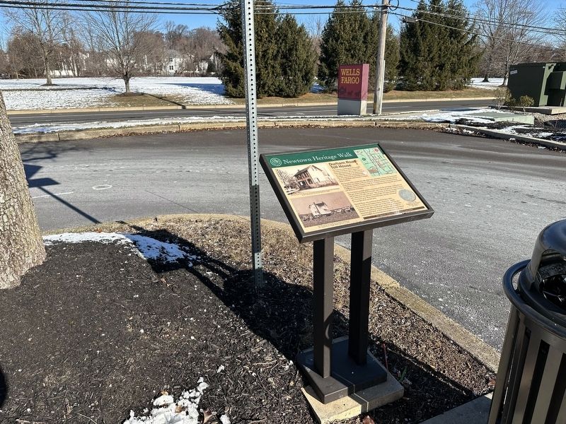
2. Durham Road Toll House Marker - wide view

Regionally, this marker is in Southeast Pennsylvania and in Greater Philadelphia. It is also in the American Northeast and in the Mid-Atlantic. Globally, it is in North America, the Western Hemisphere, the Western World, and the Anglosphere. Historically, it finds itself in what was once the Haudenosaunee (Iroquois) Confederacy, New Netherland, and one of the original Thirteen Colonies.
Other nearby markers. At least 8 other markers are within walking distance of this marker: A different marker also named Durham Road Toll House (approx. 0.2 miles away); Goodnoe Farm & Dairy Bar (approx. 0.2 miles away); Boyd-Yardley House (approx. ¼ mile away); Brooks House (approx. ¼ mile away); The Saloon (approx. 0.3 miles away); Randall Double House (approx. 0.3 miles away); William Penn's New Town (approx. 0.3 miles away); Macedonia Baptist Church (approx. 0.3 miles away). Touch for a list and map of all markers in Newtown.
Photographed by Pete Skillman, December 23, 2024
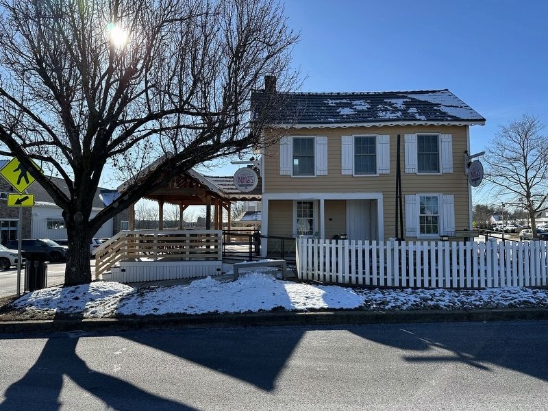
3. Durham Road Toll House Marker - Toll House in its current location
Credits. This page was last revised on December 24, 2024. It was originally submitted on December 24, 2024, by Pete Skillman of Wilmington, Delaware. This page has been viewed 408 times since then and 80 times this year. Photos: 1, 2. submitted on December 24, 2024, by Pete Skillman of Wilmington, Delaware. 3. submitted on December 23, 2024, by Pete Skillman of Wilmington, Delaware.
