Hillsborough in Hillsborough County, New Hampshire — The American Northeast (New England)
Colonial Grant
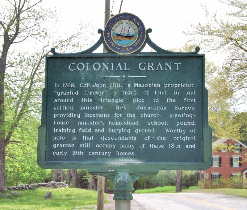
Photographed by Marc Belanger, May 21, 2016
1. Colonial Grant Marker
In 1769, Col. John Hill, a Masonian proprietor. "granted forever" a tract of land in and around this triangle plot to the first settled minister, Rev. Johnathan Barnes, providing locations for the church, meetinghouse, minister's homestead, school, pound, training field and burying ground. Worthy of note is that descendants of the original grantee still occupy many of these 18th and early 19th century homes.
Topics. This historical marker is listed in these topic lists: Colonial Era • Settlements & Settlers. A significant historical year for this entry is 1769.
Location. 43° 8.806′ N, 71° 56.143′ W. Marker is in Hillsborough, New Hampshire, in Hillsborough County. It is on East Washington Road north of Center Road, on the right when traveling north. Touch for map. Marker is at or near this postal address: 27 East Washington Road, Hillsborough NH 03244, United States of America. Touch for directions.

Regionally, this marker is in Greater Manchester. It is also in the American Northeast and in New England. Globally, it is in North America, the Western Hemisphere, the Western World, and the Anglosphere. Historically,
this page online
Other nearby markers. At least 8 other markers are within 6 miles of this marker, measured as the crow flies: Birthplace of Franklin Pierce (approx. 2.2 miles away); Pierce Homestead (approx. 2.2 miles away); Stone Arch Bridges (approx. 2.6 miles away); Memorial Day Order (approx. 2.9 miles away); Hillsborough War Memorial (approx. 2.9 miles away); War Memorial (approx. 3 miles away); Butler Park (approx. 3 miles away); New England College Covered Bridge (approx. 6 miles away). Touch for a list and map of all markers in Hillsborough.
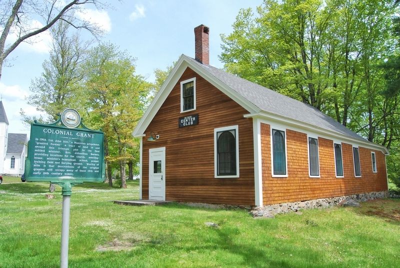
Photographed by Marc Belanger, May 21, 2016
2. Colonial Grant Marker
Credits. This page was last revised on December 30, 2024. It was originally submitted on December 25, 2024, by Marc Belanger of Reno, Nevada. This page has been viewed 186 times since then and 23 times this year. Photos: 1, 2. submitted on December 25, 2024, by Marc Belanger of Reno, Nevada. • Michael Herrick was the editor who published this page.
