
North Valleys in Reno in Washoe County, Nevada — The American Mountains (Southwest)
Beckwourth Trail - Golden Valley
⎯⎯⎯
Three Flags Highway
Photographed by Marc Belanger, December 23, 2024
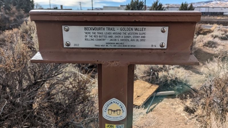
1. Beckwourth Trail - Golden Valley side of marker
Beckwourth Trail - Golden Valley
"Here the trail leads around the western slope of the red buttes and... over a sandy, stony and rolling country". - Jacob S. Hayden, Aug 18, 1852
Guidebook Available
Trails West Inc. P.O. Box 12045 Reno NV 89510
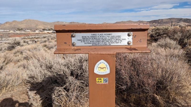
Three Flags Highway
Behind you: Remnants of Nevada's first paved highway. Constructed between 1919 and 1923, it connected with Canada and Mexico. First Federal funding subsidy to improve travel in the USA. Nevada segment went from Topaz Lake to the California border west of here. The route today is designated as Highway 395.
Erected 2012 by Trails West, Inc. (Marker Number B-4.)
Topics and series. This historical marker is listed in these topic lists: Roads & Vehicles • Settlements & Settlers. In addition, it is included in the Beckwourth Trail, and the California Trail series lists. A significant historical date for this entry is August 18, 1852.
Location. 39° 36.453′ N, 119° 50.668′ W. Marker is in Reno, Nevada, in Washoe County. It is in North Valleys. It is on North Hills Boulevard. This marker is located near the parking lot of Rivas Mexican Grill. Touch for map.
this page online

Regionally, this marker is in the Sierra Nevada and in the Lake Tahoe Basin. It is also in the American Mountain West. Globally, it is in North America, the Western Hemisphere, the Western World, and the Anglosphere. Historically, it finds itself in what was once New Spain and also Mexico’s Alta California.
Other nearby markers. At least 8 other markers are within 6 miles of this marker, measured as the crow flies: Historic Transportation From Honey Lake To Virginia City (approx. 4 miles away); Beckwourth Trail - Peavine Springs (approx. 4 miles away); Morrill Hall, 1887 (approx. 5.1 miles away); Grand Army of the Republic Cemetery (approx. 5.1 miles away); Hillside Cemetery Potter's Field (approx. 5.1 miles away); Grand Army of the Republic Memorial Tree (approx. 5.2 miles away); N.C.O. Railroad Depot (approx. 5.6 miles away); Salvation Army (approx. 5.7 miles away). Touch for a list and map of all markers in Reno.
Another marker is no longer nearby. Peavine Mining District (was approx. 3.6
Photographed by Marc Belanger, December 23, 2024
2. Three Flags Highway side of marker
Photographed by Marc Belanger, December 23, 2024
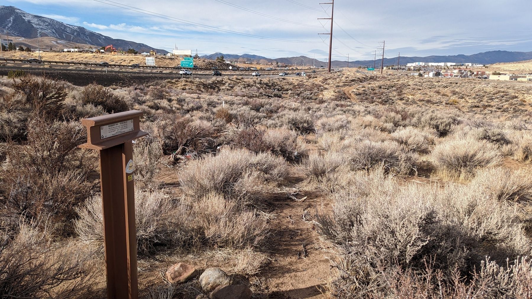
3. Beckwourth Trail - Golden Valley / Three Flags Highway Marker
Credits. This page was last revised on December 26, 2024. It was originally submitted on December 25, 2024, by Marc Belanger of Reno, Nevada. This page has been viewed 263 times since then and 35 times this year. Photos: 1, 2, 3. submitted on December 25, 2024, by Marc Belanger of Reno, Nevada. • Andrew Ruppenstein was the editor who published this page.
