Locust Grove in Henry County, Georgia — The American South (South Atlantic)
Locust Grove
The Federal “Right Wing” Advances
| — | Georgia Civil War Heritage Trails | — |
Photographed by Duane and Tracy Marsteller, November 20, 2021
1. Locust Grove Marker
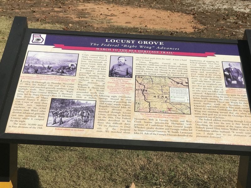
The nearly 16,000 men in four divisions of the 15th Corps, commanded by Major General Peter J. Osterhaus, moved south from McDonough to Locust Grove. Here the 15th Corps divided. Brigadier General John E. Smith's division proceeded to Jackson before spending the night five miles further southeast at Flovilla. The divisions of Brigadier Generals William B. Hazen and Charles R. Woods proceeded south then east, camping the following night (November 18th) at Indian Springs. Slowed by their assignment of guarding the 15th Corps' supply wagons, Brigadier General John M. Corse's division also marched through Locust Grove, arriving in Jackson
this page online
Union Brigadier General H. Judson Kilpatrick's 5,000-man cavalry division rode south along the Macon & Western Railroad (running between Atlanta and Macon) to the north and west of Locust Grove. Pausing at times to destroy tracks, the Federal troopers also skirmished on November 16th at Lovejoy Station and Bear Creek Station (present-day Hampton) with portions of Confederate Major General Joseph Wheeler's cavalry division and Georgia militia led by Major General Gustavus W. Smith. Lieutenant John H. Ash of the Georgia Huzzars described the hopelessness of stopping the Federal advance, “Near Bear Creek Station met and encountered the overwhelming numbers of Sherman's advance, killing and wounding a great many of the enemy, but we were unable to check them, as our Reg[iment] could only muster 48 guns. We were so completely run over that we were scattered in every direction, those of us who were not killed and captured.” Kilpatrick's
Photographed by Mark Parker, December 27, 2024
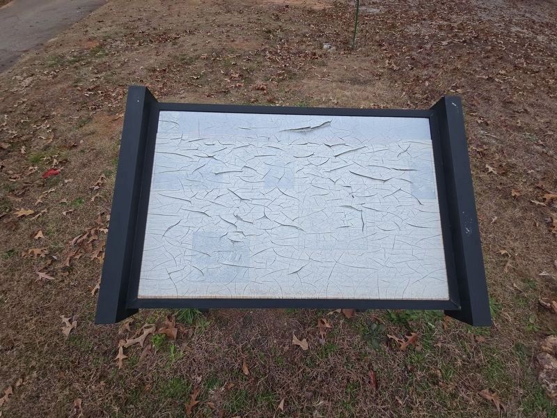
2. Locust Grove Marker damage
The Federal soldiers marching through Locust Grove did not leave the area as they found it. Describing the condition of the region after the Federals passed Eliza Atkins Walker wrote to her Confederate soldier husband, “It would surprise you, I think, just to see plantation after plantation destroyed.”
Captions (left to right)
• Sherman's March to the Sea Nearly 16,000 soldiers in the 15th Corps, plus thousands of wagons, horses, mules, cattle and more passed through Locust Grove on November 17, 1864
• Federal soldiers on the march
• Union Brigadier General Charles R. Woods, Commander, First Division, 15th Corps His first command against Southern forces was in January 1861 of troops on the ship “Star of the West” attempting to reinforce the federal garrison at Fort Sumter.
•
Photographed by Duane and Tracy Marsteller, November 20, 2021
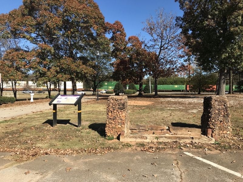
3. Locust Grove Marker
• William S. Fears Federal cavalry camped on his plantation near Locust Grove.
Erected by Georgia Civil War Heritage Trails. (Marker Number R3.)
Topics and series. This historical marker is listed in these topic lists: Railroads & Streetcars • War, US Civil. In addition, it is included in the Georgia Civil War Trails series list. A significant historical date for this entry is November 17, 1864.
Location. 33° 21.116′ N, 84° 6.815′ W. Marker has been damaged. Marker is in Locust Grove, Georgia, in Henry County. It is on School west of U.S. 23, on the left when traveling west. Marker is near the Locust Grove town hall. Touch for map. Marker is in this post office area: Locust Grove GA 30248, United States of America. Touch for directions.

Regionally, this marker is in Georgia’s Piedmont and in Metro Atlanta. It is also in the American South and specifically in the Deep South. Globally, it is in North America, the Western Hemisphere, the Western World, and the Anglosphere. Historically, it finds itself in what was once the territory of
Photographed by Mark Parker, December 27, 2024
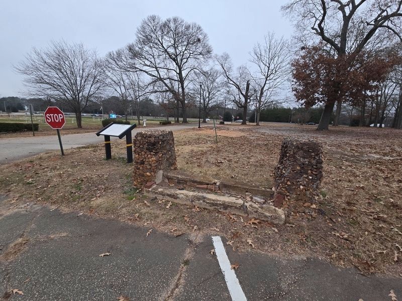
4. Locust Grove Marker damage
Photo taken from perspective of original entry
Other nearby markers. At least 8 other markers are within 7 miles of this location, measured as the crow flies: Locust Grove Veterans Memorial (within shouting distance of this marker); Locust Grove Institute (about 300 feet away, measured in a direct line); The March to the Sea (approx. 2 miles away); Ringold Community (approx. 5.4 miles away); The Huey UH-1H Was the Work Horse of Vietnam (approx. 6.2 miles away); Miller's Saw Mill Replica (approx. 6.2 miles away); Steam Locomotive (approx. 6.2 miles away); Lane's Place (approx. 6.2 miles away). Touch for a list and map of all markers in Locust Grove.
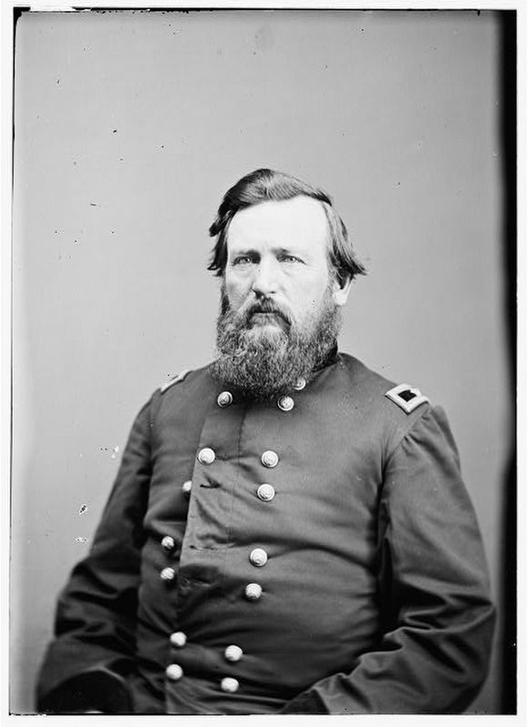
via Civil war photographs, 1861-1865, Library of Congress, Prints and Photographs Division, circa 1865
5. Locust Grove Marker detail
Union Brigadier General Charles R. Woods.
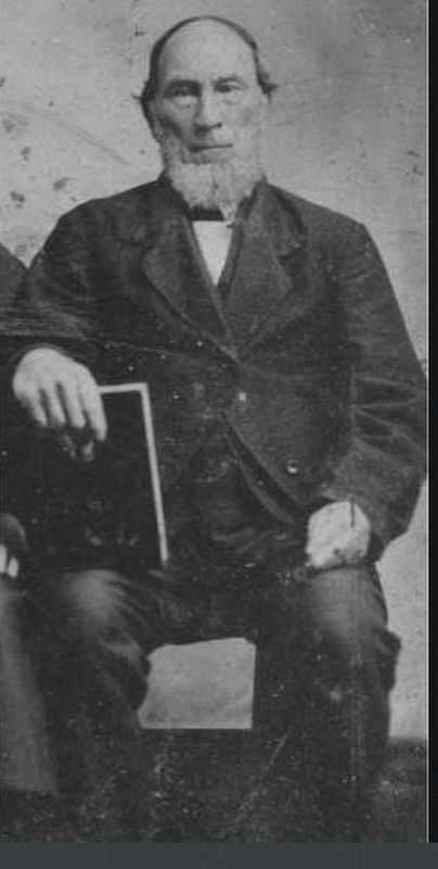
via "History of the Restoration Movement"
6. Locust Grove Marker detail
William Sadler Fears.
Credits. This page was last revised on June 30, 2025. It was originally submitted on November 23, 2021, by Duane and Tracy Marsteller of Murfreesboro, Tennessee. This page has been viewed 1,314 times since then and 65 times this year. Last updated on December 27, 2024, by Mark Parker of Hickory, North Carolina. Photos: 1. submitted on November 23, 2021, by Duane and Tracy Marsteller of Murfreesboro, Tennessee. 2. submitted on December 27, 2024, by Mark Parker of Hickory, North Carolina. 3. submitted on November 23, 2021, by Duane and Tracy Marsteller of Murfreesboro, Tennessee. 4. submitted on December 27, 2024, by Mark Parker of Hickory, North Carolina. 5, 6. submitted on November 23, 2021, by Duane and Tracy Marsteller of Murfreesboro, Tennessee. • Bernard Fisher was the editor who published this page.
