Burlington in Halton Region, Ontario — Central Canada (North America)
Beach Strip
Then and Now
Photographed by Tim Boyd, September 21, 2023
1. Beach Strip Marker
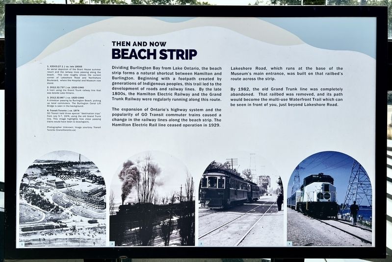
Dividing Burlington Bay from Lake Ontario, the beach strip forms a natural shortcut between Hamilton and Burlington. Beginning with a footpath created by generations of Indigenous peoples, this trail led to the development of roads and railway lines. By the late 1800s, the Hamilton Electric Railway and the Grand Trunk Railway were regularly running along this route.
The expansion of Ontario's highway system and the popularity of GO Transit commuter trains caused a change in the railway lines along the beach strip. The Hamilton Electric Rail line ceased operation in 1929.
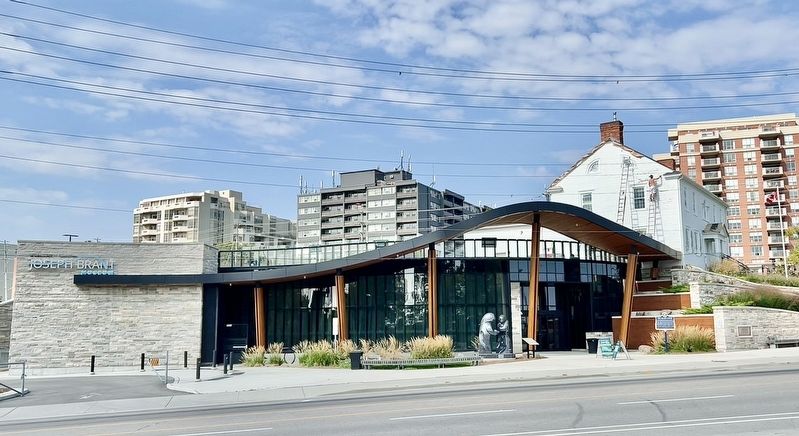
Lakeshore Road, which runs at the base of the Museum's main entrance, was built on that railbed's route across the strip.
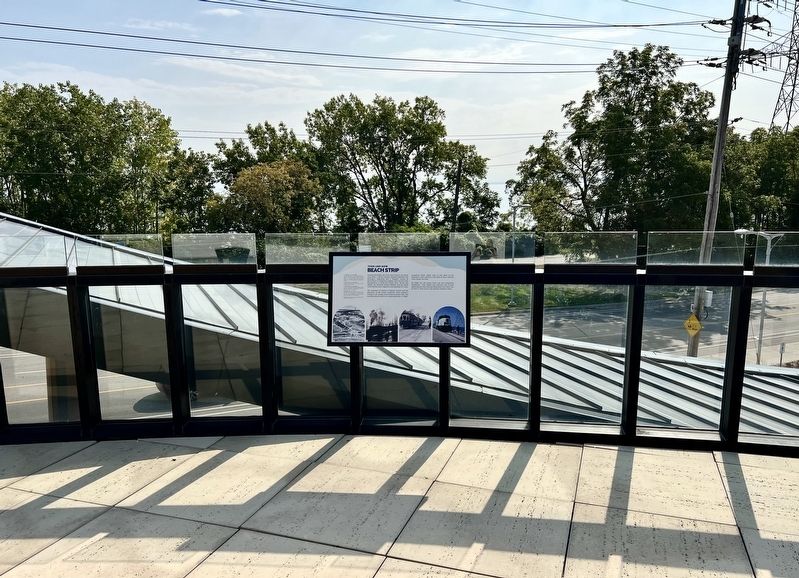
By 1982, the old Grand Trunk line was completely abandoned. That railbed was removed, and its path would become the multi-use Waterfront Trail which can be seen in front of you, just beyond Lakeshore Road.
Topics. This historical marker is listed in these topic lists: Railroads & Streetcars • Roads & Vehicles. A significant historical year for this entry is 1929.
Location. 43° 19.112′ N, 79° 48.095′ W. Marker is in Burlington,
this page online

Regionally, this marker is in Greater Toronto, specifically on the Golden Horseshoe, in the Hamilton-Halton-Brant Area, and specifically in the Toronto Metropolitan Area. It is also in Central Canada. Globally, it is in North America, on the Great Lakes, in the Western Hemisphere, in the Western World, and in the Anglosphere. Historically, it finds itself in what was once a British colony, the Viceroyalty of New France, the Haudenosaunee (Iroquois) Confederacy, and Rupert’s Land.
Other nearby markers. At least 8 other markers are within walking distance of this marker: Joseph Brant Hospital (here, next to this marker); Brant Street Pier (here, next to this marker); The Brant House (a few steps from this marker); The Brant Inn (about
Photographed by Tim Boyd, 921/2024
2. Beach Strip Marker
Photographed by Tim Boyd, September 21, 2024
3. The Joseph Brant Museum
Marker is visible in approximately the centre of the photo

4. Burlington Beach Strip, 1925
Source: Burlington Public Reason (public domain)
Credits. This page was last revised on December 28, 2024. It was originally submitted on December 27, 2024, by Tim Boyd of Hamilton, Ontario. This page has been viewed 430 times since then and 93 times this year. Photos: 1, 2, 3, 4. submitted on December 27, 2024, by Tim Boyd of Hamilton, Ontario. • Andrew Ruppenstein was the editor who published this page.
