Near Whitewright in Grayson County, Texas — The American South (West South Central)
Everheart-Canaan Cemetery
Photographed by James Hulse, December 27, 2024
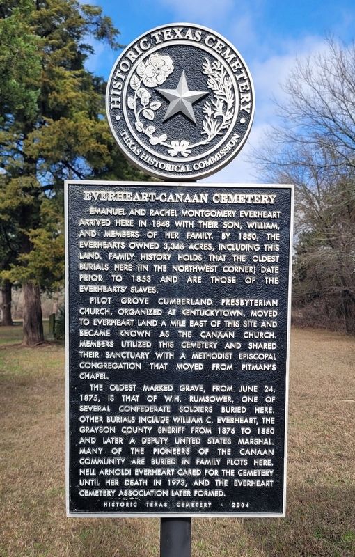
1. Everheart-Canaan Cemetery Marker
Pilot Grove Cumberland Presbyterian Church, organized at Kentuckytown, moved to Everheart land a mile east of this site and became known as the Canaan Church. Members utilized this cemetery and shared their sanctuary with a Methodist Episcopal congregation that moved from Pitman's Chapel.
The oldest marked grave, from June 24, 1875, is that of W.H. Rumsower, one of several Confederate soldiers buried here. Other burials include William C. Everheart, the Grayson County Sheriff from 1876 το 1880 and later a Deputy United States Marshal. Many of the pioneers of the Canaan community are buried in family plots here. Nell Arnoldi Everheart cared for the cemetery until her death in 1973, and the Everheart Cemetery Association later formed.
Erected 2004 by Texas Historical Commission. (Marker Number 13085.)
Topics. This historical marker is listed in this topic list: Cemeteries & Burial Sites. A significant historical date for this entry is June 24, 1875.
Location. 33° 33.423′ N, 96° 24.84′ W. Marker is near Whitewright, Texas, in Grayson County. It is on Penny Road half a mile west of Pettit Pkwy (U.S. 69), on the right when traveling west. The marker is located at the front of the cemetery. Touch for map. Marker is at or near this postal address: 845 Penny Rd, Whitewright TX 75491, United States of America. Touch for directions.

Regionally, this marker is in the Prairies & Lakes Region. It is also in the American South. Globally, it is in North America, a
this page online
Other nearby markers. At least 8 other markers are within 4 miles of this marker, measured as the crow flies: A.M. Bryant Homeplace (approx. 1.9 miles away); Greenwood Cemetery (approx. 2.8 miles away); Kentucky Town (approx. 3 miles away); Whitewright (approx. 3.1 miles away); First Presbyterian Church and Manse (approx. 3.2 miles away); Martindale-Lackey-Hudgins House (approx. 3.2 miles away); First Methodist Church of Whitewright (approx. 3.3 miles away); Whitewright Masonic Lodge No. 167 (approx. 3.6 miles away). Touch for a list and map of all markers in Whitewright.
Photographed by James Hulse, December 27, 2024
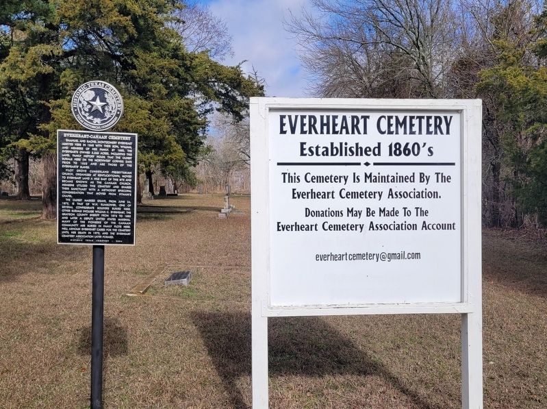
2. Everheart-Canaan Cemetery Marker
Photographed by James Hulse, December 27, 2024
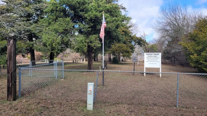
3. The view of the Everheart-Canaan Cemetery and Marker from the street
Credits. This page was last revised on December 28, 2024. It was originally submitted on December 28, 2024, by James Hulse of Medina, Texas. This page has been viewed 198 times since then and 31 times this year. Photos: 1, 2, 3. submitted on December 28, 2024, by James Hulse of Medina, Texas.
