Sherman in Grayson County, Texas — The American South (West South Central)
Pioneer Cotton Seed Oil Mill
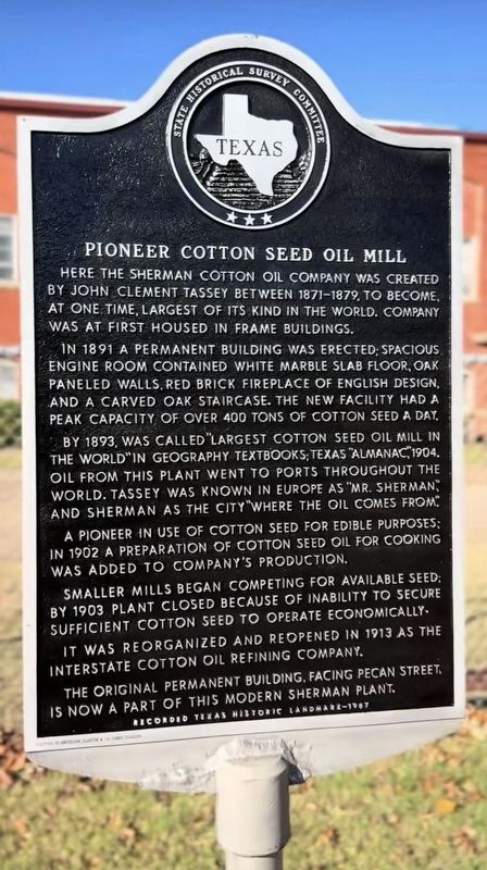
1. Pioneer Cotton Seed Oil Mill Marker
Erected 1967 by State Historical Survey Committee. (Marker Number 7419.)
Topics. This historical marker is listed in these topic lists: Agriculture • Industry & Commerce. A significant historical year for this entry is 1891.
Location. 33° 38.486′ N, 96° 35.777′ W. Marker is in Sherman, Texas, in Grayson County. It is on East Pecan Street west of North Lee Street, on the right when traveling west. The marker is located at the front of the main building by the street. Touch for map. Marker is at or near this postal address: 1204 E Pecan St, Sherman TX 75090, United States of
this page online

Regionally, this marker is in the Prairies & Lakes Region. It is also in the American South. Globally, it is in North America, a Gulf of Mexico state, the Western Hemisphere, the Western World, and the Anglosphere. Historically, it finds itself in what was once New Spain, the Republic of Texas, one of the Confederate States of America, and the Antebellum South.
Other nearby markers. At least 8 other markers are within walking distance of this marker: Thompson House/Temple Center (approx. 0.3 miles away); Austin College (approx. 0.3 miles away); Ida Green Communication Center (approx. 0.3 miles away); Jerry E. Apple Stadium, Robert T. Mason Athletic-Recreation Complex (approx. 0.4 miles away); Student Union Building (former location) (approx. 0.4 miles away); Windsor Mall (approx. 0.4 miles away); Wynne Chapel (approx. 0.4 miles away); Solstice Calendar & Abell Library (approx. 0.4 miles away). Touch for a list and map of all markers in Sherman.
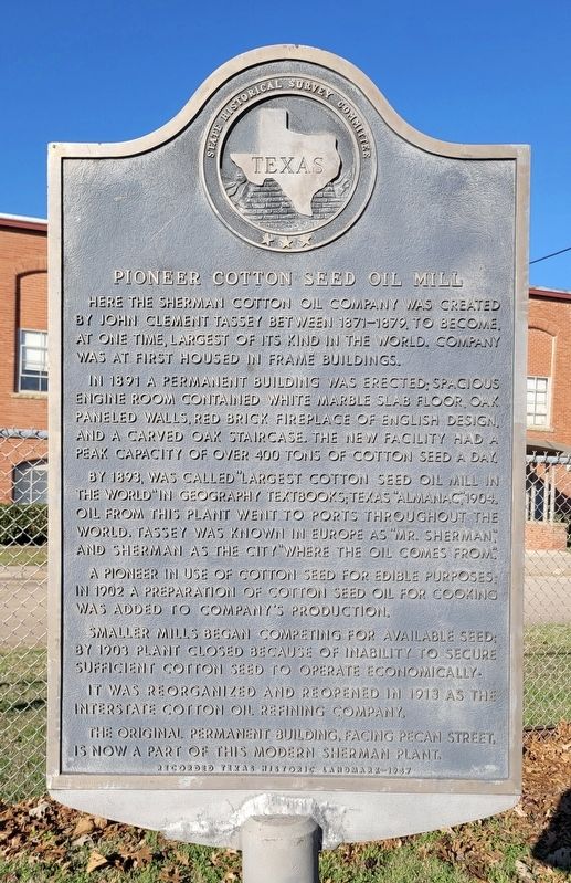
Photographed by James Hulse, December 27, 2024
2. Pioneer Cotton Seed Oil Mill Marker
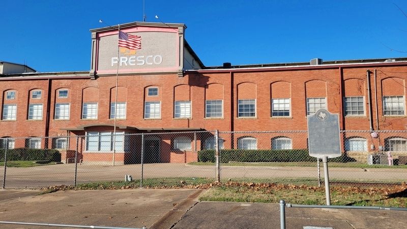
Photographed by James Hulse, December 27, 2024
3. Pioneer Cotton Seed Oil Mill and Marker
Credits. This page was last revised on February 23, 2026. It was originally submitted on December 29, 2024, by James Hulse of Medina, Texas. This page has been viewed 456 times since then and 133 times this year. Photos: 1. submitted on February 9, 2026. 2, 3. submitted on December 30, 2024, by James Hulse of Medina, Texas.
