Trinity Rest Area in Churchill County, Nevada — The American Mountains (Southwest)
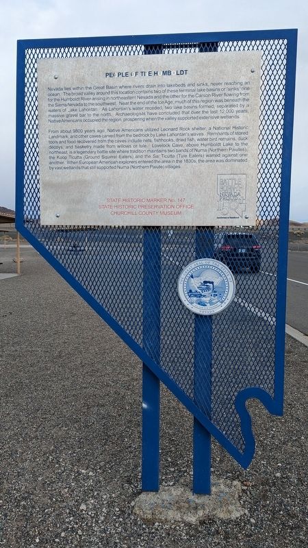
People of the Humboldt

Photographed by Marc Belanger, December 29, 2024
1. People of the Humboldt Marker
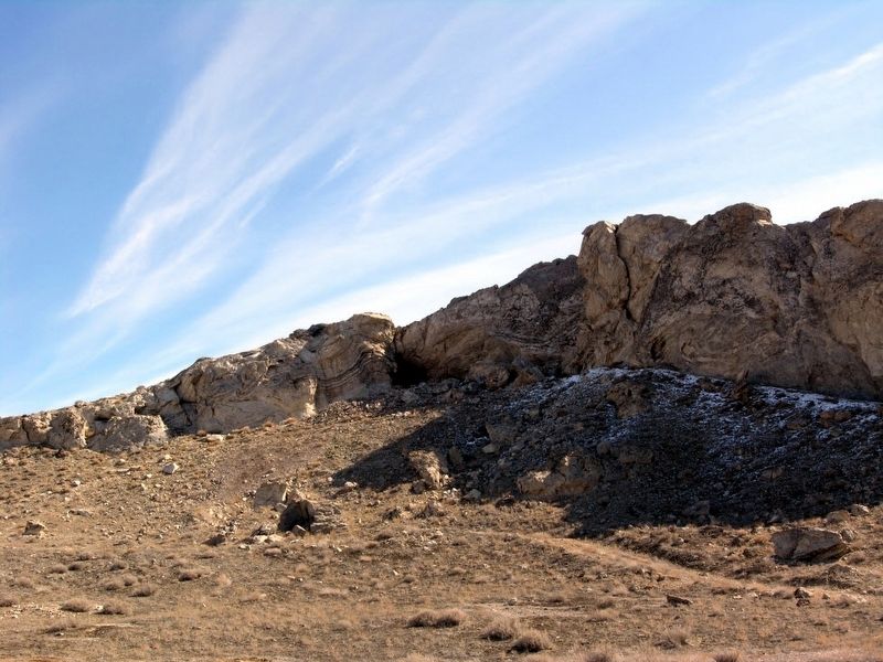
From about 9800 years ago. Native Americans utilized Leonard Rock Shelter, a National Historic Landmark, and other caves carved from the bedrock by Lake Lahontan's waves. Remnants of stored tools and food recovered from the caves include nets, fishhooks, dried fish, water bird remains, duck decoys, and basketry made from willows or tule. Lovelock Cave, above Humboldt Lake to the northeast, is a legendary battle site where tradition maintains
this page online
Erected by Nevada State Historic Preservation Office, Churchill County Museum. (Marker Number 147.)
Topics. This historical marker is listed in this topic list: Indigenous Peoples and Communities.
Location. 39° 56.442′ N, 118° 44.97′ W. Marker is in Trinity Rest Area, Nevada, in Churchill County. It is on U.S. 95, on the left when traveling north. Touch for map. Marker is in this post office area: Lovelock NV 89419, United States of America. Touch for directions.

Regionally, this marker is in the Northern Nevada. It is also in the American Mountain West. Globally, it is in North America, the Western Hemisphere, the Western World, and the Anglosphere. Historically, it finds itself in what was once New Spain and also Mexico’s Alta California.
Other nearby markers. At least
Photographed by Marc Belanger, December 29, 2024
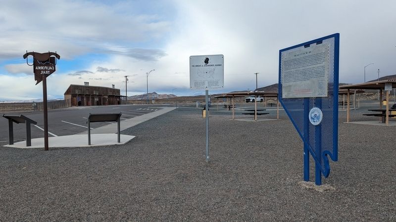
2. People of the Humboldt Marker
More about this marker. The marker is in the Fallon Rest Area.
Photographed by Marc Belanger, December 29, 2024
3. People of the Humboldt Marker
Photographed by Duane Hall, March 7, 2009
4. Lovelock Cave
Credits. This page was last revised on July 13, 2025. It was originally submitted on December 30, 2024, by Marc Belanger of Reno, Nevada. This page has been viewed 280 times since then and 55 times this year. Photos: 1, 2, 3. submitted on December 30, 2024, by Marc Belanger of Reno, Nevada. 4. submitted on August 6, 2013, by Duane Hall of Abilene, Texas. • Andrew Ruppenstein was the editor who published this page.
