Sherman in Grayson County, Texas — The American South (West South Central)
Hendrix Cemetery
Photographed by James Hulse, December 30, 2024
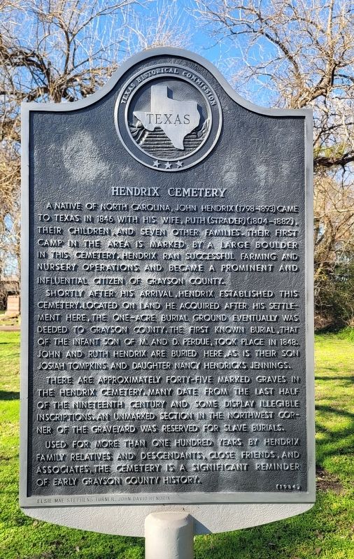
1. Hendrix Cemetery Marker
Shortly after his arrival, Hendrix established this cemetery. Located on land he acquired after his settlement here, the one-acre burial ground eventually was deeded to Grayson County. The first known burial, that of the infant son of M. and D. Perdue, took place in 1848. John and Ruth Hendrix are buried here as is their son Josiah Tompkins and daughter Nancy Hendricks Jennings.
There are approximately forty-five marked graves in the Hendrix Cemetery. Many date from the last half of the nineteenth century and some display illegible inscriptions. An unmarked section in the northwest corner of the graveyard was reserved for slave burials.
Used for more than one hundred years by Hendrix family relatives and descendants close friends, and associates, the cemetery is a significant reminder of early Grayson County history.
Elsie Mae Stephens Turner, John David Hendrix
Erected 1984 by Texas Historical Commission. (Marker Number 7385.)
Topics. This historical marker is listed in this topic list: Cemeteries & Burial Sites. A significant historical year for this entry is 1846.
Location. 33° 41.003′ N, 96° 34.647′ W. Marker is in Sherman, Texas, in Grayson County. It is at the intersection of Hayes Street and Hilltop Drive, on the right when traveling south on Hayes Street. The marker is located in the front of the cemetery. Touch for map. Marker is at or near this postal address: 4612 Hayes St, Sherman TX 75090, United States of America. Touch for directions.

Regionally,
this page online
Other nearby markers. At least 8 other markers are within 3 miles of this marker, measured as the crow flies: Albert Hendrix (here, next to this marker); First Texas Interurban (approx. 0.9 miles away); Grayson Bible Baptist Church (approx. 2 miles away); Park of Old Settlers Association of Grayson County (approx. 2.2 miles away); Travis Lodge No.117, A.F. & A.M. (approx. 2.6 miles away); Old Main (former location) (approx. 2.7 miles away); Austin College (approx. 2.7 miles away); Wynne Chapel (approx. 2.7 miles away). Touch for a list and map of all markers in Sherman.
Photographed by James Hulse, December 30, 2024
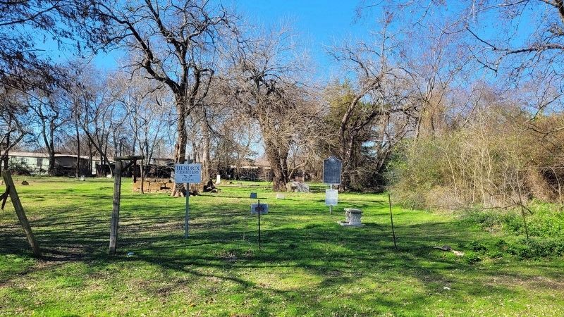
2. The view of the Hendrix Cemetery and Marker from the road
Photographed by James Hulse, December 30, 2024
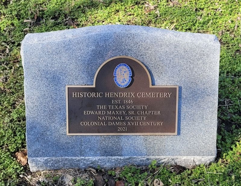
3. Historic Hendrix Cemetery plaque
Credits. This page was last revised on January 2, 2025. It was originally submitted on December 31, 2024, by James Hulse of Medina, Texas. This page has been viewed 183 times since then and 42 times this year. Photos: 1, 2, 3. submitted on January 2, 2025, by James Hulse of Medina, Texas.
