Near Pottsboro in Grayson County, Texas — The American South (West South Central)
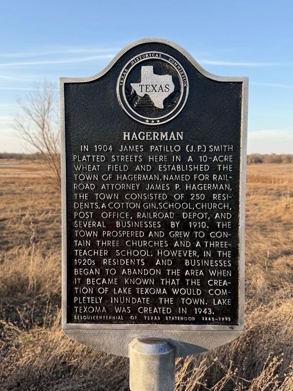
Hagerman
Photographed by Gary Estep, February 12, 2026
1. Hagerman Marker
Erected 1995 by Texas Historical Commission. (Marker Number 7380.)
Topics. This historical marker is listed in these topic lists: Parks & Recreational Areas • Settlements & Settlers. A significant historical year for this entry is 1904.
Location. 33° 44.483′ N, 96° 45.238′ W. Marker is near Pottsboro, Texas, in Grayson County. It is on Wildlife Road west of Refuge Rd, on the right when traveling west. The marker is located in the Hagerman National Wildlife Refuge at the start of the driving tour. Touch for map.
this page online

Regionally, this marker is in the Prairies & Lakes Region. It is also in the American South. Globally, it is in North America, a Gulf of Mexico state, the Western Hemisphere, the Western World, and the Anglosphere. Historically, it finds itself in what was once New Spain, the Republic of Texas, one of the Confederate States of America, and the Antebellum South.
Other nearby markers. At least 8 other markers are within 6 miles of this marker, measured as the crow flies: Preston Road/Shawnee Trail (approx. 4.9 miles away); Pottsboro (approx. 4.9 miles away); In Honor of Our Veterans (approx. 5 miles away); First Site of City of Sherman (approx. 5.4 miles away); Site of Fort Johnson (approx. 5½ miles away); Louis Wilmouth (approx. 5.6 miles away); Perrin Air Force Base (approx. 5.7 miles away); Fink (approx. 6 miles away). Touch for a list and map of all markers in Pottsboro.
Another marker is no longer nearby. George R. Reeves (was approx. 5 miles away but has been permanently removed).

Photographed by James Hulse, December 30, 2024
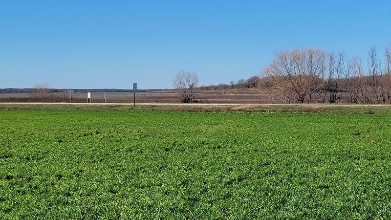
2. Hagerman Marker
Photographed by James Hulse, December 30, 2024
3. Hagerman Marker
The marker is located along the road on the left.

Photographed by James Hulse, December 30, 2024
4. Hagerman Marker
Credits. This page was last revised on August 14, 2026. It was originally submitted on January 2, 2025, by James Hulse of Medina, Texas. This page has been viewed 233 times since then and 39 times this year. Photos: 1. submitted on August 13, 2026, by Gary Estep of Anna, Texas. 2, 3, 4. submitted on January 2, 2025, by James Hulse of Medina, Texas.
