Cumberland Township in Crucible in Greene County, Pennsylvania — The American Northeast (Mid-Atlantic)
Coal Towns

Photographed by Bradley Owen, October 9, 2024
1. Coal Towns Marker
Coal Patches
The coal boom that began in the late nineteenth century and the tens of thousands of workers needed in the remote areas where the mines were located led to the development of small company towns known as "coal patches" or simply "the patch."
In the early 1900s, Pennsylvania had more company towns than any other state in the nation. Today, Pennsylvania is home to more municipalities than any other state, a direct legacy of the coal towns.
Coal patches had common features. They were built and owned by one company and socially arranged. The owner, bosses and foremen lived in larger, better constructed, detached houses. These houses would be located on the main road and usually near the mining entrance. Thus bosses were easily available if a problem arose.
The immigrants and unskilled workers occupied the cheaper housing. The most common house type was a semi-detached, two story wood frame double house. The miners paid their rent directly to the company and generally the rent was cheaper than any available private rental properties.
Central to the patch was the company store, a general store selling
this page online
The most important feature of the coal patches was control. The system of rent and store credit kept the workers tied to the company. Threat of eviction and the withholding of credit discouraged workers from challenging company authority and joining unions.
At the turn of the century, approximately 75 percent of the residents in the patches were immigrants that had recently arrived from southern and eastern Europe. In the larger towns, the immigrants self sorted by nationality in neighborhoods resulting in informal names such as Pole Town, Swede Street or Hunky Hollow.
Town of Crucible
Crucible, located along the Monongahela River about 1.5 miles south of Rices Landing, was founded in 1911 to supply housing for Crucible Coal Company.
Crucible was the typical mining town. The first houses built for the miners were semi-detached with five rooms, two rooms up and three rooms down. They were built along Riverview Road. Single houses were also built, with
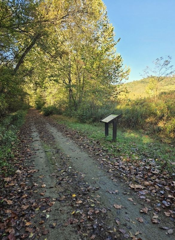
Photographed by Bradley Owen, October 9, 2024
2. Coal Towns Marker
View is looking west.
The houses did not have electricity or indoor plumbing. Water was carried from hydrants located at intervals on the streets and outhouses were located behind the houses. Heat was provided by burning coal in the fireplaces that were located in each room, except the kitchen. There was no insulation and the houses were painted gray until white asbestos shingles were installed.
In 1915, 40 single and 40 double houses had been built. The row of houses above the mine offices were for the bosses and were larger and better constructed single homes. This row and two additional homes for the company store manager and the mine superintendent had electricity and indoor plumbing.
The town had a company store, community building and school. The main floor of the community building housed the doctor's offices, a barber shop, a police station and a movie theater. A bowling alley and pool hall were located in the basement. Apartments for some of the security men were located on the second floor. The six room elementary school, with six teachers, held the first eighth grade graduation in May 1919. There were five graduates.
By 1917, 140 additional homes had been built. In the late 1920s, electricity in the form of a ceiling light in each room was installed in the homes. This electricity was produced at the mine and there were frequent brownouts and blackouts. In the 1930s, the houses had running water but not bathrooms. The outhouses were in use until after World War II.
As the demand for coal grew, so did the town of Crucible. 3,382 inhabitants in 1920 grew to 7,187 in 1930 for Cumberland Township. The influx of miners and their families was making an enormous difference to the region as the towns of Crucible and Nemacolin were included in the census count. In 1927, an annex was added to the elementary school with eight rooms and an auditorium to increase the number of teachers to 14 for the 525 students.
(Captions):
Crucible from overhead.
Crucible (Val Moson)
1930's photograph of a young lady between buildings.
Crucible (Val Moson)
Erected 2020 by Pennsylvania Department of Conservation and Natural Resources, Rivers of Steel, Greene County Museum and Greene County Tourist Promotion Agency.
Topics. This historical marker is listed in these topic lists: Education • Immigration • Industry & Commerce • Settlements & Settlers. A significant historical month for this entry is May 1919.
Location. 39° 57.204′ N, 79° 58.006′ W. Marker is in Crucible, Pennsylvania, in Greene County. It is in Cumberland Township. It can be reached from River Hill Road (County Route 1017) half a mile west of Crucible Road (County Route 1021), on the left when traveling west. Marker is located on the Greene River Trail approximately one quarter mile west of a small parking area on River Hill Road. Touch for map. Marker is in this post office area: Rices Landing PA 15357, United States of America. Touch for directions.

Regionally, this marker is in the American Northeast, in the Mid-Atlantic, in Appalachia, and specifically in Northern Appalachia. Globally, it is in North America, the Western Hemisphere, the Western World, and the Anglosphere. Historically, it finds itself in what was once the Haudenosaunee (Iroquois) Confederacy and also one of the original Thirteen Colonies.
Other nearby markers. At least 8 other markers are within 2 miles of this marker, measured as the crow flies: Crucible Mine (approx. 0.2 miles away); Ferries (approx. ¼ mile away); Early Coal Mining (approx. 0.4 miles away); Crucible World War II Honor Roll (approx. half a mile away); Pittsburgh Coal Seam (approx. one mile away); Bituminous Coal (approx. 1.4 miles away); Rices Landing Community Honor Roll (approx. 1.6 miles away); Foundry (approx. 1.7 miles away). Touch for a list and map of all markers in Crucible.
Credits. This page was last revised on July 19, 2025. It was originally submitted on January 2, 2025, by Bradley Owen of Morgantown, West Virginia. This page has been viewed 525 times since then and 146 times this year. Photos: 1, 2. submitted on January 2, 2025, by Bradley Owen of Morgantown, West Virginia.
