Lovelock in Pershing County, Nevada — The American Mountains (Southwest)
California Trail - Granite Point
⎯⎯⎯
H.R.R-9 - West Branch of California Trail
Photographed by Marc Belanger, December 29, 2024
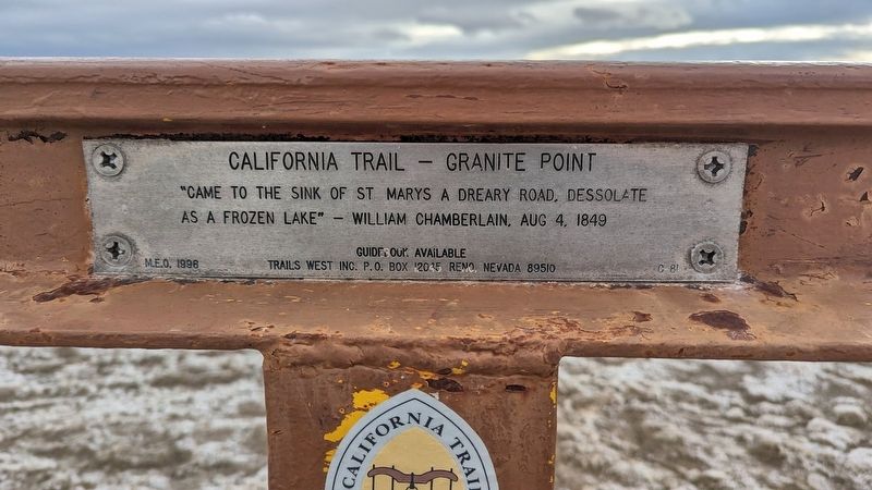
1. California Trail - Granite Point side of marker
"Came to the Sink of St Marys a dreary road, dessolate as a frozen lake" - William Chamberlain, Aug 4, 1849
M.E.O. 1996
Guidebook available
Trails West Inc. P. O. Box 12035 Reno, Nevada 89510
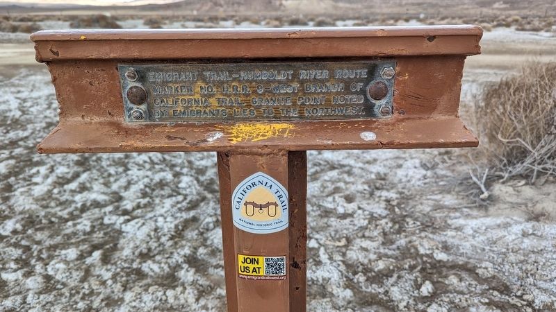
Emigrant Trail-Humboldt River Route
Marker No H.R.R-9-West branch of
California Trail Granite point noted
by emigrants lies to the northwest.
Erected 1996 by Trails West, Inc. (Marker Number C-81 / HRR.)
Topics and series. This historical marker is listed in these topic lists: Roads & Vehicles • Settlements & Settlers. In addition, it is included in the California Trail series list. A significant historical date for this entry is August 4, 1849.
Location. 40° 5.507′ N, 118° 34.934′ W. Marker is in Lovelock, Nevada, in Pershing County. It is on Derby Field Road. Touch for map. Marker is at or near this postal address: NV-860, Lovelock NV 89419, United States of America. Touch for directions.

Regionally, this marker is in the Northern Nevada. It is also in the American Mountain West. Globally, it is in North America, the Western Hemisphere, the Western World, and the Anglosphere. Historically, it finds itself in
this page online
Other nearby markers. At least 8 other markers are within 9 miles of this marker, measured as the crow flies: California Trail - Leaving Big Meadows (approx. 5 miles away); La' Belle Brothel 1961-1981 (approx. 7.6 miles away); Mazuma (approx. 7.6 miles away); The Marzen House (approx. 7.6 miles away); Applegate-Lassen Emigrant Trail (approx. 7.6 miles away); Seven Troughs Mining District (approx. 7.6 miles away); Lone Mountain Chinese Cemetery (approx. 7.7 miles away); Pershing County (approx. 8.3 miles away). Touch for a list and map of all markers in Lovelock.
Photographed by Marc Belanger, December 29, 2024
2. H.R.R 9 - West Branch of California Trail side of marker
Photographed by Marc Belanger, December 29, 2024
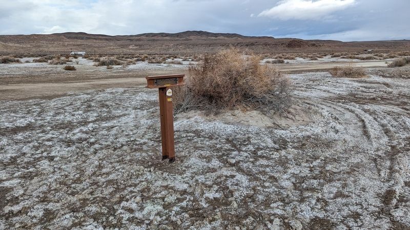
3. California Trail - Granite Point / H.R.R-9 - West Branch of California Trail Marker
Photographed by Marc Belanger, December 29, 2024
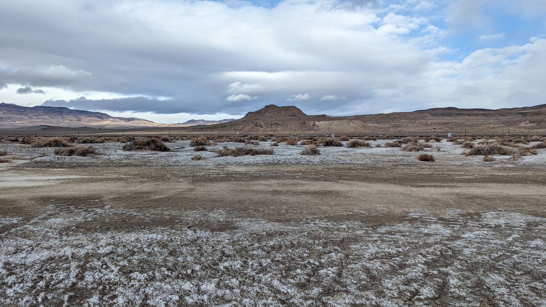
4. A view of Granite Point.
Credits. This page was last revised on January 3, 2025. It was originally submitted on January 3, 2025, by Marc Belanger of Reno, Nevada. This page has been viewed 268 times since then and 34 times this year. Photos: 1, 2, 3, 4. submitted on January 3, 2025, by Marc Belanger of Reno, Nevada. • Andrew Ruppenstein was the editor who published this page.
