Jackson in Butts County, Georgia — The American South (South Atlantic)
The Right Wing at Jackson
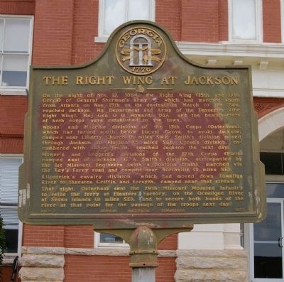
Photographed by David Seibert, August 1, 2009
1. The Right Wing at Jackson Marker
Woods’ and Hazen’s divisions of the 15th Corps (Osterhaus), which had turned south below Locust Grove to avoid Jackson, camped near Liberty Church (6 miles SW); Smith’s division moved through Jackson to Flovilla (5 miles SE); Corse’s division, encumbered with wagon trains, reached Jackson the next day.
Mower’s and Leggett’s divisions of the 17th Corps (Blair) camped east of Jackson; G.A. Smith’s division, accompanied by the 1st Missouri Engineers (with a pontoon train), marched via the Key’s Ferry road and camped near Worthville (9 miles NE).
Kilpatrick’s cavalry division, which had moved down Towaliga River to threaten Griffin and Forsyth, camped near that stream.
That night, Osterhaus sent the 29th Missouri Mounted Infantry to seize the ferry at Planters’ Factory,
this page online
Erected 1957 by Georgia Historical Commission. (Marker Number 018-2.)
Topics and series. This historical marker is listed in this topic list: War, US Civil. In addition, it is included in the Georgia Historical Society, and the Sherman’s March to the Sea series lists. A significant historical date for this entry is November 17, 1864.
Location. 33° 17.69′ N, 83° 58.024′ W. Marker is in Jackson, Georgia, in Butts County. It is on North Oak Street north of Third Street, on the right when traveling north. Touch for map. Marker is at or near this postal address: 25 3rd St, Jackson GA 30233, United States of America. Touch for directions.

Regionally, this marker is in the Piedmont. It is also in the American South and specifically in the Deep South. Globally, it is in North America, the Western Hemisphere, the Western World, and the Anglosphere. Historically, it finds itself in what was once the territory of the Mississippian Culture, one of the original Thirteen Colonies, one of the Confederate
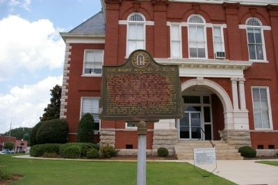
Photographed by David Seibert, August 1, 2009
2. The Right Wing at Jackson Marker
Other nearby markers. At least 8 other markers are within 4 miles of this marker, measured as the crow flies: Butts County (a few steps from this marker); Crossing the Ocmulgee (within shouting distance of this marker); Jackson (within shouting distance of this marker); Butts County Confederate Monument (within shouting distance of this marker); Jackson Veterans Memorial Park / All Gave Some, Some Gave All (about 700 feet away, measured in a direct line); Sylvan Grove Plantation (approx. 0.9 miles away); a different marker also named Sylvan Grove Plantation (approx. 0.9 miles away); Iron Springs (approx. 3½ miles away). Touch for a list and map of all markers in Jackson.
More about this marker. The marker, originally located on the south lawn (GPS 33.29452, -83.96696), has been moved to the west side of the Historic Butts County Courthouse, which is now home to the Butts County Chamber of Commerce Welcome Center.
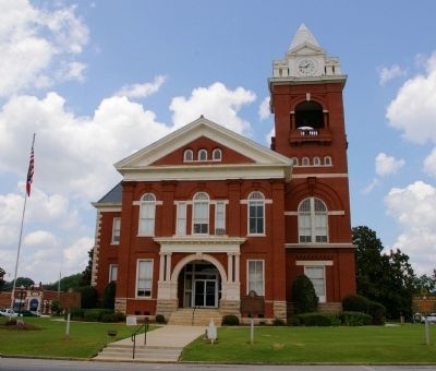
Photographed by David Seibert, August 1, 2009
3. The Butts County Courthouse
"The Right Wing at Jackson" marker stands to the left of the entrance to the 1898 Butts County Courthouse; two other markers ("Crossing the Ocmulgee" and a Blue Star Memorial Highway marker) stand to the right.
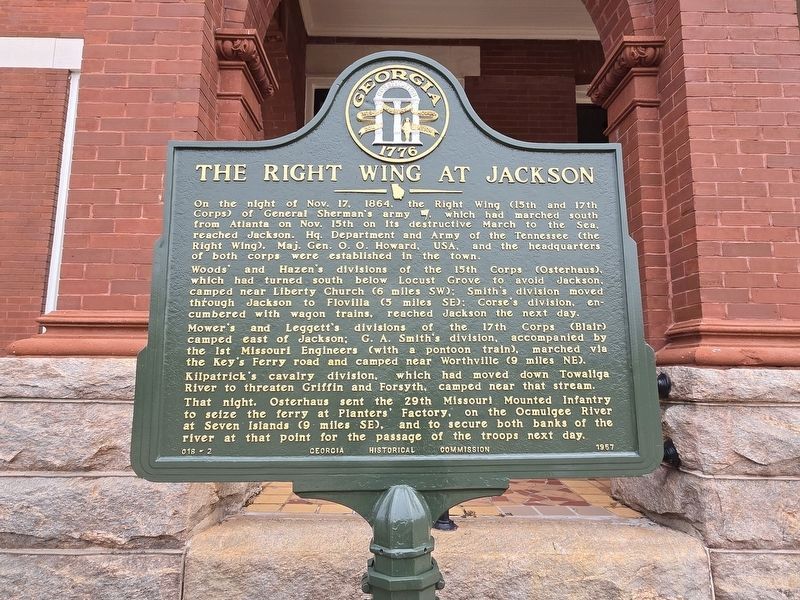
Photographed by Mark Parker, December 27, 2024
4. Refurbished The Right Wing at Jackson Marker
Marker moved to the west side of the Historic Butts County Courthouse
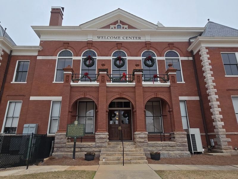
Photographed by Mark Parker, December 27, 2024
5. Full view of the west side of the Butts County Historical Courthouse
Marker is to the left of the entrance
Credits. This page was last revised on January 5, 2025. It was originally submitted on August 3, 2009, by David Seibert of Sandy Springs, Georgia. This page has been viewed 1,556 times since then and 42 times this year. Last updated on January 4, 2025, by Mark Parker of Hickory, North Carolina. Photos: 1, 2, 3. submitted on August 3, 2009, by David Seibert of Sandy Springs, Georgia. 4, 5. submitted on January 4, 2025, by Mark Parker of Hickory, North Carolina. • Bernard Fisher was the editor who published this page.
