Stephenville in Erath County, Texas — The American South (West South Central)
Cornelia Graves
Photographed by James Hulse, January 3, 2025
1. Cornelia Graves Marker
Inscription.
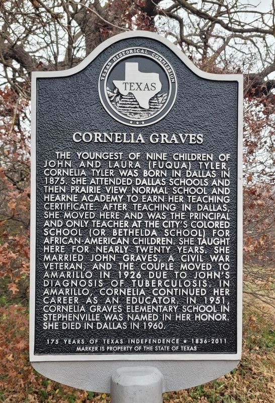
Cornelia Graves. . The youngest of nine children of John and Laura (Fuqua) Tyler, Cornelia Tyler was born in Dallas in 1875. She attended Dallas schools and then Prairie View Normal School and Hearne Academy to earn her teaching certificate. After teaching in Dallas, she moved here and was the principal and only teacher at the city's colored school (or Bethelda School) for African-American children. She taught here for nearly twenty years. She married John Graves, a Civil War veteran, and the couple moved to Amarillo in 1926 due to John's diagnosis of tuberculosis. In Amarillo, Cornelia continued her career as an educator. In 1951, Cornelia Graves Elementary School in Stephenville was named in her honor. She died in Dallas in 1960.
175 Years of Texas Independence 1836-2011
.
The youngest of nine children of John and Laura (Fuqua) Tyler, Cornelia Tyler was born in Dallas in 1875. She attended Dallas schools and then Prairie View Normal School and Hearne Academy to earn her teaching certificate. After teaching in Dallas, she moved here and was the principal and only teacher at the city's colored school (or Bethelda School) for African-American children. She taught here for nearly twenty years. She married John Graves, a Civil War veteran, and the couple moved to Amarillo in 1926 due to John's diagnosis of tuberculosis. In Amarillo, Cornelia continued her career as an educator. In 1951, Cornelia Graves Elementary School in Stephenville was named in her honor. She died in Dallas in 1960.
175 Years of Texas Independence * 1836-2011
Erected 2011 by Texas Historical Commission. (Marker Number 16960.)
Topics. This historical marker is listed in these topic lists: Education • Women. A significant historical year for this entry is 1875.
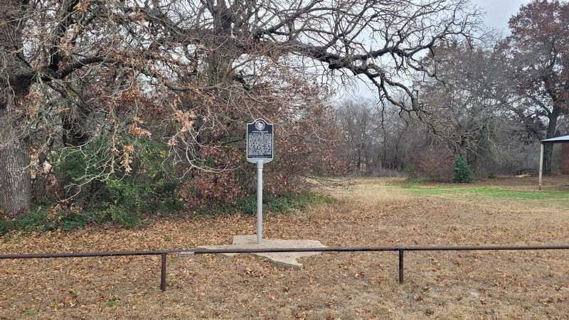
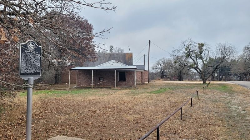
Location. 32° 13.926′ N, 98° 11.928′ W. Marker is in Stephenville, Texas, in Erath County. It is on South College Farm Road south of E Lingleville Rd, on the right when traveling north. The marker is located at the north side of St. John Baptist Church. Touch for map. Marker is at or near this postal address: 955 College Farm Road, Stephenville TX 76401, United States of America. Touch for directions.
Regionally, this marker is in the Prairies & Lakes Region. Globally, it is in North America, a Gulf of Mexico state, the Western Hemisphere, the Western World, and the Anglosphere. Historically, it finds itself in what was once New Spain, the Comanchería, the Republic of Texas, and one of the Confederate States of America.
Other nearby markers. At least 8 other markers are within walking distance of this marker: Mount Olive Cemetery
Credits. This page was last revised on January 5, 2025. It was originally submitted on January 5, 2025, by James Hulse of Medina, Texas. This page has been viewed 167 times since then and 25 times this year. Photos:1, 2, 3. submitted on January 5, 2025, by James Hulse of Medina, Texas.