Surry in Surry County, Virginia — The American South (Mid-Atlantic)
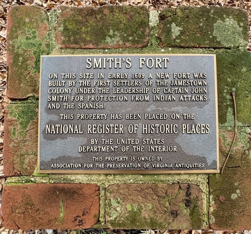
Smith’s Fort
Photographed by Brandon D Cross
1. Smith’s Fort Marker
National Register of Historic Places
by the United States
Department of the Interior
This property is owned by
Association for the Preservation of Virginia Antiquities
Erected by Association for the Preservation of Virginia Antiquities.
Topics. This historical marker is listed in these topic lists: Colonial Era • Forts and Castles • Settlements & Settlers. A significant historical year for this entry is 1609.
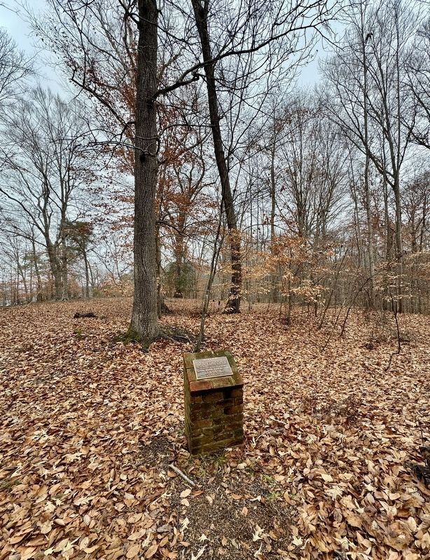
Location. 37° 10.075′ N, 76° 49.618′ W. Marker is in Surry, Virginia, in Surry County. It can be reached from Smith Fort Lane 0.3 miles west of Rolfe Highway (Virginia Route 31), on the right when traveling west. The marker is located on the grounds of Smith’s Fort Plantation, off the trail to the James River. Touch for map. Marker is at or near this postal address: 217 Smith Fort Lane, Surry VA 23883, United States of America. Touch for directions.

Regionally,
this page online
Other nearby markers. At least 8 other markers are within 3 miles of this marker, measured as the crow flies: Smith’s Fort Plantation (here, next to this marker); a different marker also named Smith’s Fort Plantation (approx. half a mile away); Surry County War Memorial (approx. 2.1 miles away); Capt. Jacob Faulcon, C.S.A. (approx. 2.1 miles away); Chanco (approx. 2.1 miles away); Surry County Virginia (approx. 2.1 miles away); a different marker also named Smith’s Fort Plantation (approx. 2.2 miles away); Surry County WWII Veterans Memorial (approx. 2.4 miles away). Touch for a list and map of all markers in
Photographed by Brandon D Cross
2. Smith’s Fort Marker
Another marker is no longer nearby. Surry County Confederate Monument (was approx. 2.1 miles away but has been permanently removed).
Also see . . .
1. Smith’s Fort: An American Story. (Submitted on January 9, 2025, by Brandon D Cross of Flagler Beach, Florida.)
2. Smith’s Fort Plantation. (Submitted on January 9, 2025, by Brandon D Cross of Flagler Beach, Florida.)
Credits. This page was last revised on January 10, 2025. It was originally submitted on January 9, 2025, by Brandon D Cross of Flagler Beach, Florida. This page has been viewed 188 times since then and 21 times this year. Photos: 1, 2. submitted on January 9, 2025, by Brandon D Cross of Flagler Beach, Florida. • Bernard Fisher was the editor who published this page.
