Cape Neddick in York in York County, Maine — The American Northeast (New England)
Ossipee Hill Fire Tower
Photographed by Larry Gertner, May 11, 2023
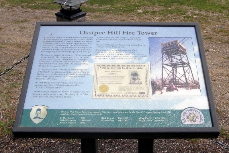
1. Ossipee Hill Fire Tower Marker
In 1916 the towns of Alfred, Limerick, Shapleigh, and Westboro appropriated $50.00 each for the purpose of erecting a lookout station at Ossipee Mountain with a like amount appropriated by the Federal Government. This move seemed assured but the party who owned the top of the mountain wanted such an exorbitant price for erecting such a tower than the plan fell through.
The lookout station at Ossipee Hill was erected in the fall of 1918, (sic) was connected to the system of the New England Telephone & Telegraph Company. The tower was opened in early May and stayed open until Early (sic) October, spotting 21 fires in the year of 1918.
In October of 1947 watchman Mike Ferguson of Sanford was driven from the tower when the flames overran the mountain and destroyed the fire tower. Mike served as watchman in the tower for 20 years.
In 1948 the tower was rebuilt in a wooden version and had a 30-foot height with a 13’ X 13’ wooden cabin.
Monroe Bean convinced towns to furnish money to put a radio in the tower. He also got the 33.6 band for area departments to use.
In 1991 when the state stopped funding the tower, it was manned
this page online
Ossipee Hill Lookout Tower is sponsored by the Waterboro Fire Department.
The tower was accepted to the National Historical Lookout Register at the 1997 summer conference of the Forest Fire Lookout Association in Alfred, Maine on August 23, 1997 to fire officials and Waterboro town officers.
Ossipee Hill Tower Personnel manned this tower and employed by the Maine Forestry Service from 1918 until the State (sic) stopped funding in 1991
C.W. Fluent 1919
Mike Ferguson 1942-1962
Austin Wyman 1962
Rick Brandt 1962-1963
Wayne Foss 1963-1972
Mike Carter 1978-1998
Real Lizotte 1998-1991
Erected by York County Firefighters Association.
Topics. This historical marker is listed in these topic lists: Horticulture & Forestry • Parks & Recreational Areas. A significant historical date for this entry is August 23, 1997.
Location. 43° 13.422′ N, 70° 41.565′ W. Marker is in York, Maine, in York County. It is in Cape Neddick. It can be reached from Mount Agamenticus Road. Touch for map. Marker is at or near this postal address: Mount Agamenticus Conservation Region, Cape Neddick ME 03902, United States of America.
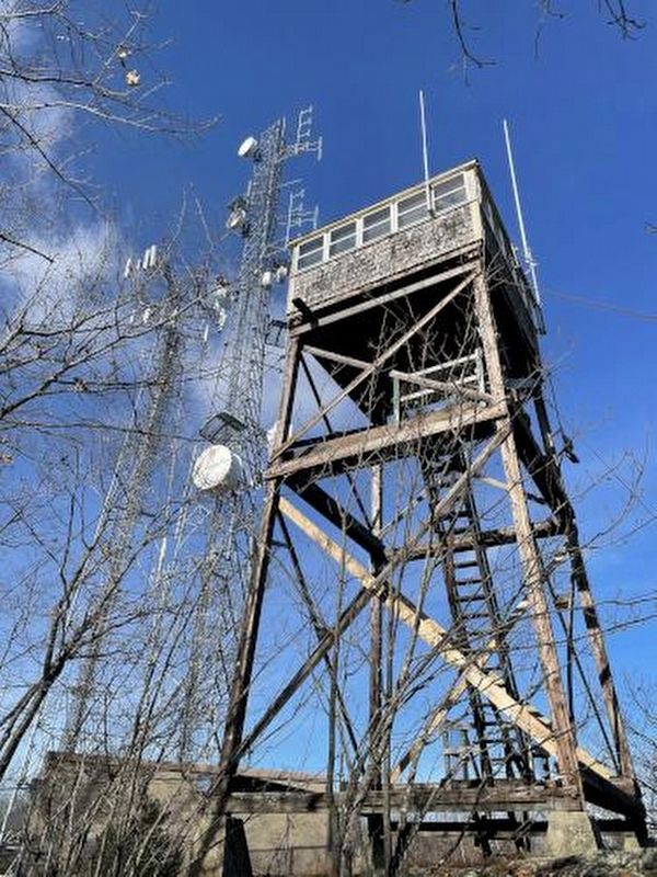
via NH Mountain Hiking, unknown
2. Ossipee Hill Fire Tower Marker

Regionally, this marker is on Southern Maine Coast. It is also in the American Northeast, in New England, and on the Eastern Seaboard. Globally, it is in the North Atlantic Region, North America, the Western Hemisphere, the Western World, and the Anglosphere.
Other nearby markers. At least 8 other markers are within 6 miles of this marker, measured as the crow flies: The David N. Hilton Memorial (here, next to this marker); Mount Hope Fire Tower (a few steps from this marker); St. Aspinquid (about 400 feet away, measured in a direct line); The Littlefield Homestead (approx. 3.7 miles away); David von Schlegell (approx. 5 miles away); Fisherman Christopher L. Linney (approx. 5.2 miles away); Lobster Point Lighthouse (approx. 5.4 miles away); Marginal Way Restoration Monument (approx. 5.4 miles away). Touch for a list and map of all markers in York.
Also see . . . Ossipee Hill Looout. National Historic Lookout Register website entry (Submitted on January 11, 2025, by Larry Gertner of New York, New York.)
Photographed by Larry Gertner, May 11, 2023
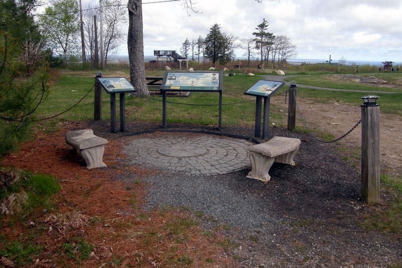
3. Ossipee Hill Fire Tower wayside site
Wayside is to the right.
Photographed by Larry Gertner, May 11, 2023
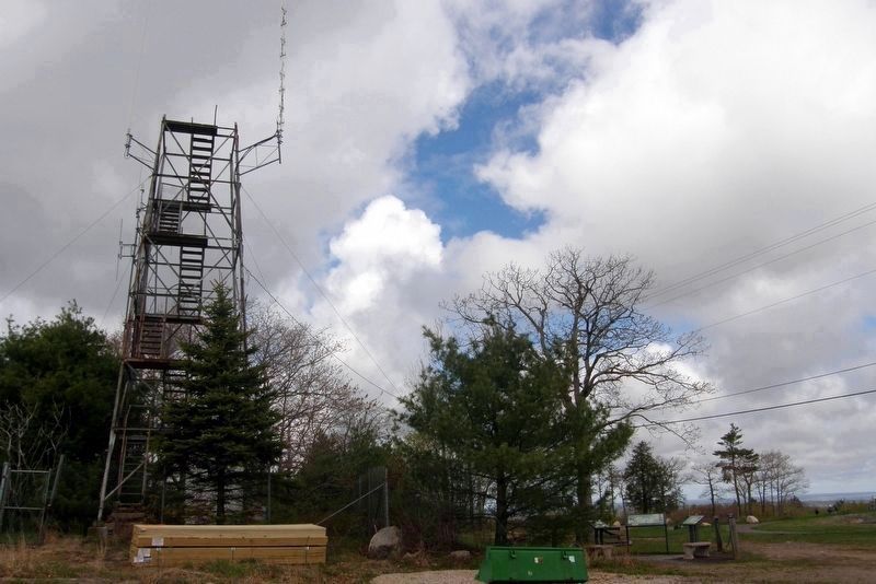
4. Wayside cluster site
at the Mt. Mount Agamenticus tower remains
Credits. This page was last revised on January 11, 2025. It was originally submitted on January 11, 2025, by Larry Gertner of New York, New York. This page has been viewed 263 times since then and 40 times this year. Photos: 1, 2, 3, 4. submitted on January 11, 2025, by Larry Gertner of New York, New York.
