Council Bluffs in Pottawattamie County, Iowa — The American Midwest (Upper Plains)
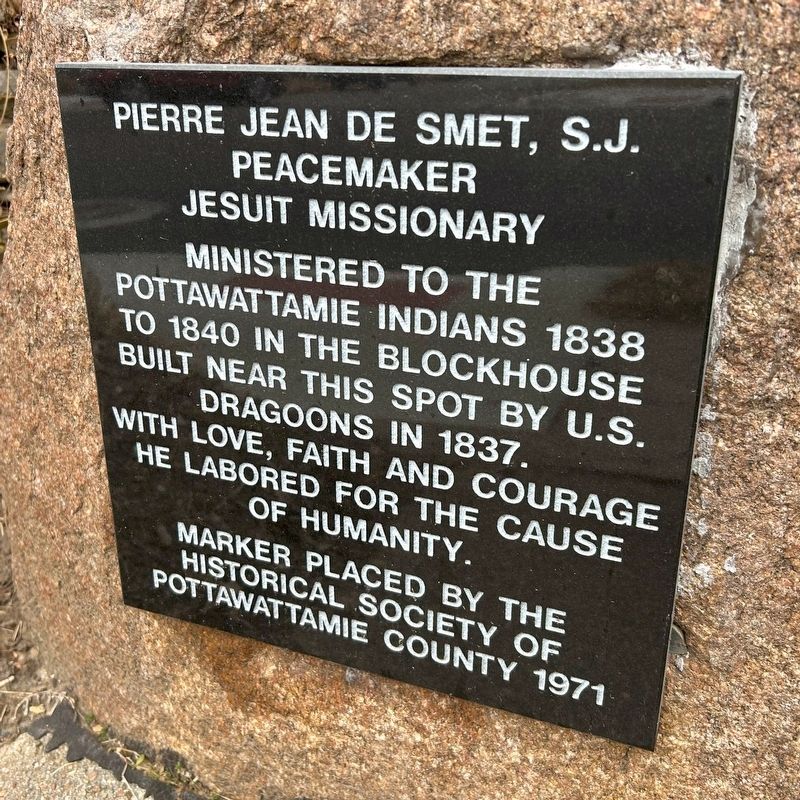
Pierre Jean De Smet, S.J.
Peacemaker
| — | Jesuit Missionary | — |
December 26, 2024
1. Pierre Jean De Smet, S.J. Marker
Erected 1971 by the Historical Society of Pottawattamie County.
Topics. This historical marker is listed in these topic lists: Indigenous Peoples and Communities • Religion & Religious Structures. A significant historical year for this entry is 1838.
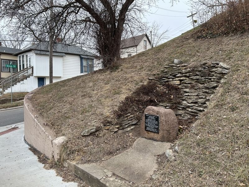
Location. 41° 15.871′ N, 95° 50.399′ W. Marker is in Council Bluffs, Iowa, in Pottawattamie County. It is at the intersection of East Pierce Street and Union Street, on the right when traveling east on East Pierce Street. Touch for map. Marker is in this post office area: Council Bluffs IA 51503, United States of America. Touch for directions.

Regionally, this marker is in Western Iowa, in Loess Hills, and in Greater Omaha. It is also in the American Midwest, in the Lewis & Clark Corridor, and in the Corn Belt. Globally, it is in North America, the Western Hemisphere, the Western World, and the Anglosphere. Historically, it finds itself in what was once the territory of
this page online
Other nearby markers. At least 8 other markers are within walking distance of this marker: First Building in Council Bluffs (within shouting distance of this marker); A March of Faith (about 600 feet away, measured in a direct line); Sarah Allen (about 600 feet away); Fanny Taggart (about 600 feet away); To Untie the Feet of the Twelve (about 600 feet away); Sophronia Standage (about 600 feet away); Reuniting and Reaffirming Faith (about 600 feet away); Elizabeth Hyde (about 600 feet away). Touch for a list and map of all markers in Council Bluffs.
Also see . . . Council Bluffs' First Building - Council Bluffs Revealed | YouTube. (Submitted on January 12, 2025.)
December 26, 2024
2. Pierre Jean De Smet, S.J. Marker
Credits. This page was last revised on January 12, 2025. It was originally submitted on January 12, 2025. This page has been viewed 225 times since then and 34 times this year. Photos: 1, 2. submitted on January 12, 2025.
