Carson City, Nevada — The American Mountains (Southwest)
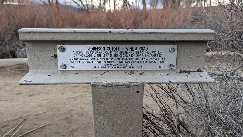
Johnson Cutoff - A New Road
⎯⎯⎯
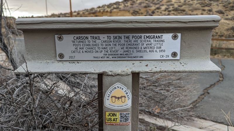
Carson Trail - To Skin the Poor Emigrant
Photographed by Marc Belanger, January 1, 2025
1. Johnson Cutoff - A New Road side of marker
Johnson Cutoff - A New Road
"Strike the river and campt on the bank... near the junction of the roads... The left is the old Carson Road. The right is Johnsons Cut Off a new road... we take the cut off... across the valley to Eagle Ranch 4 miles" - William Gilbert, Sep 22-23, 1853
For guidebook availability
Trails West Inc., www.emigrant trailswest.org
JC-1
Carson Trail - To Skin the Poor Emigrant
"Returned to the... Carson River. There are several trading posts established to skin the poor emigrant of what little he may chance to have left,... we remained & watered our cattle & moved on up the river" - James G. Shields, Aug 6, 1850
For guidebook availability
Trails West Inc., www.emigranttrailswest.org
CR-29
Erected 2017 by Trails West, Inc. (Marker Number JC-1/CR-29.)
Topics and series. This historical marker is listed in these topic lists: Roads & Vehicles • Settlements & Settlers. In addition, it is included in the California Trail, the Kit Carson Trail, and the Trails West Inc. series lists.
Location. 39° 10.948′ N, 119° 42.364′ W. Marker is
this page online

Regionally, this marker is in the Lake Tahoe Basin and in Greater Reno Area. It is also in the American Mountain West. Globally, it is in North America, the Western Hemisphere, the Western World, and the Anglosphere. Historically, it finds itself in what was once New Spain and also Mexico’s Alta California.
Other nearby markers. At least 8 other markers are within 3 miles of this marker, measured as the crow flies: Empire Cemetery (about 700 feet away, measured in a direct line); Empire and the Carson River Mills (approx. 0.3 miles away); Warm Springs Hotel (approx. 2.2 miles away); Blackwell Ponds (approx. 2.2 miles away); Isaac Evan James (approx. 2.7 miles away); Nevada Viet Nam Memorial (approx. 2.7 miles away); Mound House (approx. 3 miles away); Pony Express Route (approx. 3 miles away). Touch for a list and map of all markers in Carson City.
Photographed by Marc Belanger, January 1, 2025
2. Carson Trail - To Skin the Poor Emigrant side of marker
Photographed by Marc Belanger, January 1, 2025
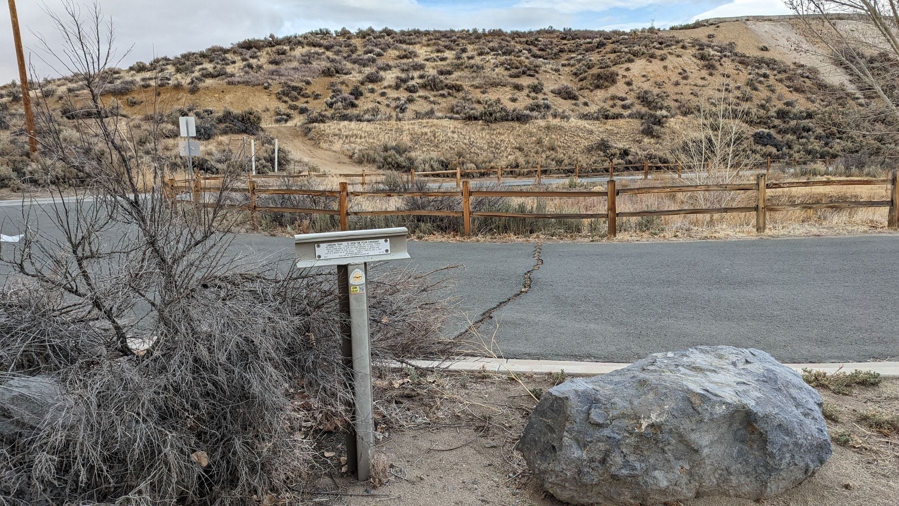
3. View of Marker
Credits. This page was last revised on January 17, 2025. It was originally submitted on January 13, 2025, by Marc Belanger of Reno, Nevada. This page has been viewed 309 times since then and 52 times this year. Photos: 1, 2, 3. submitted on January 13, 2025, by Marc Belanger of Reno, Nevada. • Andrew Ruppenstein was the editor who published this page.
