
New Buffalo in Berrien County, Michigan — The American Midwest (Great Lakes)
Eisenhower Interstate System

Photographed by M. Bowyer, July 9, 2007
1. Eisenhower Interstate System Marker
During the presidency (1953–1961) of Dwight D. Eisenhower, the 34th President of the United States, the National System of Interstate and Defense highways was finalized and signed into law. Gaining support for the Interstate Highway System required foresight and courage by President Eisenhower as he committed the Nation to an intensive program of road building.
This unprecedented public works project provided for high-speed highway facilities to connect major population centers throughout the United States. Much of the economic growth enjoyed by the United States can be directly attributed to the Interstate Highway System.
The mobility and safety enjoyed by motorists today are a direct result of President Eisenhower’s leadership and vision of the future.
Topics and series. This historical marker is listed in this topic list: Roads & Vehicles. In addition, it is included in the Former U.S. Presidents: #34 Dwight D. Eisenhower series list.
Location. 41° 45.904′ N, 86° 44.444′ W. Marker is in New Buffalo, Michigan, in Berrien County. It is on Interstate 94. The Welcome
this page online

Regionally, this marker is in Southwest Michigan and specifically in one of the Lake Michigan Shore counties. It is also in the American Midwest. Globally, it is in North America, on the Great Lakes, in the Western Hemisphere, in the Western World, and in the Anglosphere. Historically, it finds itself in what was once the Viceroyalty of New France and also the Northwest Territory.
Other nearby markers. At least 8 other markers are within 3 miles of this marker, measured as the crow flies: The Iron Brigade / The Twenty-Fourth Michigan Volunteer Infantry Regiment (here, next to this marker); Bicentennial Veterans Memorial (here, next to this marker); New Buffalo Welcome Center (a few steps from this marker); Michigan Lighthouses (within shouting distance of this marker); Avoiding Removal - The Pokagon Band of Potawatomi (approx. 2.2 miles away); The Importance of Water for Neshnabék (approx. 2.4 miles away); 9:03 a.m. September 11th 2001
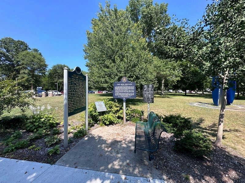
Photographed by J.T. Lambrou
2. Eisenhower Interstate System Marker
Another marker is no longer nearby. West Michigan Pike (was approx. 2.4 miles away but has been confirmed missing).
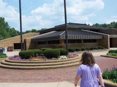
Photographed by M. Bowyer, July 9, 2007
3. The Welcome Center
Credits. This page was last revised on January 18, 2025. It was originally submitted on July 9, 2007, by M. Bowyer of Indianapolis, Indiana. This page has been viewed 2,417 times since then and 30 times this year. Last updated on January 18, 2025, by Trevor L Whited of Kokomo, Indiana. Photos: 1. submitted on July 9, 2007, by M. Bowyer of Indianapolis, Indiana. 2. submitted on October 6, 2024, by J.T. Lambrou of New Boston, Michigan. 3. submitted on July 9, 2007, by M. Bowyer of Indianapolis, Indiana. • J. Makali Bruton was the editor who published this page.
