Peru in Miami County, Indiana — The American Midwest (Great Lakes)
Wabash River Bridge
From Canal Town To Railroad Hub
Photographed by Trevor L Whited, September 7, 2024
1. Wabash River Bridge Marker
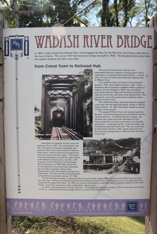
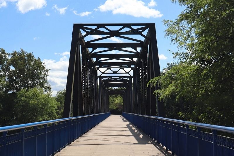
In 1854 a train crossed the Wabash River and chugged into Peru for the first time, launching a vital part of the town's history. The current 587-foot long truss bridge was built in 1940. The limestone block piers from the original structure are still in use today.
The arrival of that first train, the Peru and Indianapolis Railroad, would be a turning point in Peru's importance as a transportation hub to this day-a hub in which rail cars and water craft would share leading roles at different times. The context for Peru's rich history of transportation started in 1816, when Indiana became a state. Native Americans still occupied the unsettled northern portion of Indiana, but that changed in 1829, when the federal government signed a treaty with the Native Americans to cede the land on the north bank of the Wabash River. This opened the way for the government to build the historic Wabash and Erie Canal. New settlements began sprouting along the proposed canal route, the first being Miamisport, platted in 1829 by Joseph Holman. By 1832, Miamisport needed to expand it looked west for growth This angered William Hood, who owned property to the east. Hood hired engineers from the Wabash and Erie Canal to plat Peru. He offered free lots to people and churches who would move from Miamisport to Peru. Hood wanted Peru to be the county seat, so he donated property for a courthouse and jail. A vote was taken, and the electorate granted Hood's wish. The vote would lead to Miamisport's demise in 1841 and be a forerunner of Peru becoming incorporated in 1848 and later, the Miami County seat. Meanwhile, the Wabash and Erie canal was opened to Peru in 1837. The canal played a key role in the growth of Indiana's population and economy. Next, Indiana borrowed $10 million to build canals, roads
this page online
Erected by Nickle
Photographed by Trevor L Whited, September 7, 2024
2. Wabash River Bridge Marker
Topics. This historical marker is listed in these topic lists: Bridges & Viaducts • Railroads & Streetcars • Waterways & Vessels. A significant historical year for this entry is 1854.
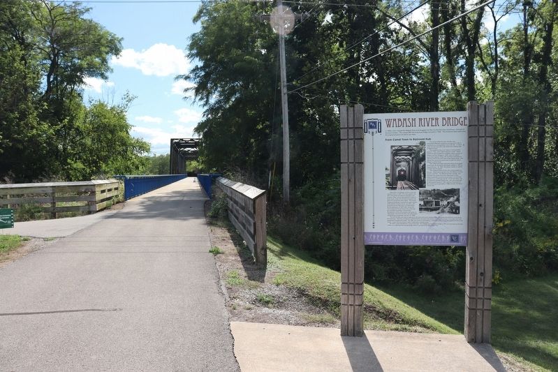
Location. 40° 44.577′ N, 86° 5.689′ W. Marker is in Peru, Indiana, in Miami County. It can be reached from West Main Street. Marker is on the Nickle Plate Trail south of Main street and north of the Wabash River. Touch for map. Marker is in this post office area: Peru IN 46970, United States of America. Touch for directions.

Regionally, this marker is in Northern Indiana. It is also in the American Midwest and in the Corn Belt. Globally, it is in North America, the Western Hemisphere, the Western World, and the Anglosphere. Historically, it finds itself in what was once the territory of the Mississippian Culture and also the Northwest Territory.
Other nearby markers. At least 8 other markers are within 2 miles of this marker, measured as the crow flies: Cole Porter’s Birthplace (approx. 0.2 miles away); "Circus City" (approx. 0.2 miles away); History of the Wabash River Corridor (approx. 1.1 miles away); Marie Stuart Edwards
Photographed by Trevor L Whited, September 7, 2024
3. Wabash River Bridge
Photographed by Trevor L Whited, September 7, 2024
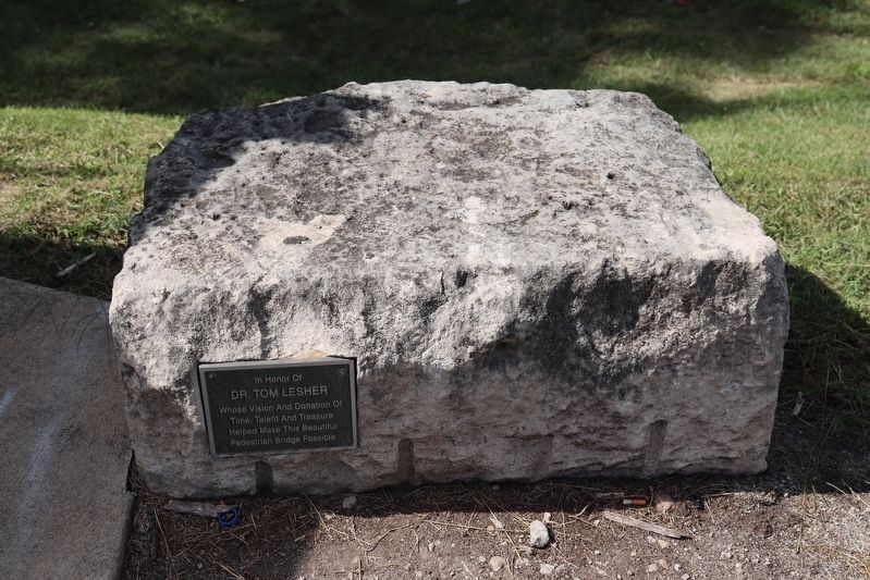
4. Nearby Dr. Tom Lesher Dedicatory Tablet and Stone
Dr. Lesher assisted in the bridge's transformation into a pedestrian bridge.
Credits. This page was last revised on February 13, 2025. It was originally submitted on January 19, 2025, by Trevor L Whited of Kokomo, Indiana. This page has been viewed 181 times since then and 56 times this year. Photos: 1, 2, 3, 4. submitted on January 19, 2025, by Trevor L Whited of Kokomo, Indiana. • J. Makali Bruton was the editor who published this page.
