
Social Circle in Newton County, Georgia — The American South (South Atlantic)
Trail of the Stage Coach Cross Roads
Photographed by Darren Jefferson Clay, January 19, 2025
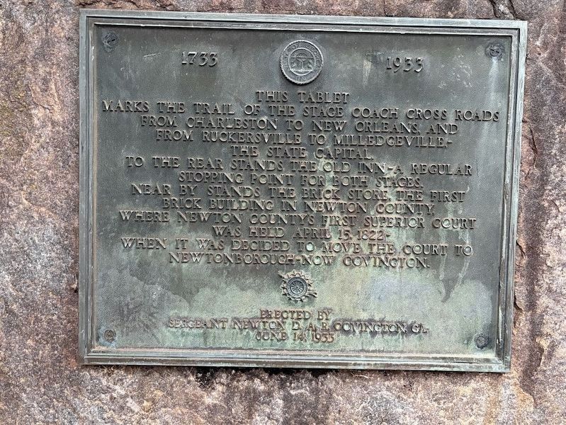
1. Trail of the Stage Coach Cross Roads Marker
This tablet marks the trail of the stage coach cross roads from Charleston to New Orleans, and from Ruckersville to Milledgeville - the state capital.
To the rear stands the old inn-a regular stopping point for both stages. Near by stands the brick store, the first brick building in Newton County, where Newton County's first superior court was held April 15, 1822—when it was decided to move the court to Newtonborough—now Covington.
Erected 1933 by Sergeant Newton Daughters of the American Revolution (DAR), Covington, GA.
Topics and series. This historical marker is listed in these topic lists: Industry & Commerce • Roads & Vehicles. In addition, it is included in the Daughters of the American Revolution (DAR) series list.
Location. 33° 36.104′ N, 83° 44.698′ W. Marker is in Social Circle, Georgia, in Newton County. It is on U.S. 278 west of Old Social Circle Road, on the right when traveling west. Touch for map. Marker is at or near this postal address: 12901 US-278, Social Circle GA 30025, United States of America. Touch for directions.

Regionally, this
this page online
Other nearby markers. At least 8 other markers are within 4 miles of this marker, measured as the crow flies: Brick Store (a few steps from this marker); a different marker also named Brick Store (within shouting distance of this marker); Sherman at Harris’ Quarters (approx. 3 miles away); The March to the Sea (approx. 3.9 miles away); The Church Bell (approx. 3.9 miles away); Dr. Brown's Townhouse (approx. 3.9 miles away); In Memory of Emma Sansom (approx. 4 miles away); Hightower Trail (approx. 4.1 miles away). Touch for a list and map of all markers in Social Circle.
Photographed by Darren Jefferson Clay, January 19, 2025
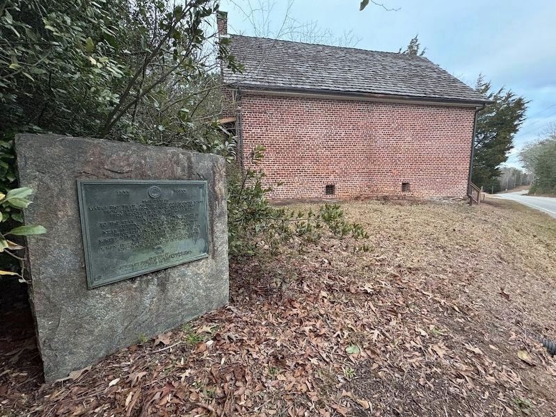
2. Trail of the Stage Coach Cross Roads Marker
Credits. This page was last revised on February 8, 2025. It was originally submitted on January 21, 2025, by Darren Jefferson Clay of Duluth, Georgia. This page has been viewed 212 times since then and 46 times this year. Photos: 1, 2. submitted on January 21, 2025, by Darren Jefferson Clay of Duluth, Georgia. • Bernard Fisher was the editor who published this page.
