Waynesville in Warren County, Ohio — The American Midwest (Great Lakes)
Friends Burial Ground
Photographed by William Fischer, Jr., December 6, 2009
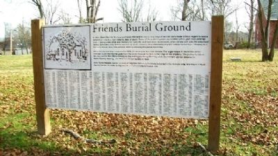
1. Friends Burial Ground Marker
In 1804, Miami Monthly Meeing purchased this land to use as a graveyard. Burials were made without regard to status or family association, but rather by date of death. Some of the earliest graves are marked with a plain rock obtained from a nearby creek while later markers are typically small limestone headstones, often carved with only the individuals' names (sometimes only initials) and date of death. There is also a Revolutionary War soldier buried here, showing that the early Friends were tolerant even while maintinaing the peace testimony.
When the two meetings separated in 1828, the graveyard was also divided. The sugar maple in the middle of the cemetery is on the line that goes from the street through the tree to the edge of the property. The portion between this line and the Red Brick belongs to the Wilmington Yearly Meeting, while the western portion belongs to Miami Monthly Meeting. The Hicksites began burials in 1832.
John Satterwhite, builder of many of Waynesville's early buildings is buried in the Hicksite side, and Abijah O'Neall, the first Quaker to come to Waynesville is buried in the Orthodox side.
Topics.
this page online
Location. 39° 31.818′ N, 84° 5.492′ W. Marker is in Waynesville, Ohio, in Warren County. It is at the intersection of High Street and 4th Street, on the left when traveling west on High Street. Marker is in the middle of the graveyard. Touch for map. Marker is in this post office area: Waynesville OH 45068, United States of America. Touch for directions.

Regionally, this marker is in Greater Cincinnati and in the Miami Valley. It is also in the American Midwest and in the Corn Belt. Globally, it is in North America, the Western Hemisphere, the Western World, and the Anglosphere. Historically, it finds itself in what was once the Haudenosaunee (Iroquois) Confederacy, the territory of the Mississippian Culture, and the Northwest Territory.
Other nearby markers. At least 8 other markers are within 5 miles of this marker, measured as the crow flies: Mary's Ghost
Photographed by William Fischer, Jr., December 6, 2009
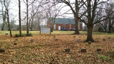
2. Friends Burial Ground Marker
Looking southeast.
Also see . . . Museum at the Friends Home. (Submitted on January 16, 2010, by William Fischer, Jr. of Reynoldsburg, Ohio.)
Photographed by William Fischer, Jr., December 6, 2009
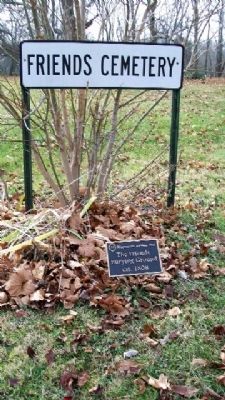
3. Friends Burial Ground Markers
Photographed by William Fischer, Jr., December 6, 2009
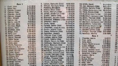
4. Friends Burial Ground Marker Sample Names
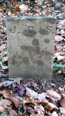
Photographed by William Fischer, Jr., December 6, 2009
5. John D. Satterwhite Grave Marker
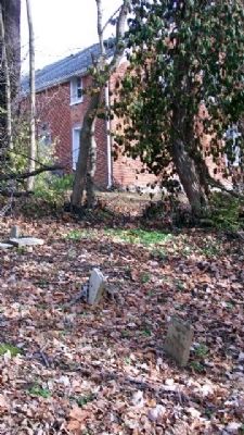
Photographed by William Fischer, Jr., December 6, 2009
6. John D. Satterwhite Grave Marker
Along eastern boundary of graveyard.
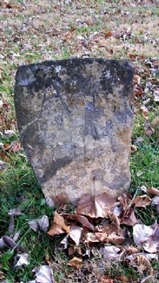
Photographed by William Fischer, Jr., December 6, 2009
7. Fieldstone Grave Marker
Initial "A" clearly shows.
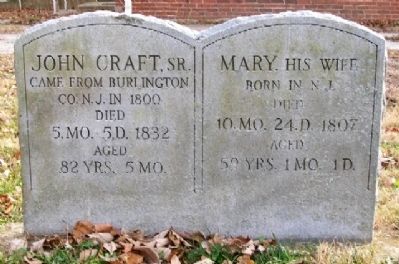
Photographed by William Fischer, Jr., December 6, 2009
8. John Craft Grave Marker
First burial in cemetery; probable replacement marker.
Photographed by William Fischer, Jr., December 6, 2009
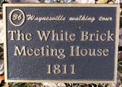
9. The White Brick Meeting House 1811 Marker
Photographed by William Fischer, Jr., December 6, 2009
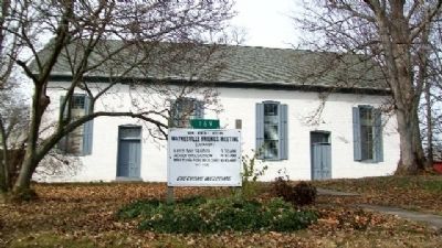
10. Friends Meetinghouse (c.1811)
169 S. 4th Street (across Main Street, northeast of graveyard).
Photographed by William Fischer, Jr., December 6, 2009
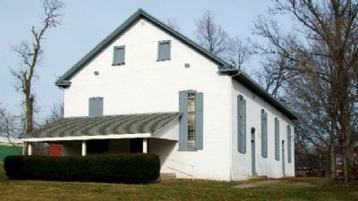
11. Friends Meetinghouse (c.1811)
169 S. 4th Street (across Main Street, northeast of graveyard).
Photographed by William Fischer, Jr., December 6, 2009
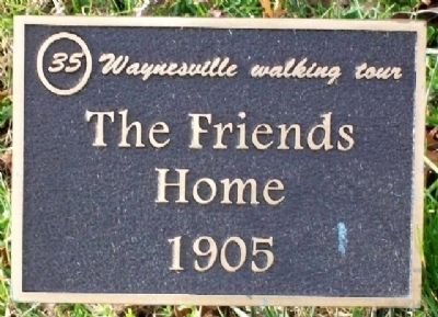
12. The Friends Home 1905 Marker
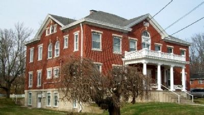
Photographed by William Fischer, Jr., December 6, 2009
13. Friends Home, c.1905
115 South 4th Street.
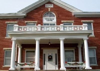
Photographed by William Fischer, Jr., 115 South
14. Friends Home, c.1905
115 South 4th Street.
Credits. This page was last revised on June 16, 2016. It was originally submitted on January 16, 2010, by William Fischer, Jr. of Reynoldsburg, Ohio. This page has been viewed 2,040 times since then and 38 times this year. Photos: 1, 2, 3, 4, 5, 6, 7, 8, 9, 10, 11, 12, 13, 14. submitted on January 16, 2010, by William Fischer, Jr. of Reynoldsburg, Ohio.
