
Near Mora in Morgan County, Missouri — The American Midwest (Upper Plains)
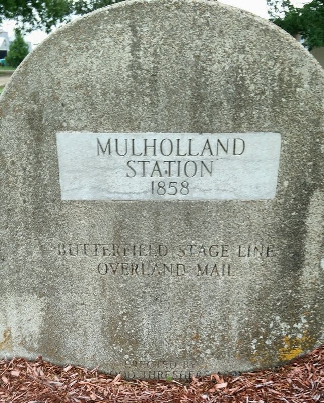
Mulholland Station
1858
Photographed by Brent Hugh, July 8, 2019
1. Mulholland Station 1858 Marker
Overland Mail
Erected by Drywood Threshers Association, Sheldon Missouri.
Topics and series. This historical marker is listed in these topic lists: Communications • Roads & Vehicles. In addition, it is included in the Butterfield Overland Mail series list. A significant historical year for this entry is 1858.
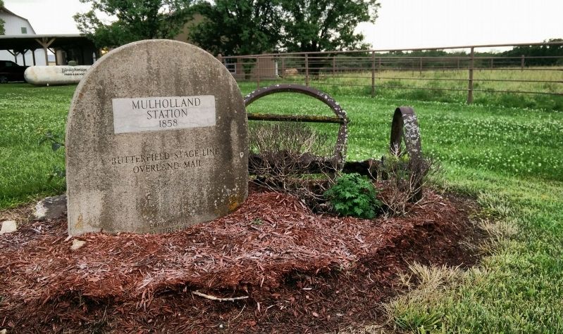
Location. 38° 33.895′ N, 93° 1.434′ W. Marker is near Mora, Missouri, in Morgan County. It is on Butterfield Trail 0.1 miles east of Ehlers Road, on the right when traveling east. The marker is just on the west side of the driveway, in a small bed maintained by the nearby landowner. Touch for map. Marker is at or near this postal address: 2482 Butterfield Trail, Stover MO 65078, United States of America. Touch for directions.

Regionally, this marker is in the Missouri River Corridor. It is also in the American Midwest, in the Lewis & Clark Corridor, and in the Corn Belt. Globally, it is in North America, the Western Hemisphere, the Western World, and the Anglosphere. Historically, it finds itself in what was once the territory of the Mississippian Culture, the Louisiana
this page online
Other nearby markers. At least 8 other markers are within 15 miles of this marker, measured as the crow flies: Butterfield Overland Mail in Missouri - 1858-1861 (approx. 10.9 miles away); Morgan County (approx. 13½ miles away); Morgan County Courthouse (approx. 13½ miles away); The History of the Johnny Appleseed Tree (approx. 13.6 miles away); Rise and Fall of the Osage Empire (approx. 13.8 miles away); History of Clifton City (approx. 13.8 miles away); History of Sedalia (approx. 14½ miles away); Sedalia Points of Interest (approx. 14½ miles away).
More about this marker. This series of stones commemorating the Butterfield Overland Stage route through Missouri were placed by the Drywood Threshers Association of Sheldon, Missouri, in about the 1920s - presumably in celebration of the 50th anniversary of the Butterfield Stage.
They placed a stone as near the exact location of each Butterfield station as possible.
Later, in 1958 - the centennial of the Butterfield Overland Stage - the Missouri State Historical Association also placed markers. Their markers are cast metal and placed in a
Photographed by Brent Hugh, July 8, 2019
2. Mulholland Station 1858 Marker
Related markers. Click here for a list of markers that are related to this marker.
Additional keywords. National Historic Trail, stagecoach
Credits. This page was last revised on February 14, 2025. It was originally submitted on January 24, 2025, by Brent Hugh of Raytown, Missouri. This page has been viewed 220 times since then and 43 times this year. Photos: 1, 2. submitted on January 24, 2025, by Brent Hugh of Raytown, Missouri. • Devry Becker Jones was the editor who published this page.
