San Saba in Roma in Città metropolitana di Roma Capitale, Latium, Rome, Italy — Central Italy (Tyrrhenian Coast)
I Percorsi, I Sotterranei, Gli Impianti Idraulici
The Passageways, the Undergrounds, and the Water System
Photographed by James Hulse, February 27, 2024
1. I Percorsi, I Sotterranei, Gli Impianti Idraulici Marker

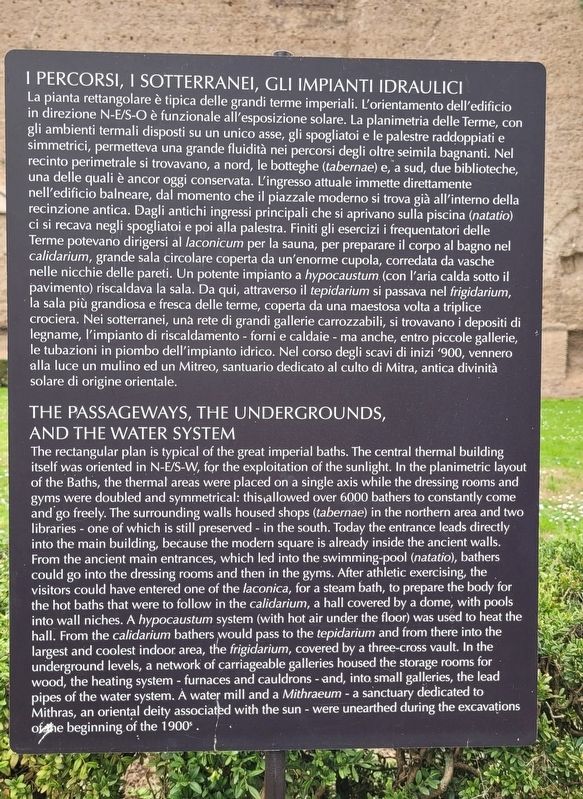
I Percorsi, I Sotterranei, Gli Impianti Idraulici
La pianta rettangolare è tipica delle grandi terme imperiali. L'orientamento dell'edificio in direzione N-E/S-O è funzionale all'esposizione solare. La planimetria delle Terme, con gli ambienti termali disposti su un unico asse, gli spogliatoi e le palestre raddoppiati e simmetrici, permetteva una grande fluidità nei percorsi degli oltre seimila bagnanti. Nel recinto perimetrale si trovavano, a nord, le botteghe (tabernae) e, a sud, due biblioteche, una delle quali è ancor oggi conservata. L'ingresso attuale immette direttamente nell'edificio balneare, dal momento che il piazzale moderno si trova già all'interno della recinzione antica. Dagli antichi ingressi principali che si aprivano sulla piscina (natatio) ci si recava negli spogliatoi e poi alla palestra. Finiti gli esercizi i frequentatori delle Terme potevano dirigersi al laconicum per la sauna, per preparare il corpo al bagno nel calidarium, grande sala circolare coperta da un'enorme cupola, corredata da vasche nelle nicchie delle pareti. Un potente impianto a hypocaustum (con l'aria calda sotto
this page online
The Passageways, the Undergrounds, and the Water System
The rectangular plan is typical of the great imperial baths. The central thermal building itself was oriented in N-E/S-W, for the exploitation of the sunlight. In the planimetric layout of the Baths, the thermal areas were placed on a single axis while the dressing rooms and gyms were doubled and symmetrical: this allowed over 6000 bathers to constantly come and go freely. The surrounding walls housed shops (tabernae) in the northern area and two libraries - one of which is still preserved - in the south.
Photographed by James Hulse, February 27, 2024
2. I Percorsi, I Sotterranei, Gli Impianti Idraulici Marker
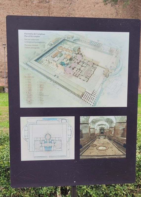
Diagrams of the floorplans of the Baths of Caracalla
Topics. This historical marker
Photographed by James Hulse, February 27, 2024
3. I Percorsi, I Sotterranei, Gli Impianti Idraulici Marker
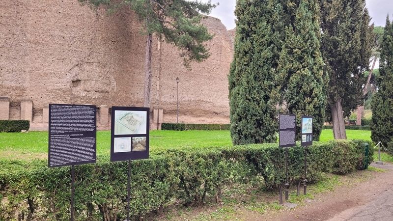
The marker is located on the left side of the markers.
Location. 41° 52.823′ N, 12° 29.522′ E. Marker is in Roma, Lazio (Latium, Rome), in Città metropolitana di Roma Capitale. It is in San Saba. It is at the intersection of Viale delle Terme di Caracalla and Via Antonina on Viale delle Terme di Caracalla. The marker is located on the grounds to the Baths of Caracalla. Touch for map. Marker is in this post office area: Roma, Lazio 00153, Italy. Touch for directions.

Regionally, it is in Europe, the European Union, the Schengen Area, a coastal Mediterranean country, and the Western World. Historically, it finds itself in what was once the Roman Empire.
Other nearby markers. At least 8 other markers are within walking distance of this marker: Le Decorazioni e le Opere D'arte / The Decorations and Works of Art (here, next to this marker); La Storia e il Contesto Urbano / The History of the Site and the Urban Context (here, next to this marker); Terme di Caracalla - Rovine Attuali / Caracalla`s Baths - Actual Ruins (within shouting distance of this marker); Terme di Caracalla - Ricostruzione / Caracalla`s Baths - Reconstruction
Photographed by James Hulse, February 27, 2024
4. I Percorsi, I Sotterranei, Gli Impianti Idraulici Marker
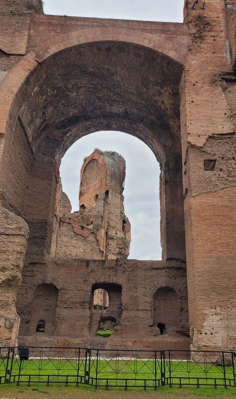
One of the arches of the Baths of Caracalla.
More about this marker. There is a small entry fee to visit the Baths of Caracalla.
Also see . . . Baths of Caracalla. Wikipedia
The Baths of Caracalla (Italian: Terme di Caracalla) in Rome, Italy, were the city's second largest Roman public baths, or thermae, after the Baths of Diocletian. The baths were likely built between AD 212 (or 211) and 216/217, during the reigns of emperors Septimius Severus and Caracalla. They were in operation until the 530s and then fell into disuse and ruin.(Submitted on January 28, 2025, by James Hulse of Medina, Texas.)
Photographed by James Hulse, February 27, 2024
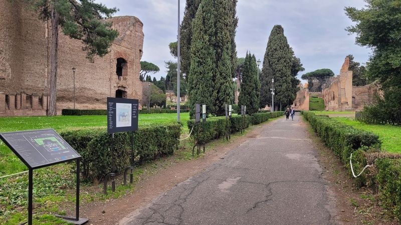
5. The view of the markers along the pathway
The marker is the second marker from the far right of the group of markers.
Credits. This page was last revised on January 29, 2025. It was originally submitted on January 28, 2025, by James Hulse of Medina, Texas. This page has been viewed 95 times since then and 10 times this year. Photos: 1, 2, 3, 4, 5. submitted on January 29, 2025, by James Hulse of Medina, Texas.
