
Waverly in Humphreys County, Tennessee — The American South (East South Central)
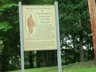
Welcome to Fort Waverly & The Humphreys County and Civil War Museum
Photographed by Don Morfe, July 24, 2013
1. Fort Waverly & The Humphreys County and Civil War Museum Marker
The Humpreys County and Civil War Museum houses a collection that reflects the rich heritage of the county. The museum stands as an important repository of items of local interest, prehistoric Native American artifacts and a special collection interpreting the role of the Civil War in the county and surrounding area.
Topics. This historical marker is listed in these topic lists: Forts and Castles • War, US Civil. A significant historical year for this entry is 1863.
Location. 36° 4.852′ N, 87° 47.543′ W. Marker is in Waverly, Tennessee, in Humphreys County. It can be reached from Fort Hill Road 0.2
this page online

Regionally, this marker is in Middle Tennessee and in the Highland Rim. It is also in the American South and specifically in the Upper South. Globally, it is in North America, the Western Hemisphere, the Western World, and the Anglosphere. Historically, it finds itself in what was once the territory of the Mississippian Culture, one of the Confederate States of America, and the Antebellum South.
Other nearby markers. At least 8 other markers are within walking distance of this marker: Fort Hill at Waverly (within shouting distance of this marker); Fort Waverly (within shouting distance of this marker); The Butterfield House (within shouting distance of this marker); Fort Hill (about 700 feet away, measured in a direct line); Battle of Johnsonville (approx. 0.2 miles away); Reynoldsburg (approx. 0.2 miles away); Humphreys County (approx. 0.2 miles away); Humphreys County War Memorial (approx.
Photographed by Don Morfe, July 24, 2013
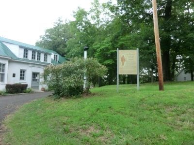
2. Fort Waverly & The Humphreys County and Civil War Museum
Photographed by Darren Jefferson Clay, January 4, 2025
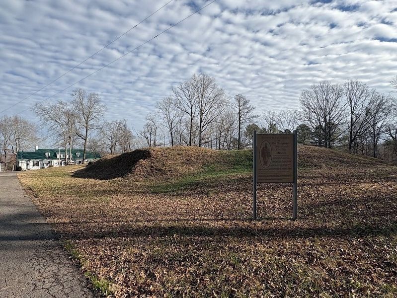
3. Welcome to Fort Waverly & The Humphreys County and Civil War Museum Marker
Credits. This page was last revised on January 31, 2025. It was originally submitted on September 30, 2013, by Don Morfe of Baltimore, Maryland. This page has been viewed 1,868 times since then and 95 times this year. Last updated on January 31, 2025, by Darren Jefferson Clay of Duluth, Georgia. Photos: 1, 2. submitted on September 30, 2013, by Don Morfe of Baltimore, Maryland. 3. submitted on January 31, 2025, by Darren Jefferson Clay of Duluth, Georgia. • James Hulse was the editor who published this page.
