New Castle in Craig County, Virginia — The American South (Mid-Atlantic)
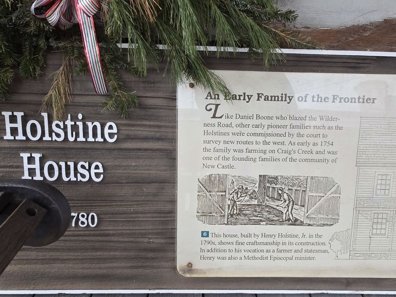
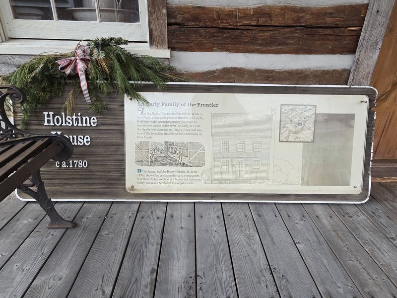
Holstine House
Ca. 1780
| — | An Early Family of the Frontier | — |
Photographed by Mark Parker, January 31, 2025
1. Holstine House Marker
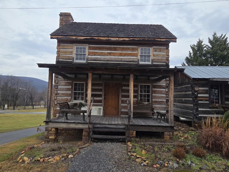
This house, built by Henry Holstine, Jr. in the 1790s, shows fine craftsmanship in its construction. In addition to his vocation as a farmer and statesman, Henry was also a Methodist Episcopal minister.
Topics. This historical marker is listed in these topic lists: Colonial Era • Settlements & Settlers. A significant historical year for this entry is 1754.
Location. 37° 30.245′ N, 80° 6.565′ W. Marker is in New Castle, Virginia, in Craig County. It is at the intersection of Court Street and Market Street (County Route 615), on the right when traveling west on Court Street. The display is on the porch to the left of the cabin entrance. Touch for map. Marker is at or near this postal address: 141 Court St, New Castle VA 24127, United States of America. Touch for directions.

Regionally, this marker is in the Mountain Region and in
this page online
Other nearby markers. At least 8 other markers are within 8 miles of this marker, measured as the crow flies: Craig County World War Memorial (within shouting distance of this marker); Craig County World War II Memorial (within shouting distance of this marker); Craig County Veterans Monument (within shouting distance of this marker); Craig County Confederate Monument (within shouting distance of this marker); Revolutionary War Patriots (within shouting distance of this marker); New Castle (approx. 0.3 miles away); Craig Valley Branch Railroad (approx. 0.6 miles away); Great Eastern Divide (approx. 7.1 miles away). Touch for a list and map of all markers in New Castle.
Photographed by Mark Parker, January 31, 2025
2. Full Holstine House Marker
Photographed by Mark Parker, January 31, 2025
3. Full view of Holstine House. Marker is on the porch to the left of the entrance.
Credits. This page was last revised on April 25, 2026. It was originally submitted on January 31, 2025, by Mark Parker of Hickory, North Carolina. This page has been viewed 168 times since then and 25 times this year. Photos: 1, 2, 3. submitted on January 31, 2025, by Mark Parker of Hickory, North Carolina. • Bernard Fisher was the editor who published this page.
