Remington in Baltimore, Maryland — The American Northeast (Mid-Atlantic)
23rd St
| — | Ghost Runs | — |
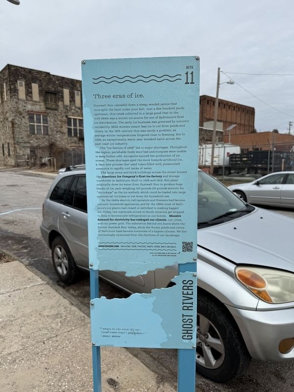
Three eras of ice.
Sumwalt Run cascaded down a steep, wooded ravine that once split the land under your feet. Just a few hundred yards upstream, this creek collected in a large pond that in the mid-1800s was a winter ice source for one of Baltimore’s first ice distributors. The early ice business was governed by nature’s variability. Mild winters meant less ice to cut from ponds and rivers. In the 19th century this was rarely a problem, as average winter temperatures lingered close to freezing. But in 1906, an exceptionally warm year wreaked havoc across the east coast ice industry.
The "ice famine of 1906" led to major shortages. Across the region, perishable foods went bad and morgues were unable to keep bodies cold. Annapolis banned the production of ice cream. These shortages sped the move towards artificial ice, a then-new process that used tubes filled with pressurized ammonia to rapidly cool tanks of water.
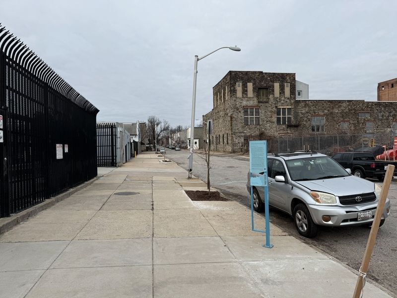
The large stone and brick buildings between 23rd and 24th Streets housed the American Ice Company’s first ice factory and storage warehouse in Baltimore. Built in 1905 and 1919, this plant originally
this page online
By the 1940s electric refrigerators and freezers had become common household appliances, and by the 1980s most of Baltimore’s ice plants had closed or switched to making bagged ice. Today, raw materials mined in South America get shipped to Asia to become new refrigerators in our homes. Massive demand for electricity has reshaped our climate, our cities, and our power grid. The substation behind you hums above the former Sumwalt Run valley, while the frozen ponds and rivers of Baltimore have become memories of a bygone climate. We live increasingly unmoored from the rhythms of our landscape.
"I wanna be like water if I can,
'cause water doesn't give a damn."
— David C. Berman
Erected by Greater Remington Improvement Association. (Marker Number 11.)
Topics. This historical marker is listed in these topic lists: Industry & Commerce • Natural Resources • Waterways & Vessels. A significant historical year for this entry is 1906.
Location. 39° 18.904′ N,


Regionally, this marker is in Central Maryland. It is also in the American Mid-Atlantic, in the Chesapeake Bay Region, and on the Eastern Seaboard. Globally, it is in the North Atlantic Region, North America, the Western Hemisphere, the Western World, and the Anglosphere. Historically, it finds itself in what was once one of the original Thirteen Colonies and also the Antebellum South.
Other nearby markers. At least 8 other markers are within walking distance of this marker: 24th St (about 400 feet away, measured in a direct line); Falls Rd (approx. 0.2 miles away); A Relic of Baltimore's Cable Car Era (approx. 0.2 miles away); 26th St (approx. ¼ mile away); Goucher Hall (approx. ¼ mile away); First Methodist Episcopal Church (approx. 0.3 miles away); Lorraine Ave (approx. 0.3 miles away); 27th St (approx. 0.3
Credits. This page was last revised on February 2, 2025. It was originally submitted on February 2, 2025, by Devry Becker Jones of Washington, District of Columbia. This page has been viewed 113 times since then and 22 times this year. Photos: 1, 2, 3. submitted on February 2, 2025, by Devry Becker Jones of Washington, District of Columbia.
