Urbanna in Middlesex County, Virginia — The American South (Mid-Atlantic)
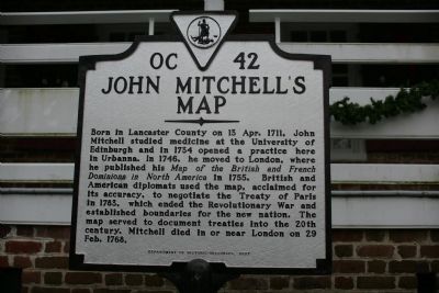
John Mitchell’s Map
Erected 2007 by Department of Historic Resources. (Marker Number OC-42.)
Topics and series. This historical marker is listed in these topic lists: Arts, Letters, Music • Colonial Era • Science & Medicine • Settlements & Settlers • War, US Revolutionary. In addition, it is included in the Virginia Department of Historic Resources (DHR) series list. A significant historical date for this entry is February 29, 1768.
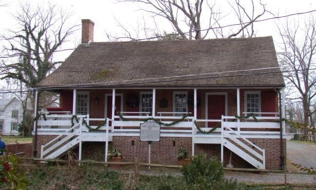
Location. 37° 38.196′ N, 76° 34.39′ W. Marker is in Urbanna, Virginia, in Middlesex County. Marker is at the intersection of Old Virginia Street and Cross Street (Virginia Route 227), on the right when traveling east on Old Virginia Street . Touch for map. Marker is in this post office area: Urbanna VA 23175, United States of America. Touch for directions.
Other nearby markers. At least 8 other markers are within walking distance of this marker. Urbanna Museum & Visitors Center (here, next to this marker); Old Tobacco Warehouse (here, next to this marker); Tobacco Road (here, next to this marker); A Hub For Commerce (a few steps from this marker); Tobacco Was Money (a few steps from this marker); Prettyman’s Rolling Road (a few steps from this marker); The Backyard Garden Was Essential (within shouting distance of this marker); Sandwich (within shouting distance of this marker). Touch for a list and map of all markers in Urbanna.
Credits. This page was last revised on December 25, 2019. It was originally submitted on January 17, 2010, by Tom Fuchs of Greenbelt, Maryland. This page has been viewed 1,056 times since then and 38 times this year. Photos: 1. submitted on January 17, 2010, by Tom Fuchs of Greenbelt, Maryland. 2. submitted on January 24, 2010, by J. J. Prats of Powell, Ohio.

