Danville, Virginia — The American South (Mid-Atlantic)
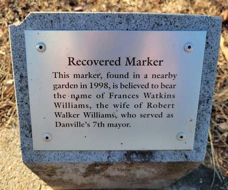
Recovered Marker
Photographed by C. Ryan Dodson, December 23, 2024
1. Recovered Marker Marker
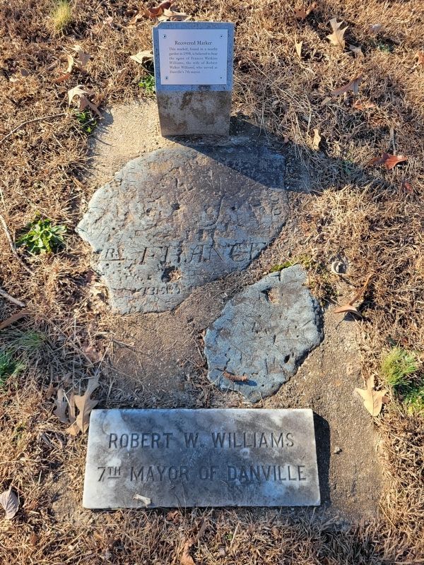
This marker, found in a nearby garden in 1998, is believed to bear the name of Frances Watkins Williams, the wife of Robert Walker Williams, who served as Danville's 7th Mayor.
Erected 2000 by Garden Club of Danville.
Topics. This historical marker is listed in this topic list: Cemeteries & Burial Sites. A significant historical year for this entry is 1998.
Location. 36° 34.955′ N, 79° 24.103′ W. Marker is in Danville, Virginia. It is on Grove Street near Chambers Street, on the left when traveling east. Touch for map. Marker is at or near this postal address: 940 Grove Street, Danville VA 24541, United States of America. Touch for directions.

Regionally, this marker is in Southside Virginia and specifically in Central Virginia. It is also in the American South and specifically in the Upper South. Globally, it is in North America, the Western Hemisphere, the Western World, and the Anglosphere. Historically, it finds itself in what was once the territory of the Mississippian Culture, one of the original Thirteen Colonies, one of the Confederate States of America, and the Antebellum South.
Other nearby markers. At
this page online
More about this marker. This Marker is one of fifteen historic markers installed within Grove Street Cemetery by the Garden Club of Danville in 2000.
Photographed by C. Ryan Dodson, December 23, 2024
2. Recovered Marker Marker
Photographed by C. Ryan Dodson, November 30, 2024
3. Recovered Marker
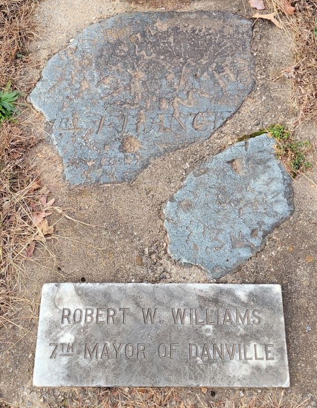
The recovered marker was placed next to the grave of former Danville Mayor Robert Walker Williams, who was the 7th Mayor of Danville from 1839 - 1840 as well as the 11th Mayor of Danville from 1845 - 1846.
Photographed by C. Ryan Dodson, October 19, 2024
4. Grove Street Cemetery
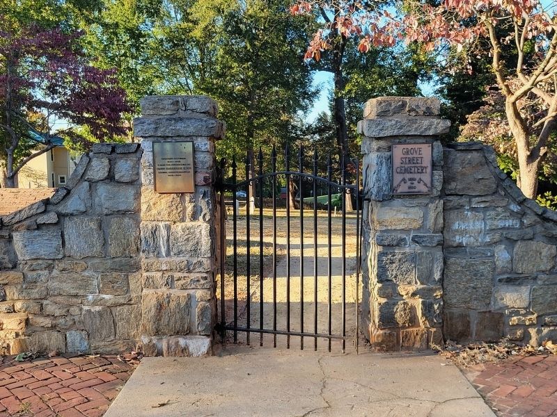
The Marker is one of fifteen located inside Grove Street Cemetery, Danville's oldest burial ground.
Credits. This page was last revised on February 4, 2025. It was originally submitted on December 19, 2024, by C. Ryan Dodson of Danville, Virginia. This page has been viewed 139 times since then and 15 times this year. Last updated on February 4, 2025, by C. Ryan Dodson of Danville, Virginia. Photos: 1, 2, 3. submitted on December 19, 2024, by C. Ryan Dodson of Danville, Virginia. 4. submitted on December 23, 2024, by C. Ryan Dodson of Danville, Virginia. • J. Makali Bruton was the editor who published this page.
