
Oroville in Okanogan County, Washington — The American West (Northwest)
The Hee-Hee Stone Legend
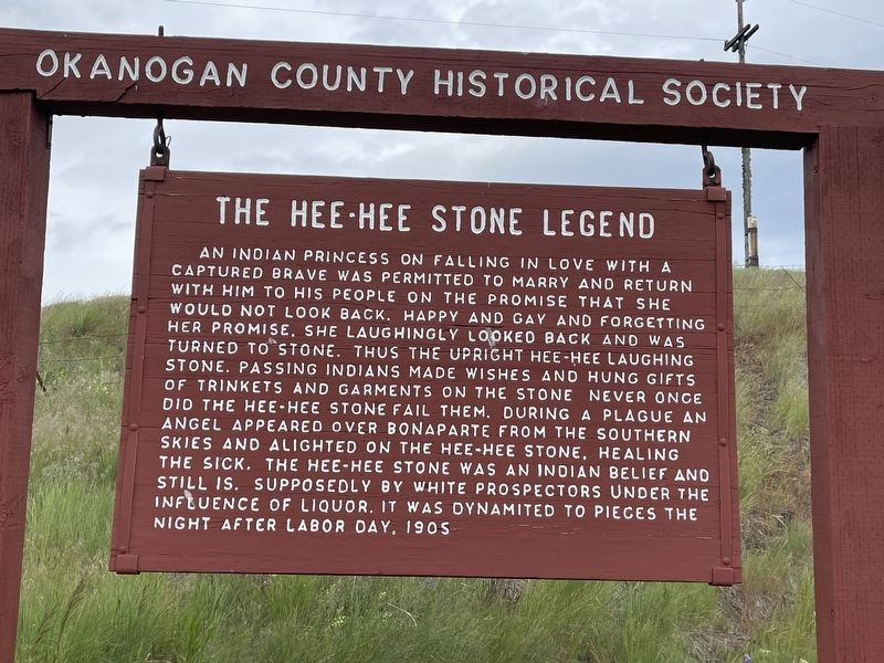
Photographed by Mark Teshera, June 22, 2024
1. The Hee-Hee Stone Legend Marker
Topics. This historical marker is listed in this topic list: Indigenous Peoples and Communities. A significant historical year for this entry is 1905.
Location. 48° 55.571′ N, 119° 9.301′ W. Marker is in Oroville, Washington, in Okanogan County. It is on Chesaw Road (County Road 9480) east of Havillah, on the left when traveling east. Touch for map. Marker is in this post office area: Oroville WA 98844, United
this page online

Regionally, this marker is in Washington’s Okanogan Highlands. It is also in the American Mountain West and in the Lewis & Clark Corridor. Globally, it is in North America, the Cascade Range, the Pacific Rim, the Western Hemisphere, the Western World, and the Anglosphere.
Other nearby markers. At least 8 other markers are within 16 miles of this marker, measured as the crow flies: Old Molson (approx. 4 miles away); The Molson School (approx. 4.2 miles away); The Story of Molson (approx. 4.2 miles away); Chesaw (approx. 4.9 miles away); Chesaw 4th of July Rodeo (approx. 4.9 miles away); Circle City (approx. 6.7 miles away); Sidley B.C. 1895-1912 (approx. 6.9 miles away); Wauconda Community Hall (approx. 15.2 miles away).
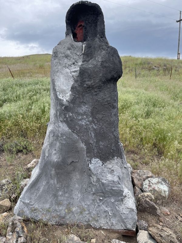
Photographed by Mark Teshera, June 22, 2024
2. The Hee-Hee Stone
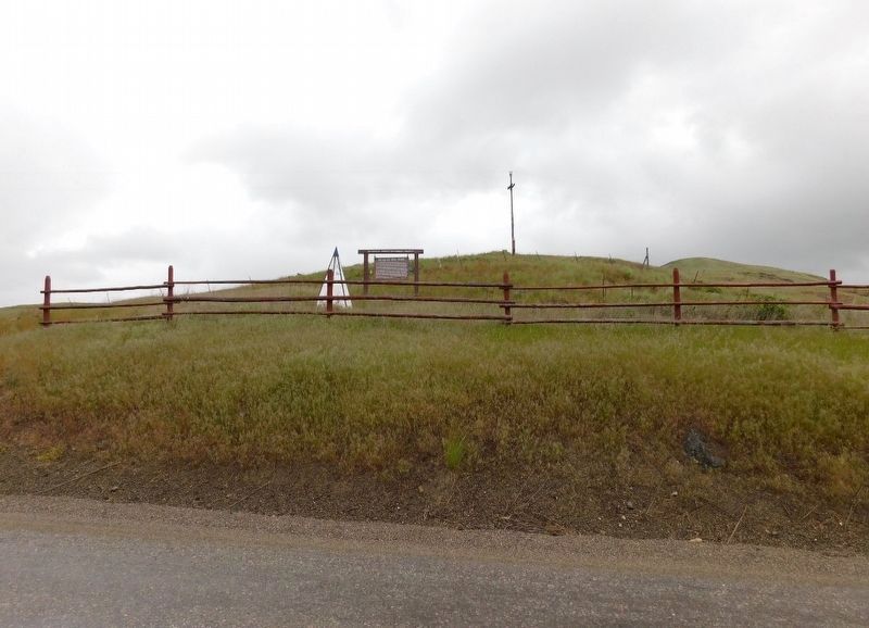
Photographed by Jimmy Emerson, July 2017
3. The Hee-Hee Stone Legend Marker
Credits. This page was last revised on April 5, 2026. It was originally submitted on February 4, 2025, by Mark Teshera of Oroville, Washington. This page has been viewed 328 times since then and 104 times this year. Photos: 1, 2. submitted on February 4, 2025, by Mark Teshera of Oroville, Washington. 3. submitted on April 4, 2026, by Jimmy Emerson of Dalton, Georgia. • James Hulse was the editor who published this page.
