
Near Oakland in Burt County, Nebraska — The American Midwest (Upper Plains)
Victor Colson Homestead

December 28, 2024
1. Victor Colson Homestead Marker
Erected by Dr. Kelly L. and Marcie Lechtenberg, Nebraska State Historical Society. (Marker Number 455.)
Topics and series. This historical marker is listed in these topic lists: Immigration • Settlements & Settlers. In addition, it is included in the Nebraska State Historical Society series list. A significant historical year for this entry is 1866.
Location. 41° 51.065′ N, 96° 27.791′ W. Marker is near Oakland, Nebraska, in Burt County. It is on U.S. 77 half a mile south of County Road M, on the right when traveling north. Touch for map. Marker is at or near this postal address: 1240 Co Rd 11, Oakland NE 68045, United States of America. Touch for directions.

Regionally,
this page online
Other nearby markers. At least 8 other markers are within 13 miles of this marker, measured as the crow flies: Governor Frederick Valdemar Erastus Peterson (approx. 1.1 miles away); The Founding of Oakland (approx. 1.6 miles away); The Logan Creek Site (approx. 3.4 miles away); Lyons (approx. 6 miles away); Bancroft (approx. 11.7 miles away); M60A3 Tank (approx. 12.4 miles away); John G. Neihardt Center (approx. 12½ miles away); John G. Neihardt Study (approx. 12½ miles away). Touch for a list and map of all markers in Oakland.
December 28, 2024
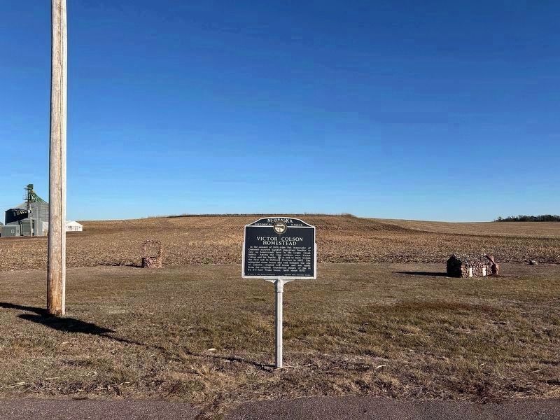
2. Victor Colson Homestead Marker
The stone well and house can be seen in the background.
December 28, 2024
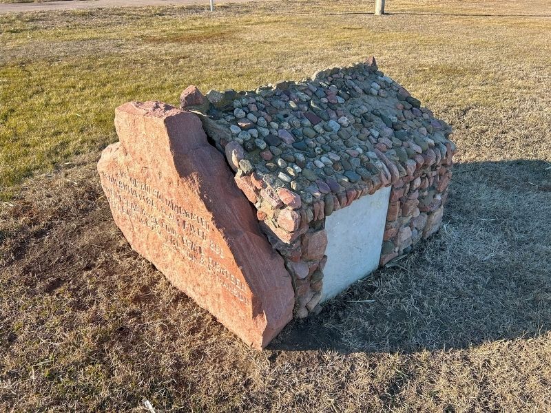
3. Miniature Stone House
"Victor Colson immigrated from Sweden 1861. Claim filed 1866.
Site of slab house fourteen by eighteen feet, built 1867 by V. Colson & J. H. Hanson"
Site of slab house fourteen by eighteen feet, built 1867 by V. Colson & J. H. Hanson"
December 28, 2024
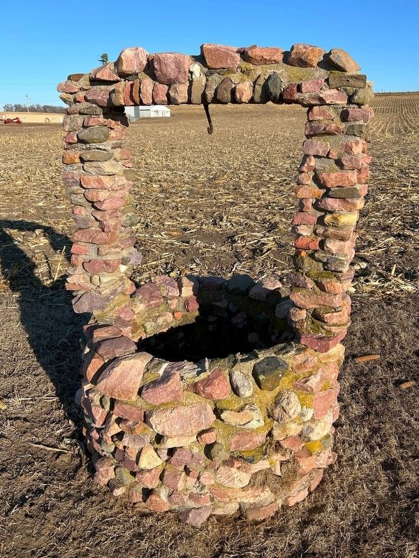
4. Stone Well
Credits. This page was last revised on July 13, 2025. It was originally submitted on February 8, 2025. This page has been viewed 301 times since then and 41 times this year. Photos: 1, 2, 3, 4. submitted on February 8, 2025.
