Santa Monica in Los Angeles County, California — The American West (Pacific Coastal)
Palisades
Photographed by Craig Baker, February 9, 2025
1. Palisades Marker
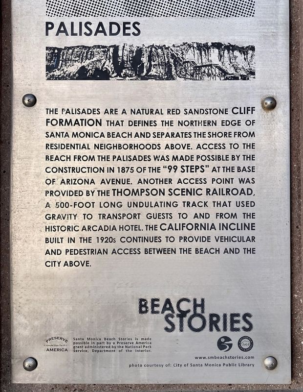
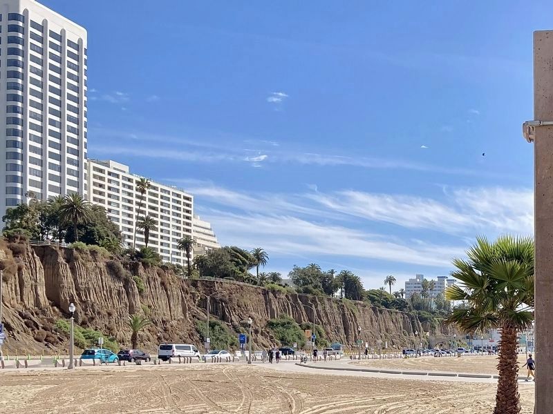
The Palisades are a natural red sandstone cliff formation that defines the northern edge of Santa Monica Beach and separates the shore from residential neighborhoods above. Access to the beach from the Palisades was made possible by the construction in 1875 of the "99 Steps" at the base of Arizona Avenue. Another access point was provided by the Thompson Scenic Railroad, a 500-foot long undulating track that used gravity to transport guests to and from the historic Arcadia Hotel. The California Incline built in the 1920s continues to provide vehicular and pedestrian access between the beach and the city above.
Santa Monica Beach Stories is made possible in part by a Preserve America grant administered by the National Park Service, Department of the Interior.
photo courtesy of: City of Santa Monica Public Library.
Erected by City of Santa Monica, California State Parks, and National Park Service.
Topics. This historical marker is listed in these topic lists: Industry & Commerce • Parks & Recreational Areas. A significant historical year for this entry is 1875.
Location. 34° 0.893′ N, 118° 30.083′ W.
this page online

Regionally, this marker is in Greater Los Angeles and in the Transverse Ranges. It is also on the American Pacific Coast. Globally, it is in North America, on the Ring of Fire, on the Pacific Rim, in the Western Hemisphere, in the Western World, and in the Anglosphere. Historically, it finds itself in what was once New Spain and also Mexico’s Alta California.
Other nearby markers. At least 8 other markers are within walking distance of this marker: John P. Jones Monument (about 700 feet away, measured in a direct line); Will Rogers Highway (approx. 0.2 miles away); Lifeguarding (approx. 0.2 miles away); The Discovery of Santa Monica (approx. ¼ mile away); “Trees of Santa Monica” (approx. ¼
Photographed by Craig Baker, February 9, 2025
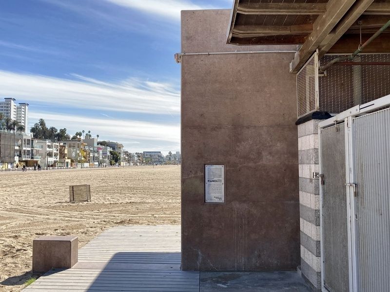
2. Palisades Marker
Regarding Palisades. One mile from here is a suburb of Los Angeles called Pacific Palisades. It was the location of the devastating 2025 Palisades Fire.
Additional keywords. Pacific Palisades
Photographed by Craig Baker, February 9, 2025
3. Palisades
Credits. This page was last revised on February 25, 2026. It was originally submitted on February 9, 2025, by Craig Baker of Sylmar, California. This page has been viewed 221 times since then and 17 times this year. Photos: 1, 2, 3. submitted on February 9, 2025, by Craig Baker of Sylmar, California.
